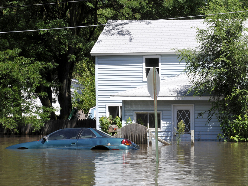
The first spatially realistic catalog of synthetic flood event risk across the entire United States uncovers high-risk areas and estimates the probability of another Katrina–level flood loss.
Hazards & Disasters
Posted inNews
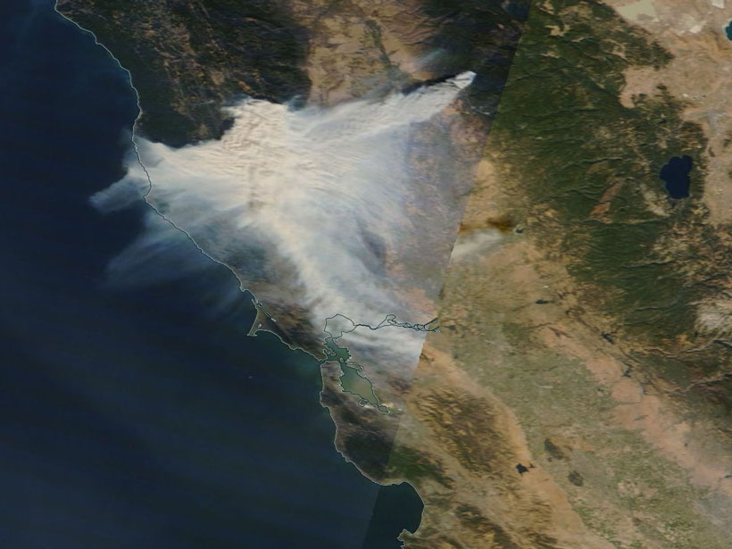
New Eyes on Wildfires
Onboard machine learning and compact thermal imaging could turn satellites into real-time fire management tools to help officials on the ground.
Posted inResearch Spotlights
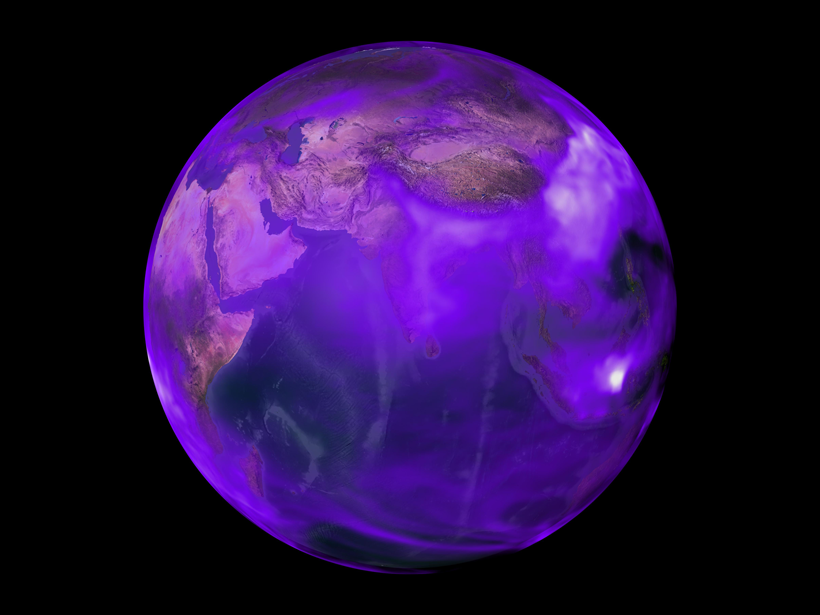
Previous Research Has Underestimated Black Carbon Emissions
New observational constraints suggest that U.S. emissions of this heat-absorbing aerosol were 80% higher during the late 20th century than prior estimates have indicated.
Posted inScience Updates
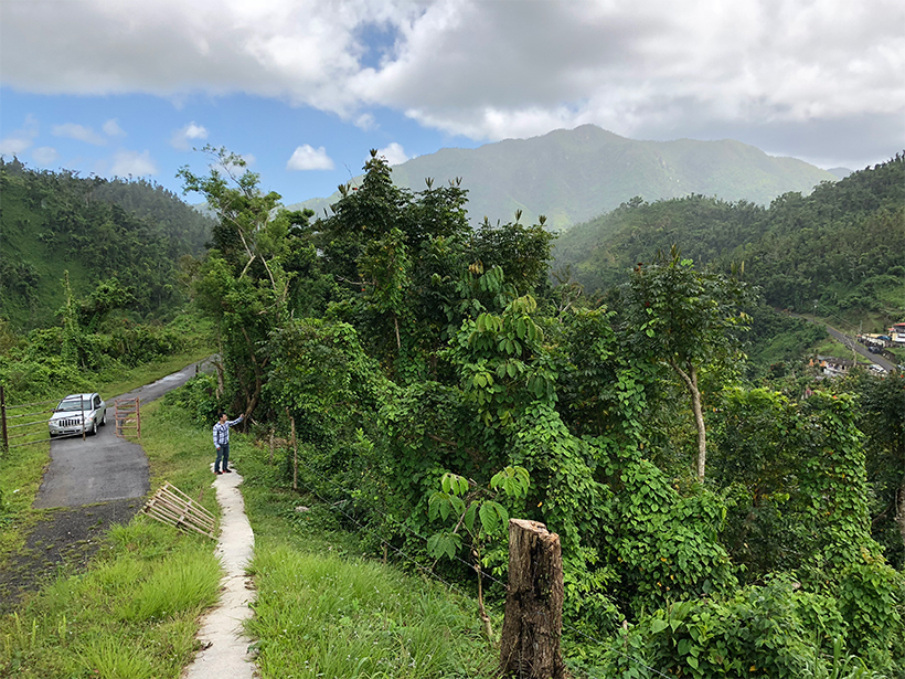
Sharing Data Helps Puerto Ricans Rebound After Hurricane Maria
Recent hurricane seasons left many communities wondering if this is the new normal. Digital infrastructure designed for citizen data collection may help these communities increase resilience.

Posted inNews
California Heat Waves Triggered by Pacific Thunderstorms
New link may offer 5-week lead time on predicting extreme heat in California’s fruit belt.
Posted inNews
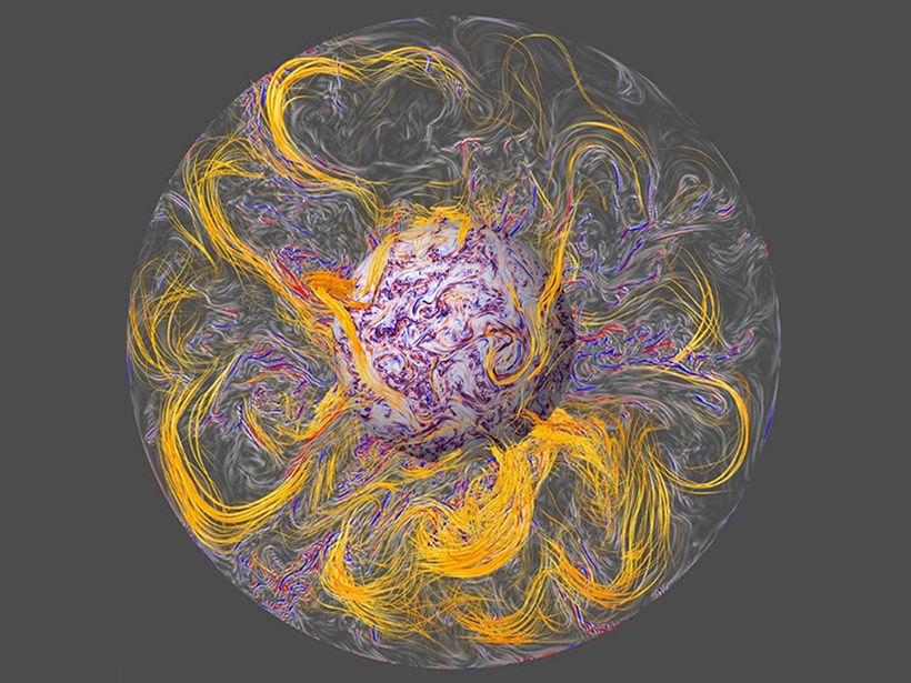
New Model Shines Spotlight on Geomagnetic Jerks
Scientists get one step closer to being able to predict jerks—notoriously capricious changes to Earth’s geomagnetic field detectable by satellites.

Posted inScience Updates
Linking Observations and Modeling of Flat-Slab Subduction
The Center for Tectonics and Tomography: Workshop on Flat Slab Subduction; Houston, Texas, 18–20 January 2019

Posted inResearch Spotlights
Study of Alaskan Landslide Could Improve Tsunami Modeling
A rare submarine landslide provides researchers with a reference point for modeling the biggest tsunamis.

Posted inResearch Spotlights
All Types of Large Earthquakes Produce Prompt Gravity Signals
New observations of recently discovered gravity perturbations that precede seismic waves have the potential to improve earthquake early-warning systems in California and other tectonic settings.

Posted inNews
National Volcano Warning System Gains Steam
It took more than a decade, but a bill that funds U.S. volcano monitoring efforts and establishes a single system became law on 12 March.