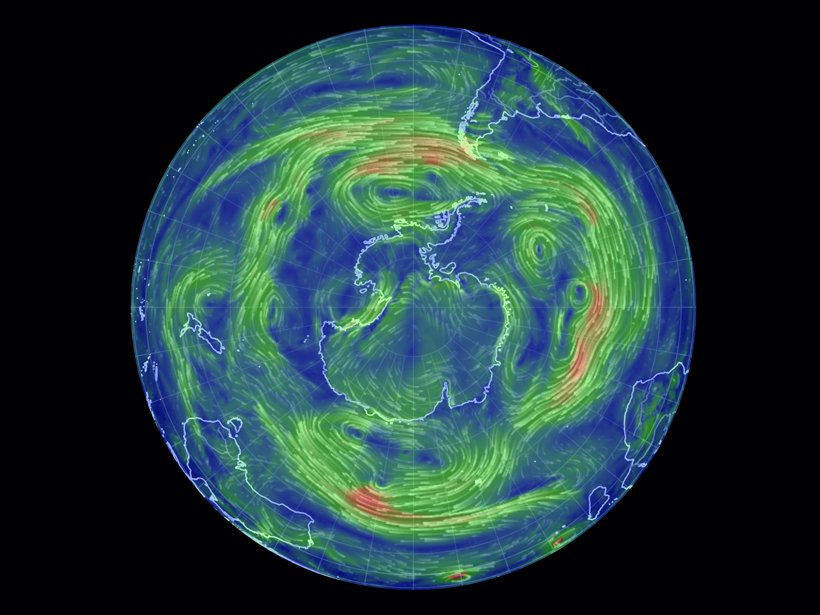
A prototype model allows scientists to investigate how wind eddies and other atmospheric phenomena may affect the prevalence of heat waves and cold snaps in the Southern Hemisphere.
Hazards & Disasters

Posted inScience Updates
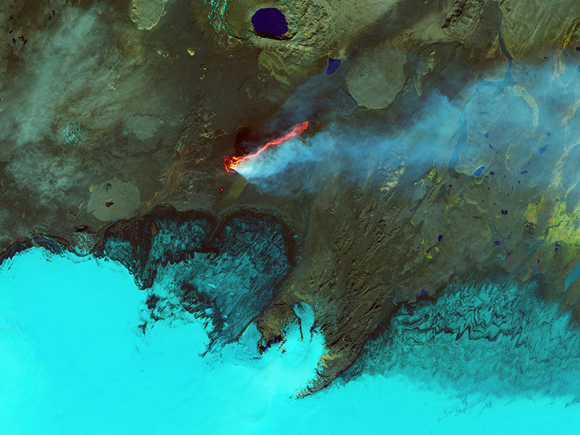
Forensic Probe of Bali’s Great Volcano
Evidence from volcanic crystals sheds light on magma storage under Mount Agung and helps explain this giant volcano’s frequent eruptions.

Posted inENGAGE, News
Ancient Tsunami Tied to Volcanic Flank Collapse in Italy
Stromboli’s volcanic cone may have suffered multiple flank collapses between the 14th and 16th centuries, triggering tsunamis that led to the abandonment of the island.
Posted inResearch Spotlights
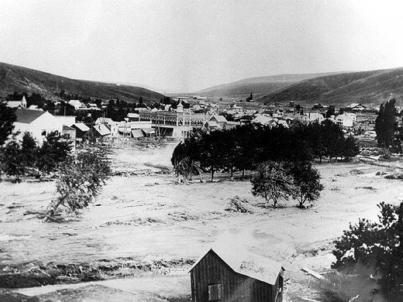
The Meteorological Culprits Behind Strange and Deadly Floods
A new study examines how unusual meteorology interacted with topography and other local conditions to generate some of the most devastating floods in American history.
Posted inEditors' Highlights
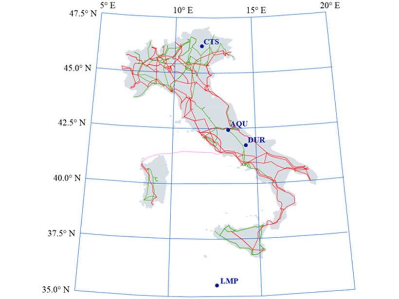
A Space Weather Threat in the Mediterranean Region?
The impact of space weather on power grids in Mediterranean countries, such as Italy, needs deeper assessment, including consideration of coastal effects, ground conductivity, and failure reports.

Posted inNews
Waves of Deadly Brine Can Slosh After Submarine Landslides
Brine pools—hypersaline, low-oxygen waters deadly to many forms of ocean life—can experience waves hundreds of meters high when hit by a landslide, potentially overspilling their deep-sea basins.
Posted inFeatures
Earth’s Devastating Power, Seen by Satellite
Hurricanes, volcanoes, droughts, floods, fires, tsunamis: Satellites capture some of Earth’s most destructive forces.

Posted inNews
Podcast: Uncovering the Ozone Hole
In the latest episode of its special series, AGU’s Third Pod from the Sun features scientists whose work found the source of a hole in the sky.
Posted inResearch Spotlights
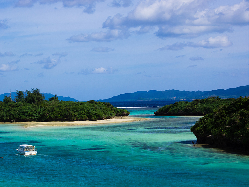
Unraveling the Origin of Slow Earthquakes
Different nucleation styles detected in five slow-slip events in the same area of Japan’s Ryukyu subduction zone suggest the physical properties along this tectonic plate interface change over time.
Posted inNews
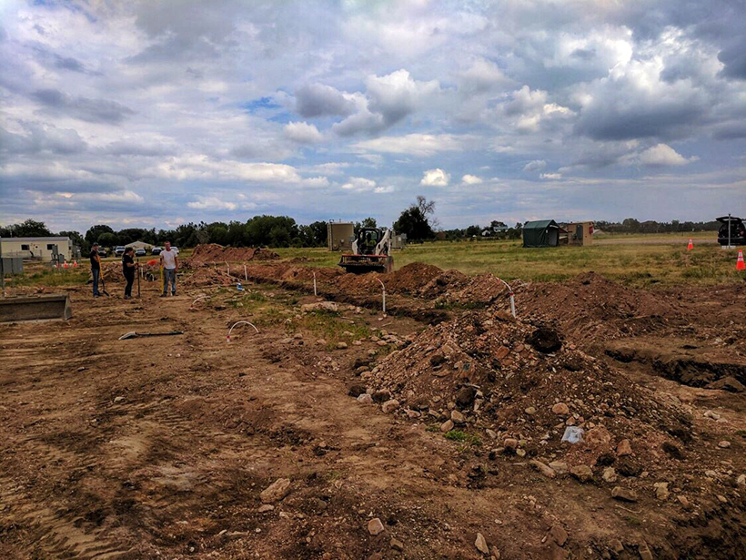
Detecting Fugitive Methane Leaks for Public Safety
A holistic approach to tracking leaks from natural gas pipelines could prevent explosions and also help reduce greenhouse gases in the atmosphere.