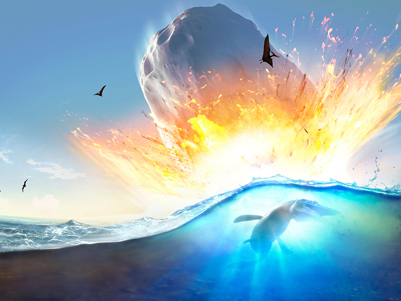
The cataclysmic Chicxulub impact roughly 66 million years ago spawned a tsunami that produced wave heights of several meters in distant waters, new simulations suggest.
Hazards & Disasters

Posted inNews
Lessons Learned from Kīlauea Eruption’s Media Frenzy
The Kīlauea eruption earlier this year unleashed a media bonanza. Here are nine tips about how to debunk geohazard misinformation in real time from a scientist frequently tapped for expert comments.

Posted inResearch Spotlights
Plasma Activity Around Sunspots May Foreshadow Solar Storms
A new study identifies possible precursors to space weather in the regions encircling sunspots.

Posted inScience Updates
Facilitating Field-Scale Experiments in Volcano Hazards
Multidisciplinary Volcano Hazards Experiments at the Geohazards Field Station; Amherst and Springville, New York, 24–27 July 2018
Posted inNews
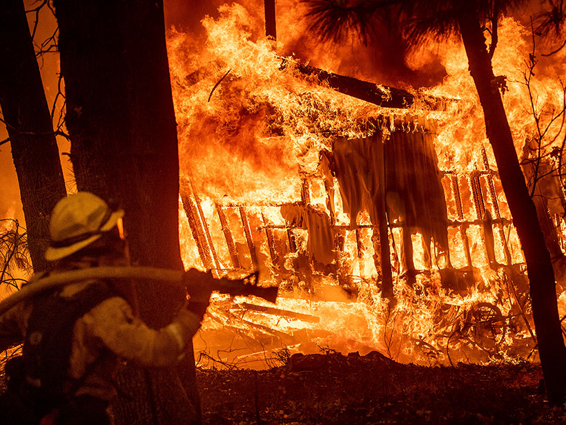
Communities of Color Are More Vulnerable to Wildfires
Affluent white people are more likely to live in fire-prone areas, but race and socioeconomic vulnerability can put minority communities at greater risk, a new study finds.
Posted inNews
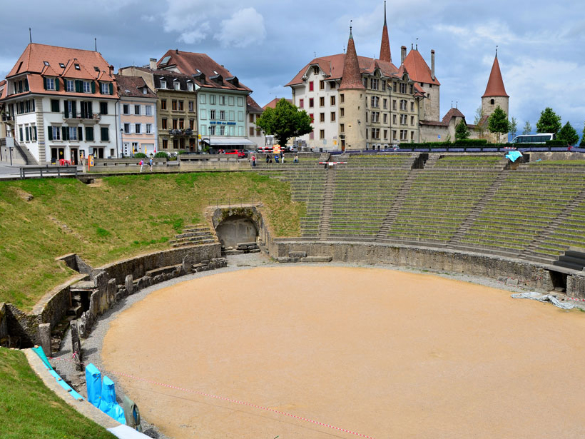
Ancient Romans Polluted Their Lakes Just Like We Do Today
Sediments from a lake in Switzerland reveal that ancient Romans triggered dead zones caused by the runoff of nutrients. Sound familiar?

Posted inNews
Enormous Impact Crater Spotted in Greenland Under Glacial Ice
Ice-penetrating radar revealed a 31-kilometer impact crater—one of the world’s largest—in northwestern Greenland that might have been formed fewer than 20,000 years ago.

Posted inFeatures
Why Is the Gulf of Maine Warming Faster Than 99% of the Ocean?
The Gulf of Maine’s location at the meeting point of two major currents, as well as its shallow depth and shape, makes it especially susceptible to warming.
Posted inNews
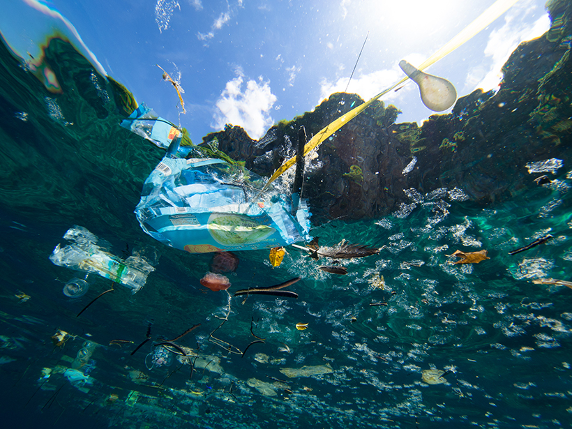
The Many Unknown Facets of Plastics in Ecosystems
Few studies have examined lakes or wide swaths of ocean areas, leaving critical data gaps in how plastic pollution affects wildlife and moves across food webs.

Posted inResearch Spotlights
Volcano in Iceland Is One of the Largest Sources of Volcanic CO2
High-precision airborne measurements, in combination with atmospheric modeling, suggest that the Katla subglacial caldera may be one of the planet’s biggest sources of volcanic carbon dioxide.