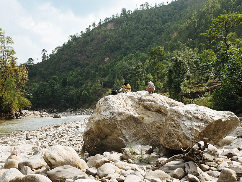
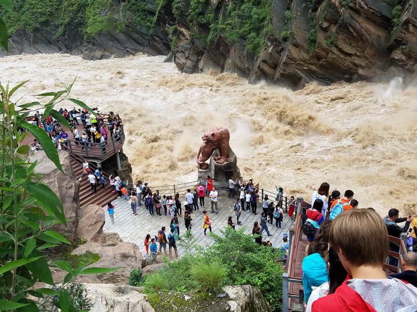
Many of the house-sized boulders that litter Himalayan river channels were transported thousands of years ago by glacial lake outburst floods, new observations suggest.
Himalayas
Posted inEditors' Highlights
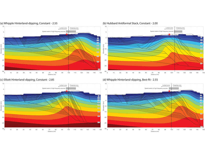
Deconvolving What Lies Beneath the Himalaya
A new study that combines constraints from the 2015 Gorkha earthquake, forward models of deforming crust, and thermochronology data gives new insights into the structure of the Himalaya.
Posted inNews
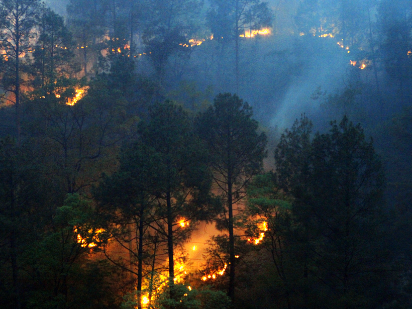
COVID-19 Lockdown Reduces Forest Fires in the Western Himalayas
The overlap between peak fire season and pandemic response has made for a serendipitous experiment in forest fires in two Indian states. Humans, not lightning, seem to be the likeliest culprit.
Posted inNews
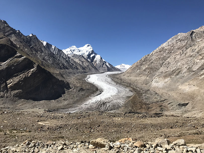
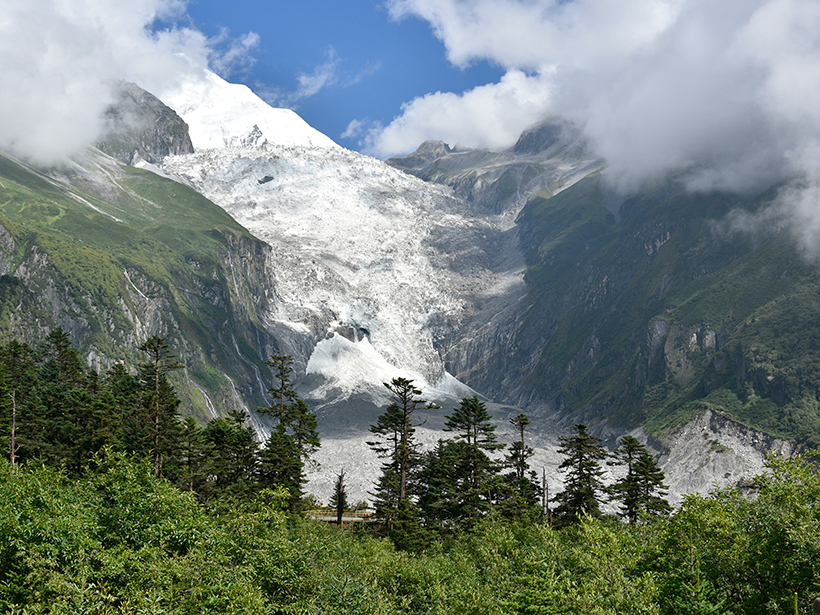
A Future of Retreating Glaciers in the Himalayas
India’s first regional climate change assessment warns of accelerated glacier melt.
Posted inScience Updates
Asia’s Mega Rivers: Common Source, Diverse Fates
How do humans affect the ways that Asia’s mega rivers deliver sediment and dissolved matter to farms, river deltas, and, eventually, the sea? A proposed study would construct an integrated picture.
Posted inNews
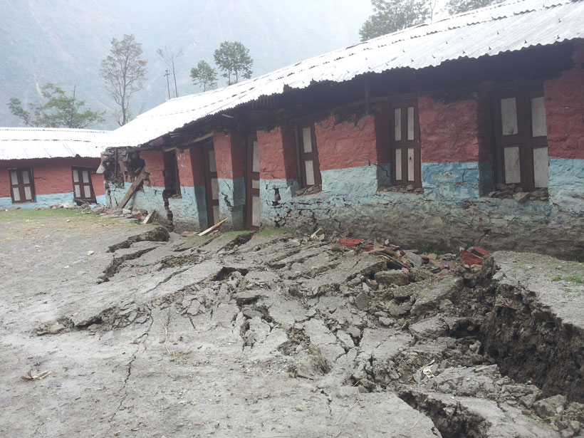
Geodetic Data Pinpoint Earthquake-Prone Regions of the Himalayas
GPS measurements of the Indian and Eurasian plates reveal four locked segments most likely to produce large earthquakes.
Posted inNews
The Give and Take of Mercury in Glacial Landscapes
As glacial ice melts, toxic mercury is released into the environment. But a new study shows vegetation may be an effective cleanup crew.
Posted inNews
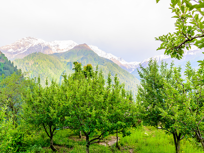
As Climate Changes, So Does the Apple as Rising Temperatures Push Growers Higher Into Himalayas
Climatic factors have wreaked havoc on India’s apple crops by disrupting natural flowering seasons and pollination systems. The shape, size, and quality of Himalayan apples have changed.
Posted inNews
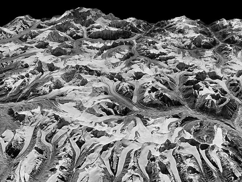
Spy Satellite Reveals Accelerated Pace of Himalayan Glacier Melt
Images taken covertly in the 1970s have taken on a new purpose in a recent glaciology study.

Posted inEditors' Highlights
Enabling Dynamic, Regional-Scale Modelling of Outburst Floods
The GeoClaw model is used to simulate a landslide-dam outburst flood through rugged Himalayan topography.