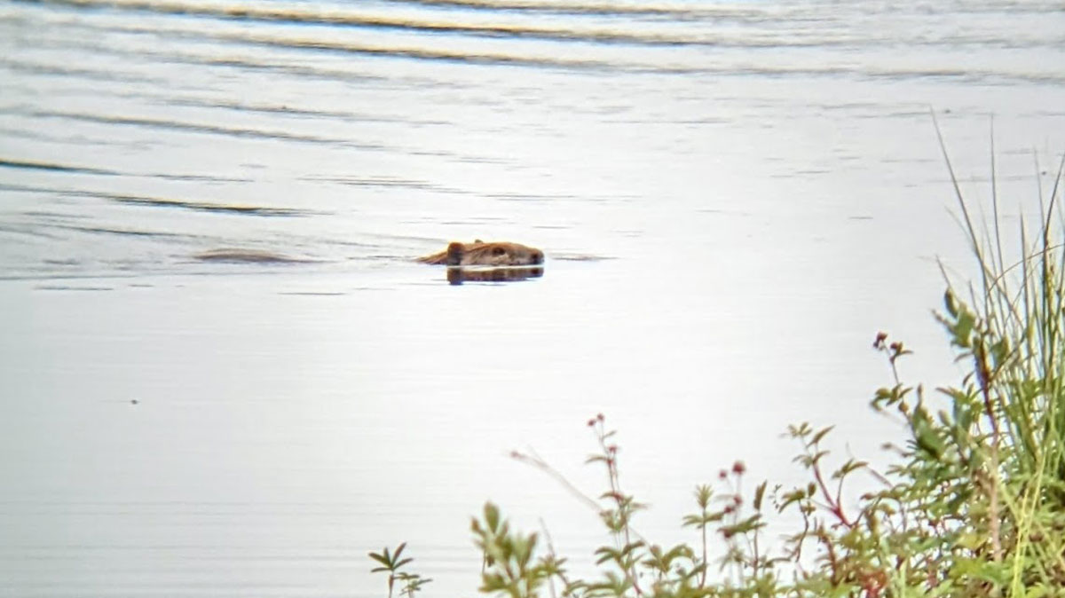
Historical data on beavers’ Arctic expansion are lacking, but tree rings are shedding light on the timeline.
Indigenous Peoples & Traditional Knowledges
Posted inNews
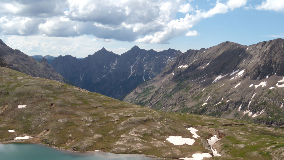
Pay Dirt: How Colonialism Left Its Mark on the Soil of the American Southwest
An alpine lake holds traces of how Spanish conquistadors kicked up dust as they colonized the Southwest.
Posted inNews
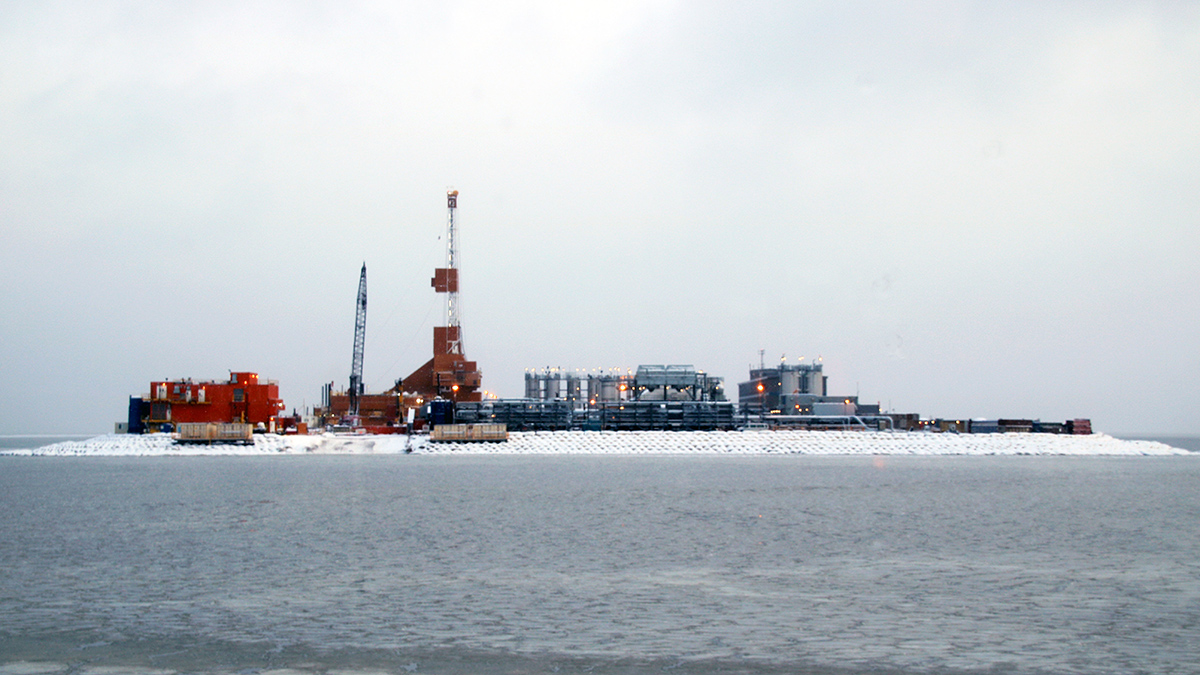
This Arctic Atlas Shows Where Oil and Gas Activities Overlap with Wildlife and Indigenous Communities
To slow climate change, the world must keep its fossil fuels in the ground. New maps of Arctic activities show where resources should stay put.
Posted inResearch Spotlights
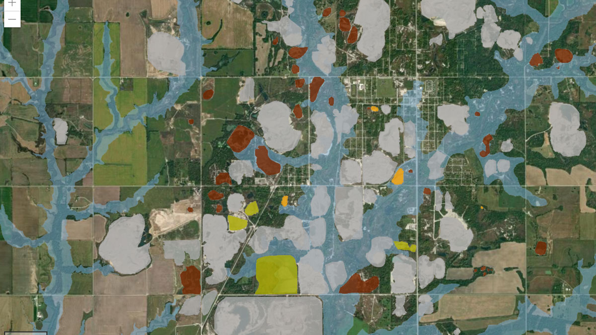
Making a Map to Make a Difference
A new study highlights the partnership between scientists and nonscientist community members in building an interactive GIS map to show flooding risk in a Superfund site.
Posted inNews
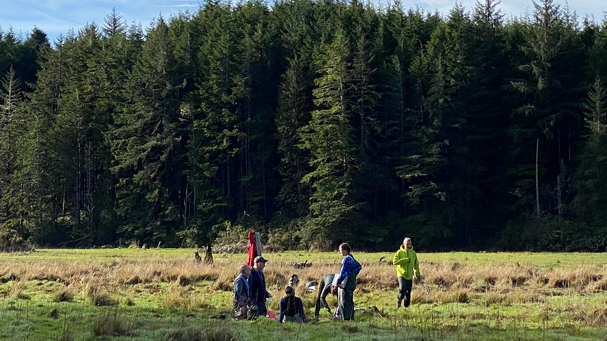
Blending Science and Indigenous Knowledge to Tell an Estuary’s Story
A new study of nutrient levels in soil cores supports oral Indigenous history, informing future estuary restoration efforts.

Posted inNews
What Okinawan Sailor Songs Might Teach Us About the Climate
New work bridges the worlds of Ryukyuan classical music and the geosciences.
Posted inNews
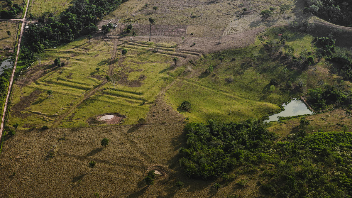
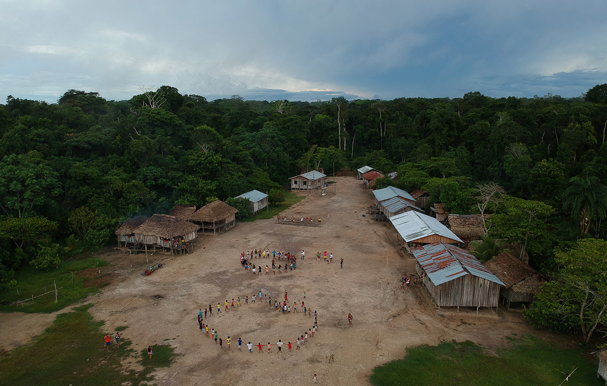
How Ancient Indigenous Societies Made Today’s Amazon More Resilient
Portions of the forest managed by pre-Columbian populations hold higher biomass and are more able to withstand climate change.
Posted inResearch Spotlights
Climate Modeling for Communities, with Communities
End users, such as Indigenous community members developing climate adaptation efforts, make better use of climate models when researchers collaborate with them from the start.
Posted inNews
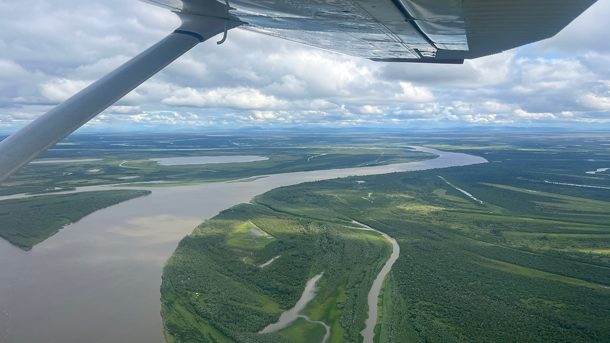
Amid the Arctic’s Hottest Year, Arctic Science Faces a Data Deficiency
The 20th annual Arctic Report Card reveals new highs in temperature and new lows in sea ice, as well as an uncertain outlook for the availability of federal data.
Posted inNews
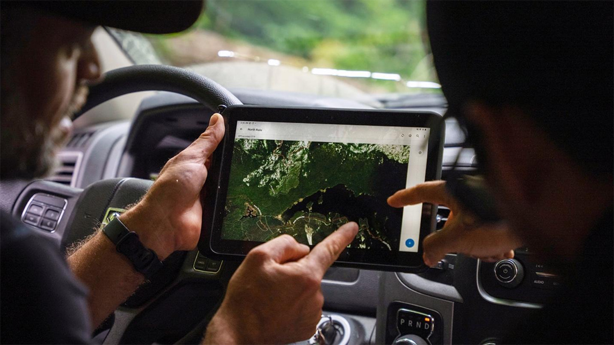
Fire Encroaches on One of the Amazon’s Most Pristine Indigenous Lands
New research shows how recurring wildfires in the buffer zones around Brazil’s Vale do Javari may undermine one of the Amazon’s last great refuges for isolated Indigenous peoples.