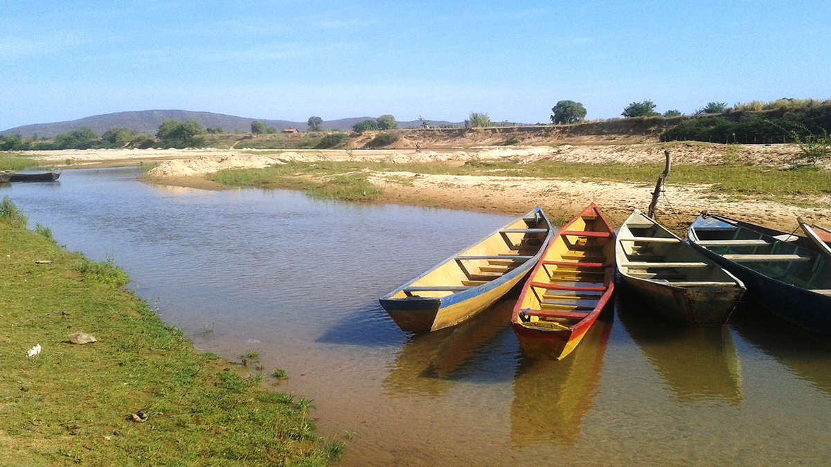
La extracción desmedida de aguas subterráneas podría estar obligando a los ríos a infiltrar agua hacia el subsuelo, según muestra un nuevo estudio. Las regiones con actividades de irrigación intensivas son las más expuestas a este riesgo.
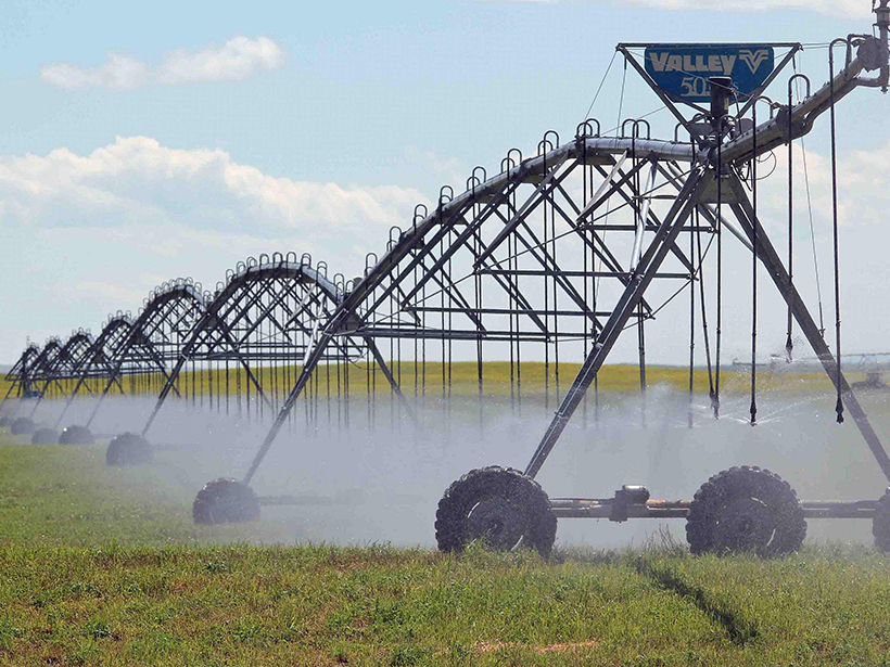
irrigation
Decoding Crop Evapotranspiration
The intricate factors influencing cropland evapotranspiration is uncovered in a new article, from stressors to diverse management practices, and reveals critical insights into changing climates.
Brazil’s Rivers Are Leaking
Wells overpumping groundwater could be forcing rivers to seep underground, a new study shows. Regions with intensive irrigation activities are at the most risk.
Groundwater Levels Are Dropping Around the World
Well data from around the world show declines driven by water use and climate change.
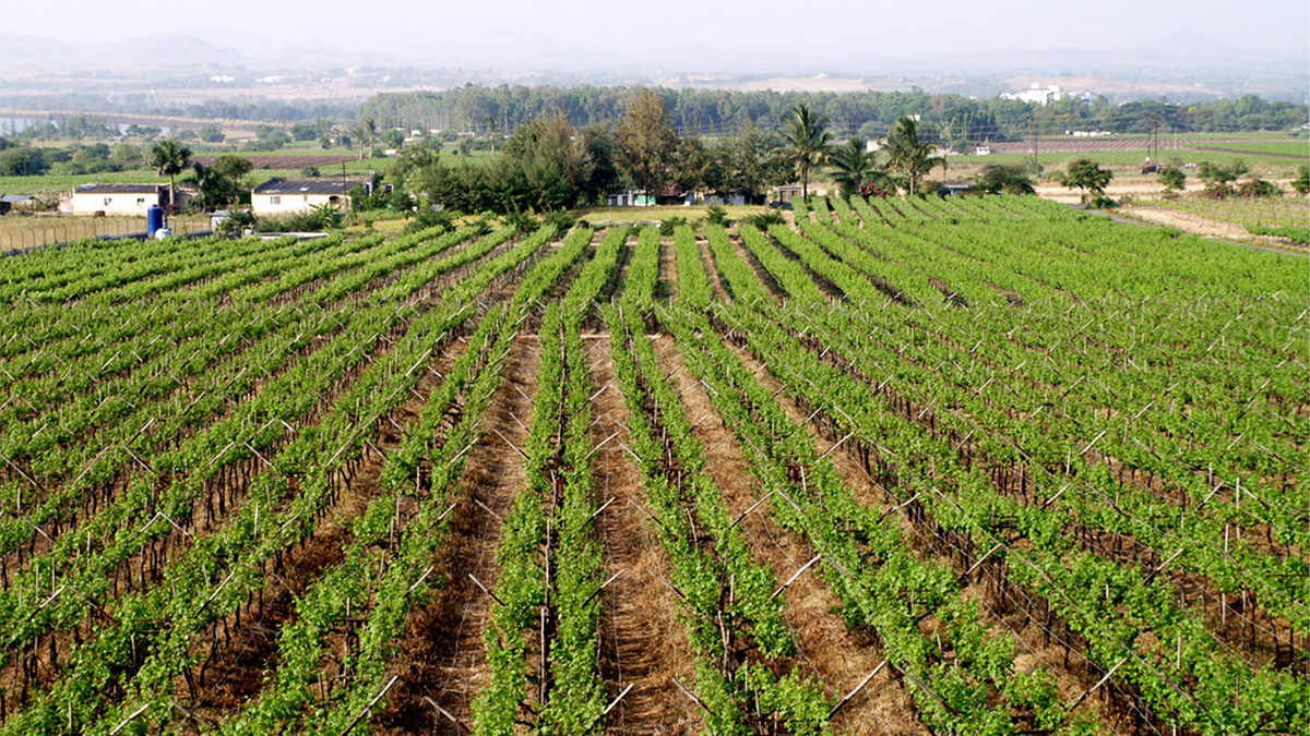
Rates of Groundwater Depletion in India Could Triple by Midcentury
Climate change is contributing to crop stress associated with a growing demand for freshwater.
New Forecasting Tool Could Help Indian Farmers Plan Irrigation
Tropical weather is unpredictable, but a new tool could help farmers get a better grasp on it.
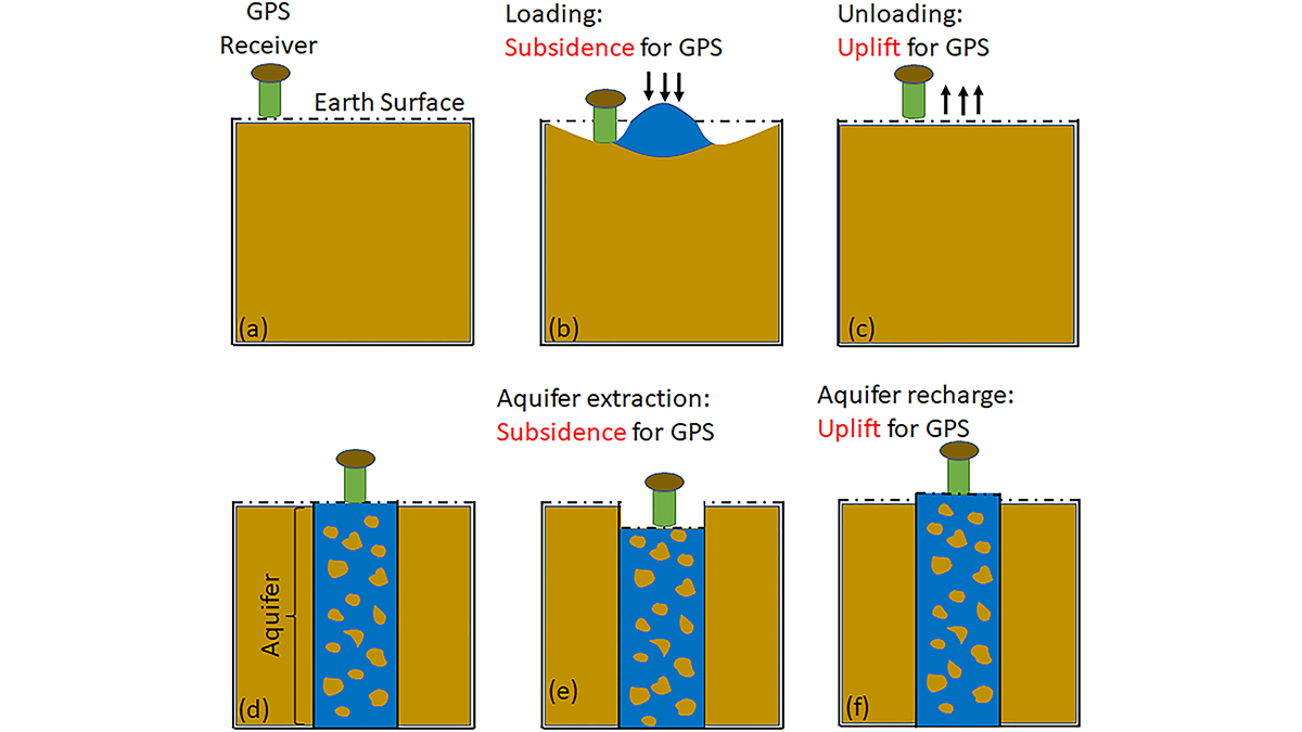
GPS Observations Sense Groundwater Change in Australia
By exploiting the fact that changes in groundwater cause deformations of the Earth’s surface, GPS receivers are used to detect groundwater changes related to extreme events and to seasonal oscillations.
Irrigation in Indo-Gangetic Plain Has Little Impact on Heat Stress
Irrigation-related cooling during summer months is overestimated by roughly 5 times, highlighting the need for climate models to accurately reflect local agricultural practices.
Ancient Maya Made Widespread Changes to Wetland Landscape
A system of canals 2 millennia old sustained a local population after the collapse of its neighbors, and it continues to affect local ecology today.
Can Satellites Fill Gaps in Agricultural Water Monitoring?
Past studies that have estimated irrigation water usage based on satellite remote sensing have had large uncertainties that could hamper effective water management.


