Una tecnología de retención de agua subterránea recientemente reactivada podría conservar el agua y aumentar drásticamente el rendimiento de los cultivos en paisajes áridos con suelos arenosos como el África Subsahariana.
irrigation

Posted inEditors' Highlights
Machine Learning Predicts Subsidence from Groundwater Pumping
Machine learning and data on aquifer type, sediment thickness, and proxies for irrigation water use has been used to produce the most comprehensive map of land subsidence in the western U.S. to date.
Posted inNews
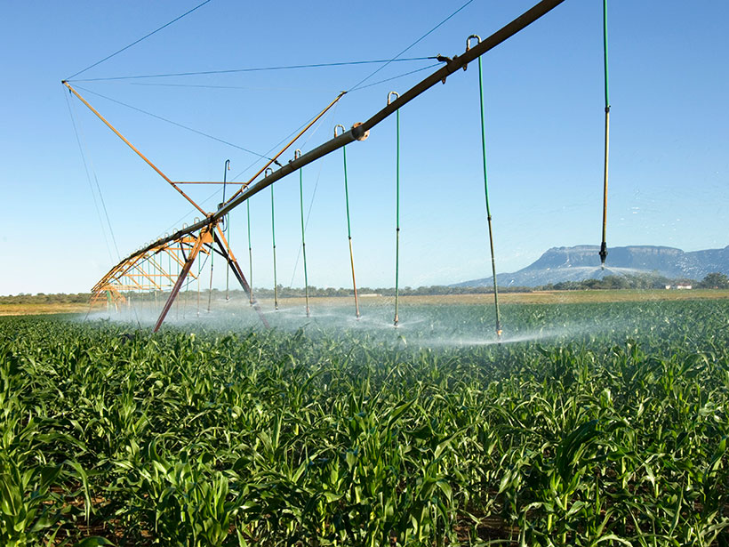
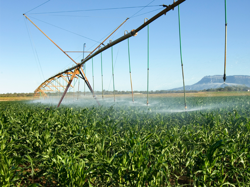
Minireservoirs Could Save Farmers with Sandy Soils
A recently revived subsurface water retention technology could conserve water and drastically increase crop yields in arid landscapes with sandy soils like sub-Saharan Africa.

Posted inEditors' Highlights
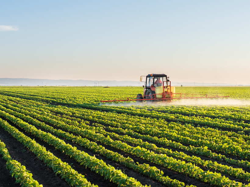
Massive Scale Evaporative Water Losses from Irrigation
Evaporation can demonstrate the effects of crop irrigation on decadal trends in evapotranspiration at a regional spatial extent.

Posted inScience Updates
Growing More with Less Using Cell Phones and Satellite Data
Researchers from the University of Washington and Pakistan are using 21st century technology to revive farming as a profitable profession in the Indus Valley.
Posted inNews
More Intense Rains in U.S. Midwest Tied to Farm Mechanization
Replacement of horses by machines since the 1940s allowed central U.S. farmers to change the crops they planted, which may have altered regional climate.

Posted inResearch Spotlights
How Irrigation in Asia Affects Rainfall in Africa
Up to 40% of the total rainfall in arid parts of East Africa may be caused by water vapor from farming practices in South Asia.
Posted inResearch Spotlights
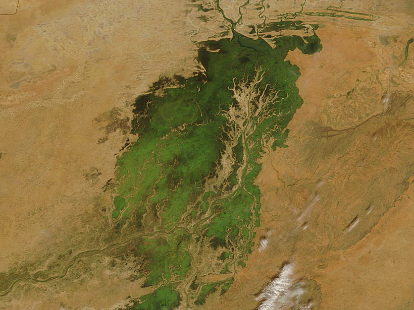
Satellite Measurements May Help Real-Time Water Management
Upper Niger River study shows that satellite altimetry could help resource managers optimize reservoir releases even on ungauged rivers.