Source: Water Resources Research
With the demand for water stored in reservoirs rising in many areas, it is becoming increasingly important to optimize reservoir releases to meet human needs and to satisfy environmental constraints. To accomplish this in real time, managers must take into account reservoir storage and inflow records as well as data on downstream conditions, including inflows from tributaries and the operations of downriver facilities. In basins where in situ data are sparse or delayed in transmission, as is the case for many of Africa’s large rivers, emergent satellite altimetry could provide a viable alternative.
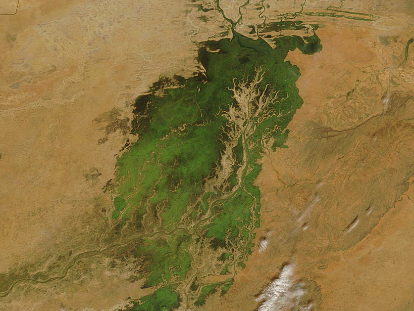
In a proof-of-concept modeling study, Munier et al. investigated the potential for using water level data from the upcoming Surface Water and Ocean Topography (SWOT) mission—a collaboration between NASA and Centre National d’Etudes Spatiales—to more effectively manage water resources in Mali’s Upper Niger River Basin. The primary SWOT instrument will be a wide-swath altimeter, which will have the ability to map water elevation and areal extent at an unprecedented spatial resolution (50–100 meters) and vertical accuracy of several centimeters when measurements are averaged over areas of 1 square kilometer.
In this study, the researchers incorporated virtual SWOT observations of reservoir and river levels into a modeling framework that simulates the hydrologic conditions on either side of Mali’s Sélingué Dam. The results demonstrate that incorporating altimetry data into this framework improves estimates of water level and discharge, potentially helping resource managers ensure optimal reservoir releases. These lead to downstream discharges very close to the minimum flow requirement of 50 cubic meters per second at Kirango, a location just upstream of the ecologically crucial Niger Inner Delta.
Although low-flow sustainability was the only management constraint considered in this study, the researchers contend that additional constraints can easily be incorporated into the modeling framework. Assuming the SWOT mission is successful, the team concludes that SWOT altimetry offers the potential for real-time water resource management on data-limited and ungauged rivers around the world. (Water Resources Research, doi:10.1002/2014WR016157, 2015)
—Terri Cook, Freelance Writer
Citation: Cook, T. (2015), Satellite measurements may help real-time water management, Eos, 96, doi:10.1029/2015EO030985. Published on 9 June 2015.
Text © 2015. The authors. CC BY-NC 3.0
Except where otherwise noted, images are subject to copyright. Any reuse without express permission from the copyright owner is prohibited.