Source: Water Resources Research
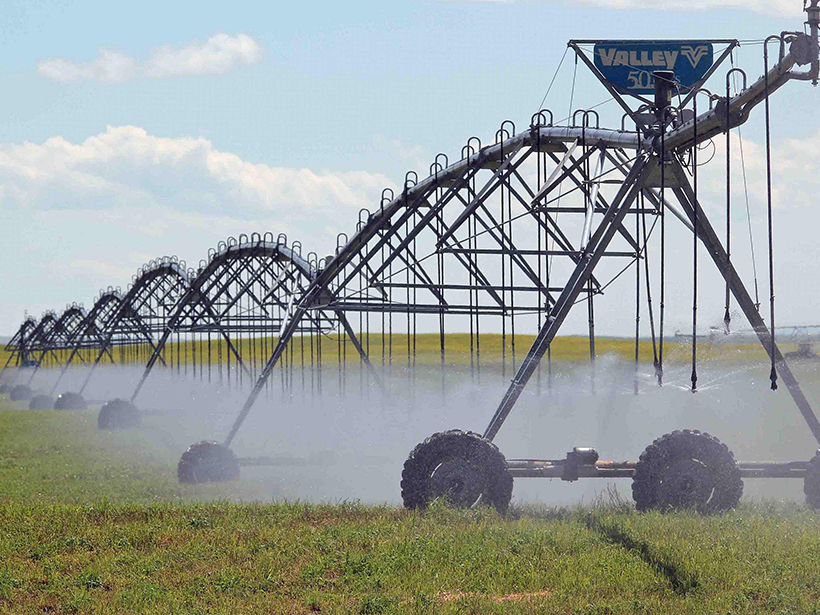
As Earth’s population continues to rise and anthropogenic climate change threatens the habitability of parts of our planet, freshwater management is becoming a life-or-death issue for millions. Agriculture uses more of Earth’s freshwater than any other sector, primarily for crop irrigation. In places where water is scarce, policymakers are eager to regulate water usage and incentivize more conscientious practices.
Key to advancing these goals, however, is accurately measuring how much water farmers are using. Installing metering devices on irrigation wells is one potential solution, but farmers may be disincentivized to cooperate with these efforts for fear of being charged for drawing too much water. As a result, metering remains rare in rich countries and is almost nonexistent in low-income areas.
An alternative solution that many scientists have proposed is using satellite remote sensing to try to monitor irrigation water usage. But in a new meta-analysis of numerous past studies spanning 1980–2020, Foster et al. suggest that uncertainties in remote sensing methodologies for this purpose remain large and may lead to substantial welfare losses for farmers.
A major goal of the new study was to examine how past research validated satellite estimates of water use, particularly how they compared with in situ measurements. Of 26 studies that sought to use satellite data to estimate irrigation water use, only 7 compared findings to measurements collected on the ground at spatial scales relevant to a single field or farm. Furthermore, the results from this small group of validated studies showed there were large differences—between 20% and 60%—between the satellite estimates and farmers’ actual water use.
The authors also calculated the impact that these errors would have on both farmers’ incomes and water systems. They show that water use measurement errors could have severe impacts on agricultural profitability and could reduce abilities to effectively manage scarcity and competition over water resources. The authors conclude that remote sensing should not be seen as a quick fix to long-standing challenges of in situ water monitoring and that greater transparency is needed about uncertainties in these methods and their implications for water policy. (Water Resources Research, https://doi.org/10.1029/2020WR028378, 2020)
—David Shultz, Science Writer
Citation:
Shultz, D. (2020), Can satellites fill gaps in agricultural water monitoring?, Eos, 101, https://doi.org/10.1029/2020EO151953. Published on 01 December 2020.
Text © 2020. AGU. CC BY-NC-ND 3.0
Except where otherwise noted, images are subject to copyright. Any reuse without express permission from the copyright owner is prohibited.
Text © 2020. AGU. CC BY-NC-ND 3.0
Except where otherwise noted, images are subject to copyright. Any reuse without express permission from the copyright owner is prohibited.