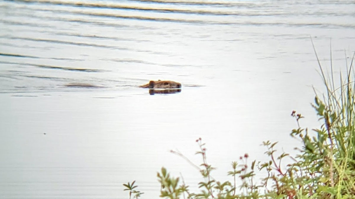
Historical data on beavers’ Arctic expansion are lacking, but tree rings are shedding light on the timeline.
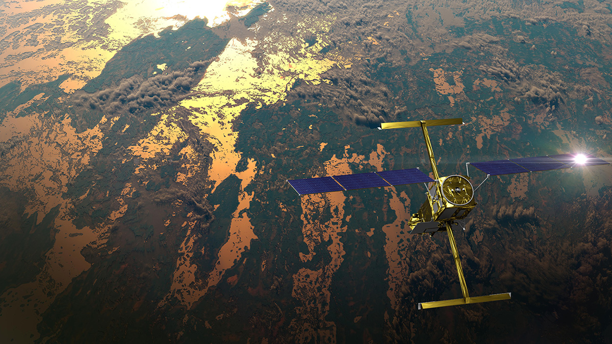
Landsat

Posted inNews
Coastlines Around the World Are Losing Sediment
A new tool maps coastal sediments on the basis of water color. It shows that 75% of the world’s coastlines may be losing suspended sediment.

Posted inScience Updates
Monitoring Polar Ice Change in the Twilight Zone
Landsat’s new extended data collection program is mapping Arctic and Antarctic regions year-round, even in polar twilight.
Posted inENGAGE, News
Major Lakes Have Suffered Major Water Losses over the Past Few Decades
A new study shows that losses are global in both arid and humid regions and could have significant impacts on a quarter of Earth’s population.

Posted inENGAGE, News
As the Arctic Warms, These Rivers Are Slowing Down
The Arctic is warming up, but instead of large rivers migrating faster, they’re actually slowing down because of shrubification.
Posted inNews
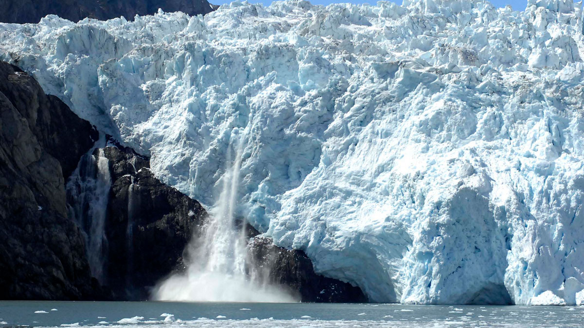
Alaskan Glaciers Advance and Retreat in Satellite Imagery
Researchers tracked 19 maritime glaciers in Kenai Fjords National Park over several decades and found that tidewater glaciers tended to experience less ice loss than other types of glaciers.

Posted inNews
Satellites Show Magnitude of Human Influence on River Sediment Flux
Dam-building has decreased the amount of sediment transported by rivers, while land use changes have increased the amount.

Posted inNews
Satellites Reveal Slow Shift of the Entire Boreal Biome
According to a new study, warmer temperatures and high soil nitrogen levels are causing Earth’s largest land biome to advance northward.

Posted inNews
Una nueva herramienta crea rápida y gratuitamente mapas de inundaciones para el sur global
Un nuevo programa en línea puede trazar rápidamente los contornos de inundaciones pasadas, permitiendo que los países con escasez de datos se preparen para futuros desastres.

Posted inNews
New Tool Crafts Fast, Free Flood Maps for the Global South
A new online program can quickly map the outlines of past floods, allowing data-scarce countries to prepare for future disasters.