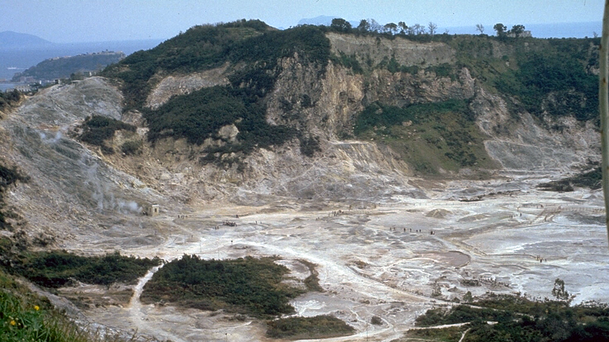
A multidisciplinary synthesis of the Campi Flegrei, Italy volcanic setting highlights the importance of sub-caldera layering for magma dynamics.
Natural hazards
Posted inResearch & Developments
Weather Alert Translations on Hold Until Further Notice
This month, the National Weather Service (NWS) announced that, until further notice, it will no longer be offering automated translation services for its severe weather alerts. These alerts warn U.S. residents about imminent dangers including thunderstorms, tropical cyclones, flooding, and extreme heat.
Posted inNews
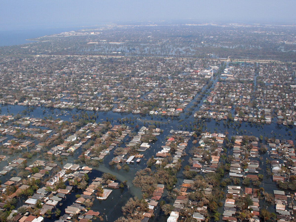
An Atmospheric River Exacerbated Türkiye’s 2023 Earthquake Crisis
A new study reveals how an atmospheric river led to more devastation after two earthquakes hit Türkiye and Syria, highlighting the need for better risk assessment models.
Posted inNews
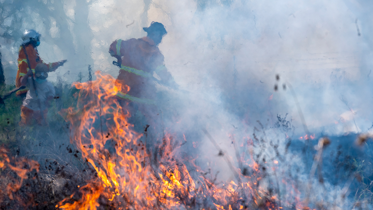
¿Seis mil años de quema controlada arruinados?
Al alterar prácticas milenarias de gestión del fuego, la colonización creó una situación mortal en los bosques australianos, pero aún no se sabe hasta qué punto se extendió la “quema cultural”.

Posted inNews
Six Thousand Years of Controlled Burning, Up in Smoke?
By disrupting millennia-old fire management practices, colonization created a deadly situation in Australian forests, but the jury is out on just how widespread “cultural burning” was.

Posted inNews
A New Tornado Database Helps Researchers Worldwide
Thanks to unique geography and atmospheric conditions, the United States is a tornado hot spot, but these deadly whirlwinds also hit Africa, Asia, and Latin America.

Posted inResearch Spotlights
Antarctic Ice Melt May Fuel Eruptions of Hidden Volcanoes
More than 100 volcanoes lurk beneath the surface in Antarctica. Ice sheet melt could set them off.

Posted inNews
Improving Earthquake Early Warning Access for the Deaf Community
Earthquake early warning systems are rarely accessible to people who are deaf or hard of hearing. A group of scientists is working to change that.
Posted inNews
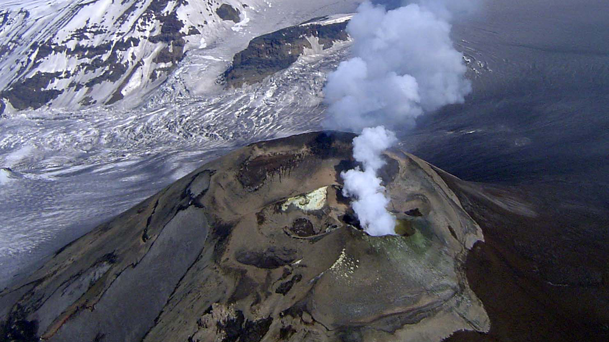
Alaska’s Mount Veniaminof Volcano Is Stealthy—Here’s Why
New research explains why Mount Veniaminof erupts without the usual warming signs.

Posted inNews
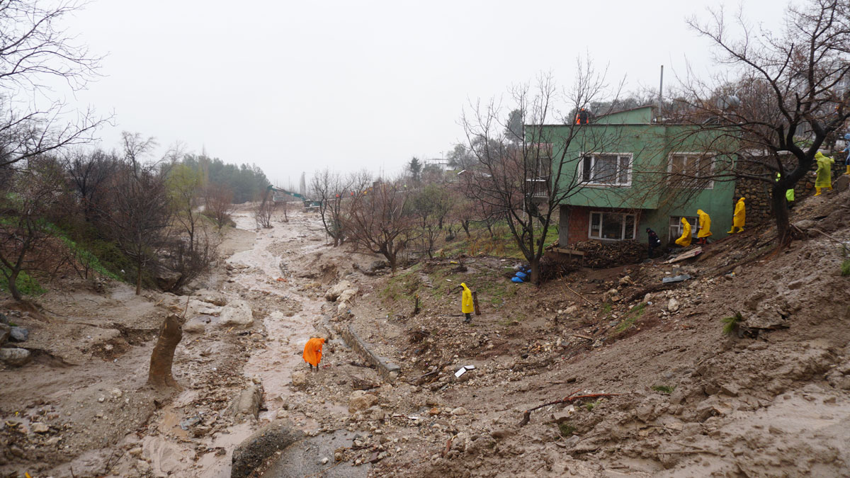
Climate Change Amplified the Effects of Extreme Rainfall in Nepal
A new study indicates that rapid urbanization and deforestation also contributed to devastation caused by floods and landslides in 2024.