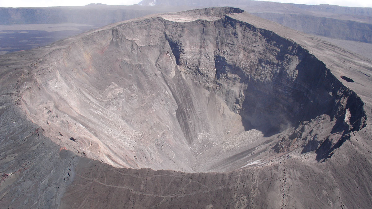
Research into the hazardous collapses of basaltic volcanoes has revealed common physical processes, but addressing remaining questions requires learning more from historical events.
Natural hazards
Posted inResearch & Developments
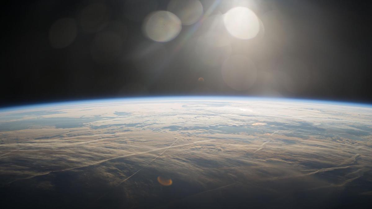
2025 State of the Climate Report: Our Planet’s Vital Signs are Crashing
A yearly analysis of climate change’s progress and effects shows a “planet on the brink” of ecological breakdown and widespread crisis and suggests that only rapid climate mitigation able to avoid the worst consequences.
Posted inResearch & Developments
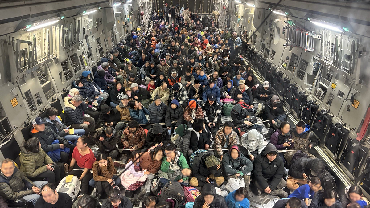
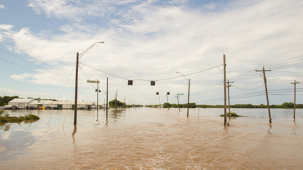
Alaska Awaits Response from FEMA in the Aftermath of Major Floods
Major floods in Alaska have caused the death of at least one person and displaced thousands more over the course of the last two weeks. Many of the displaced may not be able to return home for 18 months or longer, according to Alaska Gov. Mike Dunleavy.
Posted inEditors' Vox
When the Earth Moves: 25 Years of Probabilistic Fault Displacement Hazards
Surface ruptures causing earthquakes pose risks to infrastructure and human lives, but advances in models and data in the last few decades have improved our ability to mitigate their effects.
Posted inResearch Spotlights
New 3D Model Reveals Geophysical Structures Beneath Britain
Using magnetotelluric data to identify subsurface electrically conductive and resistive areas, scientists can identify underground features and predict how space weather may affect infrastructure.

Posted inResearch Spotlights
Científicos revelan los peligros ocultos del calor y las inundaciones en Texas
Una parte más amplia del “Estado de la Estrella Solitaria” podría verse afectada por más olas de calor e inundaciones de lo que sugieren registros previos.
Posted inResearch Spotlights
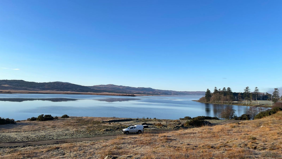
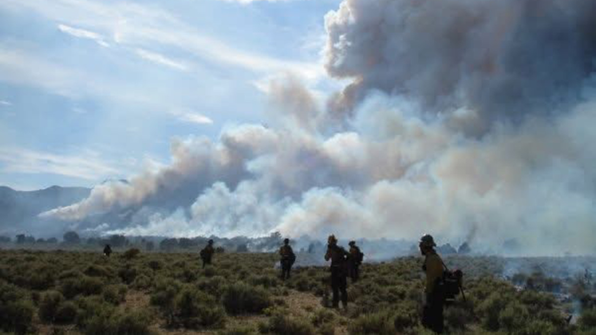
The Goldilocks Conditions for Wildfires
Twenty years of data from around the world show that areas that are not too dry and not too wet are most conducive to wildfire burning.
Posted inNews
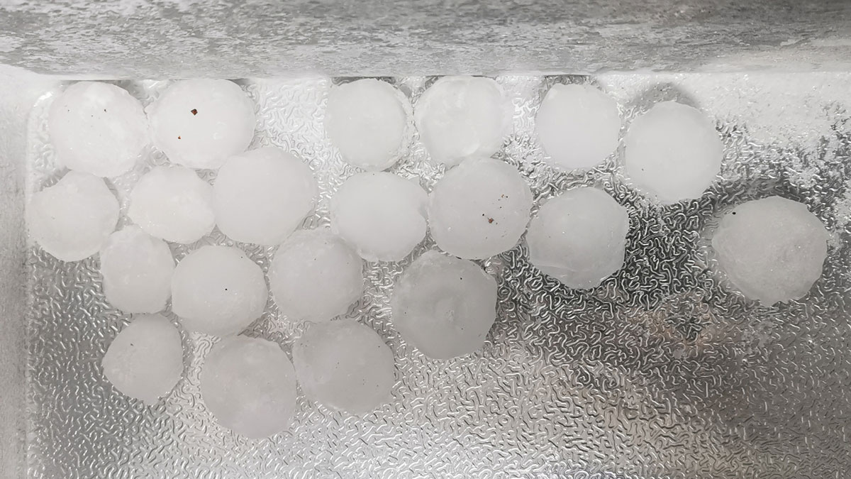
Isotopes Map Hailstones’ Paths Through Clouds
Hailstones have been said to bounce up and down through clouds as they grow. A new study found that many stones take much simpler paths.
Posted inResearch Spotlights
Scientists Reveal Hidden Heat and Flood Hazards Across Texas
A wider swath of the Lone Star State may be affected by more heat and flood events than previous recordkeeping suggests.
Posted inResearch Spotlights
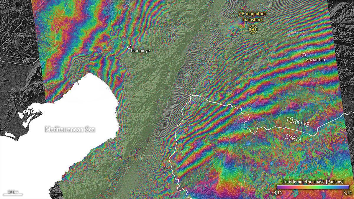
Türkiye-Syria Temblors Reveal Missing Piece in Earthquake Physics
Newly discovered aseismic events triggered by the 2023 Kahramanmaraş earthquake may represent a mode of fault slip between earthquakes and slow-slip events that researchers have long been seeking.