The Landslide Blog is written by Dave Petley, who is widely recognized as a world leader in the study and management of landslides. Over the last two weeks, I travelled with my daughter Holly through Taiwan on vacation. Loyal readers will know that in the early part of my career I spent some time in […]
Natural hazards
Posted inNews
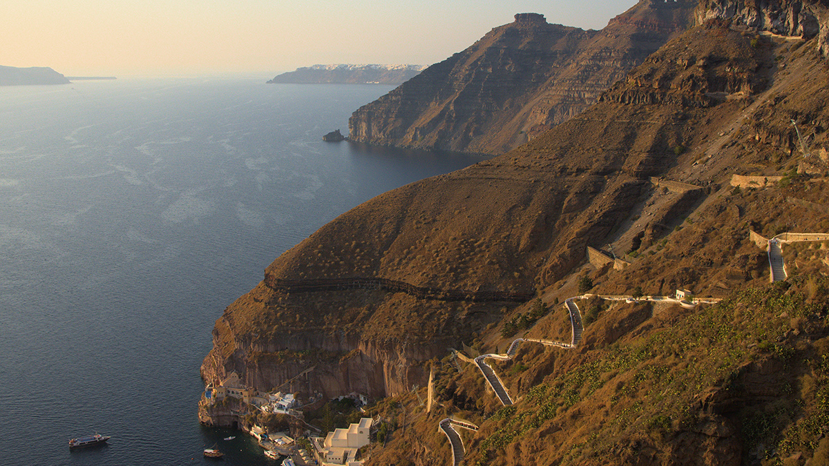
Decoding an Ancient Tsunami from the Ground Up
The seafloor around Santorini is helping scientists investigate forces behind the devastating Minoan tsunami.

Posted inNews
Where the Ground Gives Way
Sinkholes are a significant hazard, but where are they most likely to happen? A new study identifies hot spots in the contiguous United States.

Posted inFeatures
The 2023 Türkiye-Syria Earthquakes Shifted Stress in the Crust
In February, a devastating magnitude 7.8 earthquake struck the eastern Mediterranean, triggering a second major jolt and a cascade of aftershocks.

Posted inAGU News
Beyond the Wine-Dark Sea
Innovative research on hazards in the Mediterranean is helping scientists contribute to safer communities in the basin and beyond.
Posted inFeatures
Kelly Hereid: Modeling Catastrophes for Insurers
A geoscientist helps homeowners and businesses adapt to worsening wildfires, storms, and floods.

Posted inNews
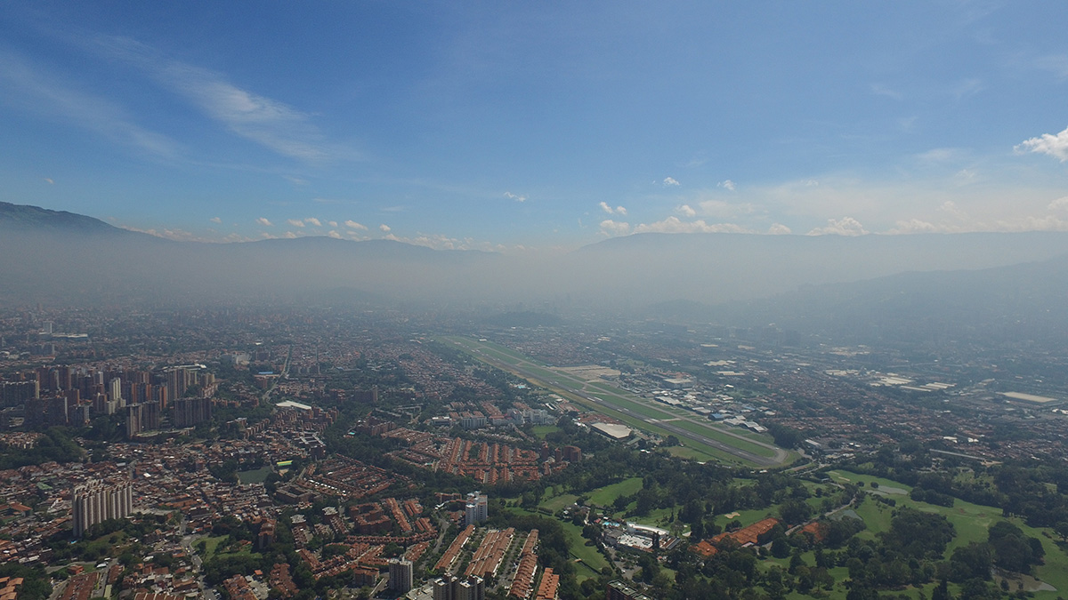
La ciudad colombiana que está abriendo el camino para las “Alertas Tempranas para Todos”
Medellín alerta a sus habitantes sobre inundaciones, deslizamientos, incendios, rayos y mala calidad del aire.
Posted inNews
Colombian City Pioneers Path to “Early Warnings for All”
Medellín alerts citizens to floods, landslides, fires, lightning, and poor air quality.

Posted inNews
Forecasting Earthquake-Induced Floods
Surface-rupturing earthquakes can abruptly reroute rivers when fault scarps function like dams. Researchers have now successfully modeled such an event that occurred in New Zealand.

Posted inNews
Ancient Victims of Vesuvius May Have Baked in a Cloud of Ash
Debate still swirls around what killed ancient Romans during the 79 CE eruption. A study of wood charred by the event suggests a brief, but searing, flow of volcanic gas and debris.