
Scientists are working together to establish a standardized international scale for measuring and reporting the intensities and impacts of earthquake shaking.
Natural hazards

Posted inScience Updates
Envisioning a Near-Surface Geophysics Center for Convergent Science
A recent effort identified how a proposed near-surface geophysics center integrating research and teaching could address critical challenges and promote community engagement and cultural change.
Posted inScience Updates
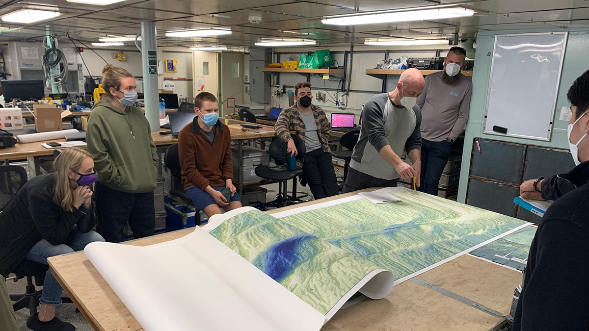
Observing a Seismic Cycle at Sea
Scientists organized a trio of expeditions to document the buildup of stress leading to a large earthquake on a seafloor fault, developing innovations for successful seagoing research in the process.

Posted inScience Updates
How Hail Hazards Are Changing Around the Mediterranean
A new method for studying hailstorms from space offers more consistent and more complete views of how and where hail forms, and how climate change might influence hail’s impacts in the future.
Posted inScience Updates
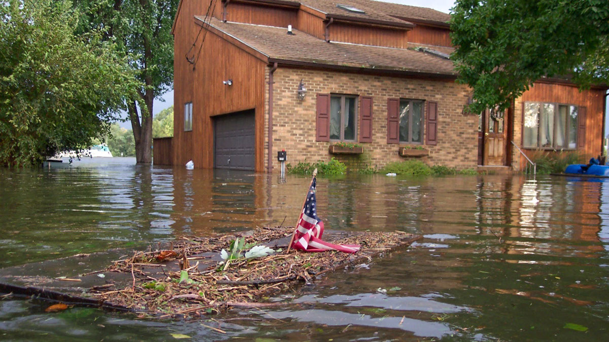
Engineering with Nature to Face Down Hurricane Hazards
Natural and engineered, nature-based structures offer promise for storm-related disaster risk reduction and flood mitigation, as long as researchers can adequately monitor and study them.

Posted inResearch Spotlights
A Better Operational Lava Flow Model
By segmenting the vertical structure of a lava flow, the Lava2d model provides more realism to operational lava forecasts.

Posted inOpinions
Converging Toward Solutions to Grand Challenges
A hypothetical, space weather–induced power grid catastrophe served as a practice case for building unity and collaborative skills among disparate communities to address a major global hazard.

Posted inResearch Spotlights
Tracking Water in the Tongan Volcano’s Massive Eruption Plume
The recent eruption of the Hunga Tonga–Hunga Ha‘apai volcano blasted sulfate aerosols and a record-breaking amount of water vapor into the stratosphere.
Posted inScience Updates
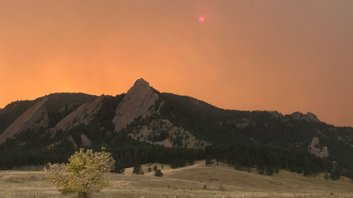
For Western Wildfires, the Immediate Past Is Prologue
A new machine learning approach trained on winter and spring climate conditions offers improved forecasts of summer fire activity across the western United States.

Posted inScience Updates
“Landslide Graveyard” Holds Clues to Long-Term Tsunami Trends
A new project looks to unearth information about and learn from ancient underwater landslides buried deep beneath the seafloor to support New Zealand’s resilience to natural hazards.