Editors’ Highlights are summaries of recent papers by AGU’s journal editors.
Source: Journal of Geophysical Research: Earth Surface
Landslides are a major hazard endured by communities living in dynamic mountainous environments, causing loss of life, injury, and considerable socio-economic disruption. Forecasting the potential locations of future landslides is an important tool in the mitigation of landslide impacts.
By relating the locations of historic, mapped landslides to the characteristics of these failed hillslopes, landslide susceptibility models have provided insight into the types of hillslopes prone to failure. If these hillslope characteristics are observed elsewhere in a landscape, then they are considered susceptible to future landsliding.
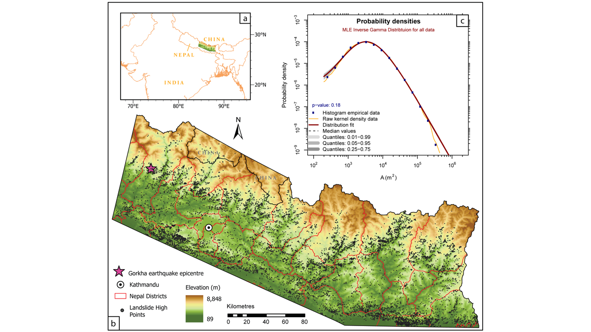
This approach, however, rests on the important assumption that the distribution of past landslides will be the same in the future. In a unique study, Jones et al. [2021] considered this assumption in detail, exploiting approximately 30 years of satellite data to assess the locations of landslides in the Nepal Himalaya. They found that landslide settings in these highly dynamic environments changed in space and through time in response to a range of landslide triggers. The effects of infrequent extreme events, including storms, floods and earthquakes, were observed to be persistent yet transient. In turn, this meant that the typical approach of using a single ‘snapshot’ of landslide locations is not always sufficient and can result in inaccurate assessment of future landslide susceptibility and hazard.
This study demonstrates that we can improve forecasts of landslide distributions by using sufficiently long datasets describing the locations of landslides triggered by a range of processes. When developing a landslide susceptibility model, history really matters.
Citation: Jones, J. N., Boulton, S. J., Bennett, G. L., Stokes, M., & Whitworth, M. R. Z. [2021]. Temporal variations in landslide distributions following extreme events: Implications for landslide susceptibility modeling. Journal of Geophysical Research: Earth Surface, 126, e2021JF006067. https://doi.org/10.1029/2021JF006067
—Matthew Brain, Associate Editor, JGR: Earth Surface