
一种新的成像技术探索了台湾南部下方复杂的俯冲碰撞过渡带。
Natural hazards
Posted inNews
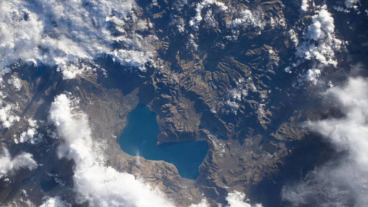
Weak Faults Play a Strong Role in the Tibetan Plateau’s Deformation
Ten years’ worth of data reveal that two theories about how the Tibetan Plateau deforms are both probably right.
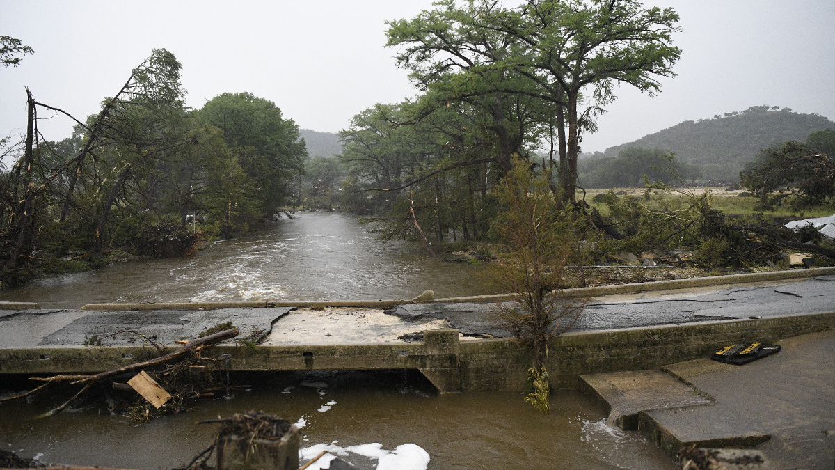
Posted inNews
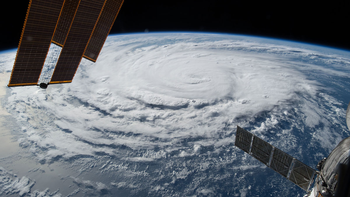
NOAA Forecasts a Below-Average Hurricane Season
A potentially record-breaking El Niño may reduce the likelihood of storms, but the agency still stressed the importance of preparedness.
Posted inNews
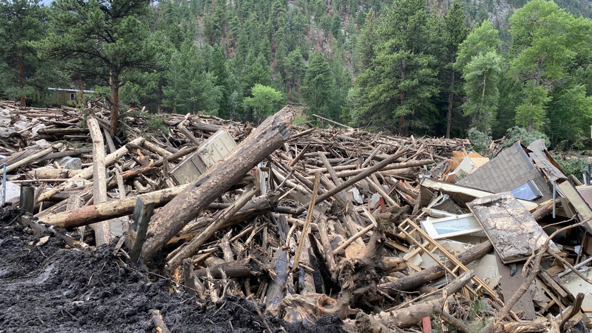
A New Approach Can Better Predict Debris Flow Hazards Years After Fires
USGS hazard maps don’t always reflect real landslide risk in the years after wildfires. Fine-tuning assessments of vegetation recovery could help.
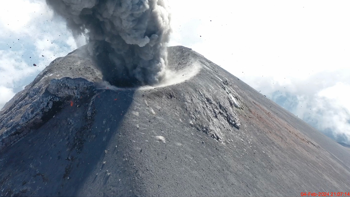
Posted inResearch Spotlights
Seismic Attenuation Techniques Reveal What Lies Beneath Taiwan
A new imaging modality explores the complex subduction‐collision transition zone below southern Taiwan.
Posted inScience Updates
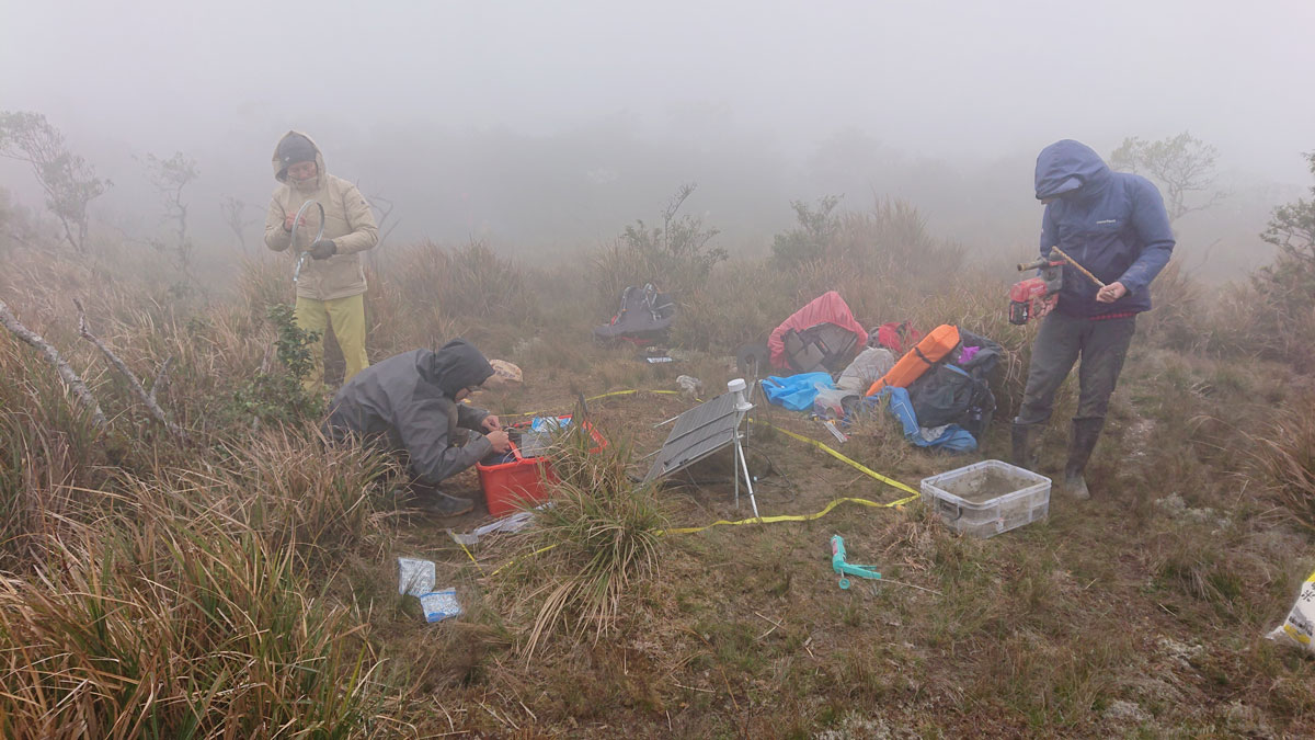
Sensing the Sounds from Earth’s Hazardous Environments
Low-cost infrasound sensors, deployed in large numbers, provide a practical means of data collection near volcanoes, earthquakes, wildfires, and other geophysical phenomena.
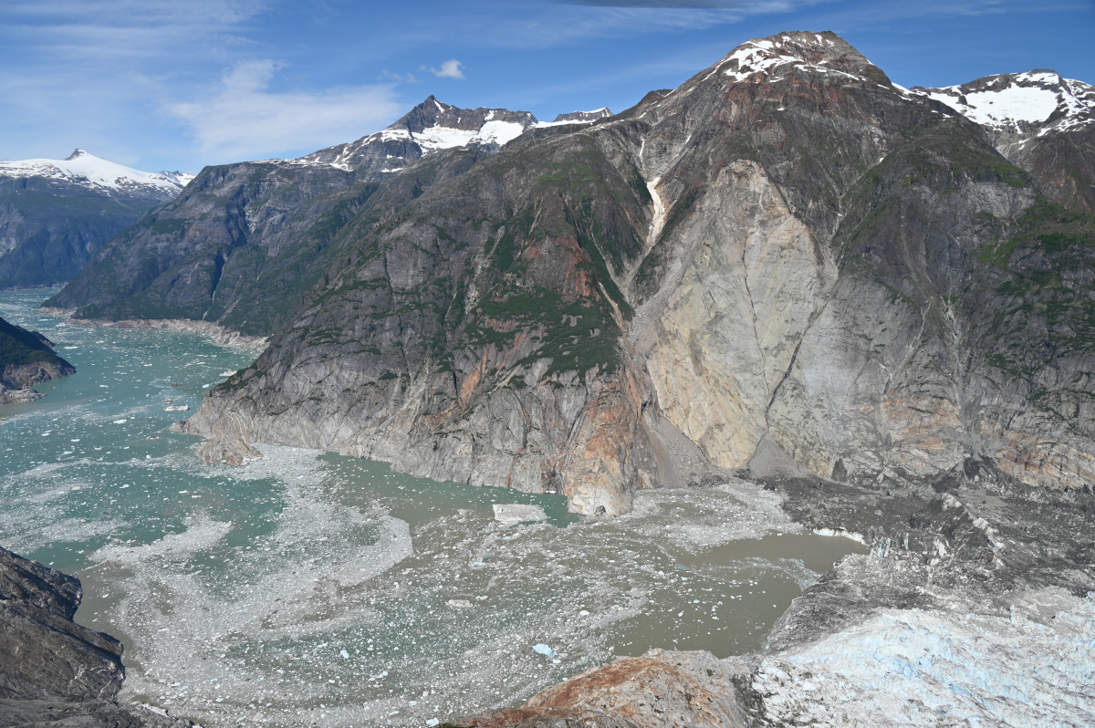
Posted inNews
The Forensics of a Skyscraper-Sized Tsunami
A landslide in Tracy Arm Fjord in Alaska created the second-largest tsunami on record. A new analysis links this abrupt event to the retreat of a glacier and, ultimately, to climate change.
Posted inNews
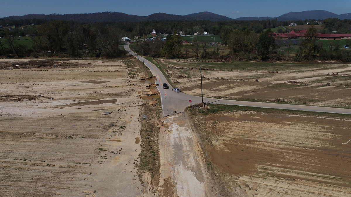
Hurricane Helene Ravaged Farmers’ Topsoil. They’re Still Fighting to Build It Back.
“We’re dirt farmers. Our primary job is to tend the dirt. That’s the basis of everything.”
Posted inEditors' Highlights
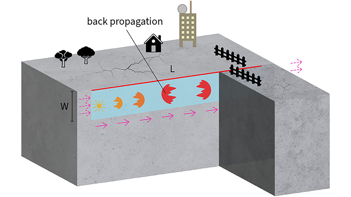
Boomerang Earthquakes Don’t Need Complex Faults
New simulations show earthquakes can reverse direction within seconds on simple, uniform faults, suggesting back-propagating subevents are more common than previously thought.
Posted inReport
The State of the Science 1 Year On: Health and Safety
The Trump administration has holistically reevaluated the government’s relationship—and how it responds to threats— to the health and welfare of its citizens.