
Extreme heat in 2023, 2024, and 2025 indicates a warming spike, a new analysis finds.
NOAA

Posted inFeatures
The Looming Data Loss That Threatens Public Safety and Prosperity
Cuts to funding and staff needed to maintain trusted datasets of reference Earth system observations could limit their availability and quality, undermining hazard predictions and risk assessments.

Posted inNews
Amid the Arctic’s Hottest Year, Arctic Science Faces a Data Deficiency
The 20th annual Arctic Report Card reveals new highs in temperature and new lows in sea ice, as well as an uncertain outlook for the availability of federal data.

Posted inResearch & Developments
Sharpiegate Scientist Takes the Helm at NOAA
Meteorologist and atmospheric scientist Neil Jacobs was confirmed as the new leader of NOAA on Tuesday evening.

Posted inResearch & Developments
Science Agencies Shuttered in Government Shutdown
At 12:01 a.m. this morning, the U.S. federal government shut down. This shutdown comes after weeks of negotiations and pressure tactics failed to bring Congressional Republicans and Democrats together on a budget for the 2026 fiscal year or a continuing resolution to fund the government for a few more weeks.
Posted inResearch & Developments
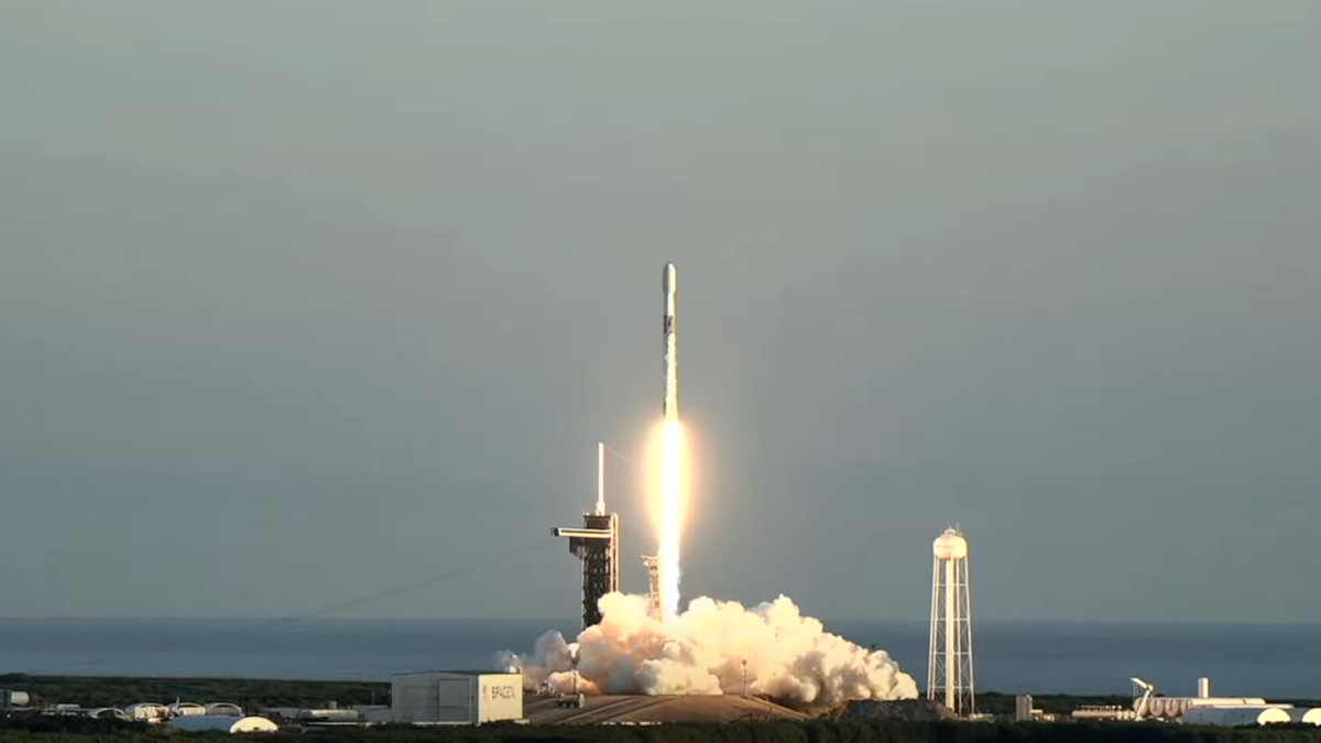
Trio of Space Weather Satellites Take Flight
These three satellites will that study the solar wind and its impacts.

Posted inNews
Cruise to Measure Gulf Dead Zone Faces Stormy Funding Future
Funding cuts are affecting The Pelican’s annual hypoxia cruise to investigate the environmental conditions off the coast of Louisiana.

Posted inFeatures
How Researchers Have Studied the Where, When, and Eye of Hurricanes Since Katrina
Twenty years after one of the country’s deadliest storms, scientists reflect on improvements in the ability to understand and predict disasters.
Posted inNews
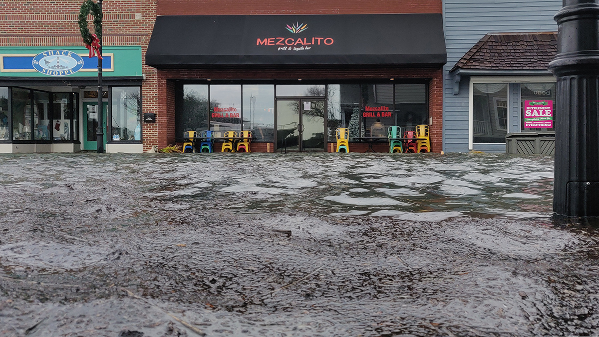
Residents Know When Floods Happen, But Data Must Catch Up
Federal flood measurements often don’t match what people see in their communities. Scientists have created a hyperlocal solution.
Posted inResearch & Developments
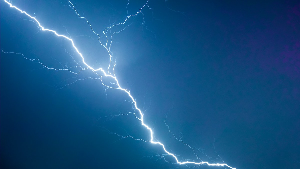
There’s a New Record for the Longest Lightning Flash
515 miles—roughly the distance from Washington, D.C. to Detroit, one-third the length of the Colorado River, and now, the longest lightning bolt ever recorded.
That’s right: A new analysis of satellite data has revealed that a 22 October 2017 storm over the U.S. Midwest created a lightning bolt that reached 829 kilometers (515 miles), from eastern Texas to nearly Kansas City. The record-setting bolt lasted about 7 seconds.