
The annual Arctic Report Card charts the rise in rain in northern latitudes and serves as a new “vital sign” of the region’s shifting climate.
NOAA
Posted inNews
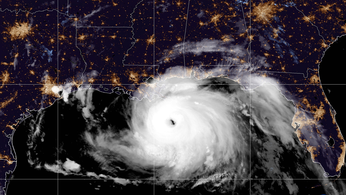
Active Hurricane Season Expected in the Atlantic Ocean
La Niña conditions and warm ocean temperatures have set the stage for another busy tropical storm year.

Posted inFeatures
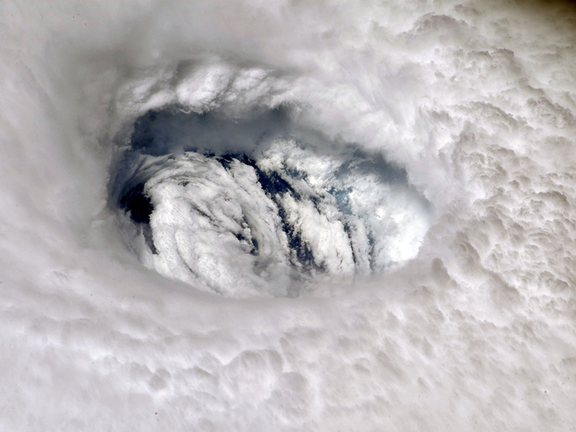
An Unprecedented View Inside a Hurricane
To improve future tropical cyclone forecasts, researchers sent a remotely operated saildrone into the extreme winds and towering waves around the eye of a category 4 hurricane.

Posted inNews
Once Extreme Ocean Temperatures Are the New Normal
A new analysis finds extreme warming events in the ocean have increased relative to the very far past, with nearly 60% of the ocean experiencing extreme heat in 2019.
Posted inNews
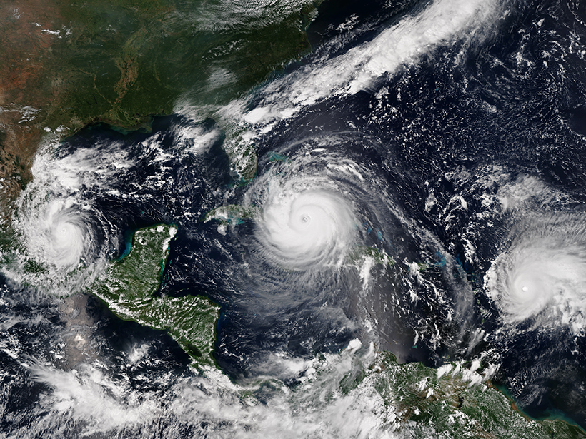
Your Summer Outlook: Cloudy with an Above-Normal Chance of Hurricanes
Get ready for another above-average hurricane season, but it likely won’t be as busy as last year.

Posted inEditors' Vox
Introducing the New Editor in Chief of JAMES
Find out about the person taking the helm of AGU’s dedicated earth system modeling journal, JAMES, and his vision for the coming years.
Posted inNews
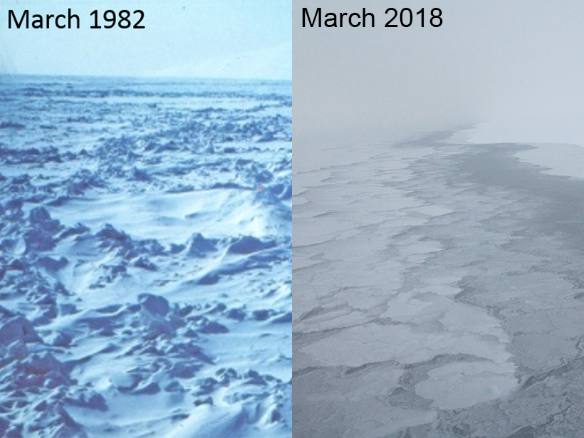
Arctic Report Card Founder Discusses the Fate of the Pole
Researcher Jackie Richter-Menge has reported on the status of the melting Arctic for the past 15 years. Her observations tell a story of “mind-blowing change.”

Posted inNews
How Infrastructure Standards Miss the Mark on Snowmelt
Nationwide, civil engineers consider precipitation values from NOAA to design their structures. But those values are missing another contributor to flood risk: snowmelt.
Posted inNews
NOAA Predicts Busy Hurricane Season
FEMA issued new guidance yesterday advising states to prepare for evacuations during the pandemic.

Posted inResearch Spotlights
Snowpack Data Sets Put to the Test
A new study compares the accuracy of three observation-based methods of calculating snow water equivalent, a key component in water management.