
Understanding Historical Changes in the Flow of the Colorado River; Boulder, Colorado, 24–25 September 2018
NOAA
Posted inNews
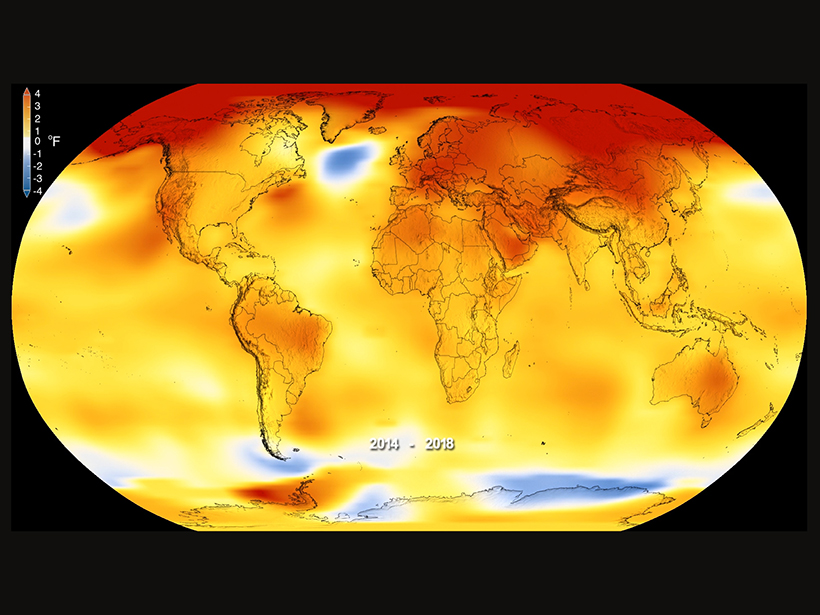
2018 Is the Fourth-Hottest Year on Record
The climate is continuing to heat up, say NASA and NOAA, and 2018 is no exception.
Posted inNews
With Shutdown Over for Now, Science Agencies Pick Up the Pieces
Agencies and employees weigh the impact of the shutdown.

Posted inNews
Arctic Undergoing Most Unprecedented Transition in Human History
The Arctic Report Card, released by the National Oceanic and Atmospheric Administration, outlines vast changes taking place in the Arctic region. Here are some major findings.

Posted inOpinions
Wireless Frequency Sharing May Impede Weather Satellite Signals
The delivery of weather satellite imagery is reliable today, but will it stay that way in the future?

Posted inScience Updates
NOAA Seeks Emerging Technologies to Further Its Mission
National Oceanic and Atmospheric Administration Emerging Technologies for Observations Workshop; College Park, Maryland, 22–23 August 2017

Posted inScience Updates
Interactive Online Maps Make Satellite Ocean Data Accessible
A new online resource from the National Oceanic and Atmospheric Administration provides an interactive view of global satellite ocean color and true-color imagery.
Posted inNews
Federal Spending Act Boosts Funding for Many Science Agencies
Congressional priorities reflected in the legislation differed sharply from the administration’s.
Posted inNews
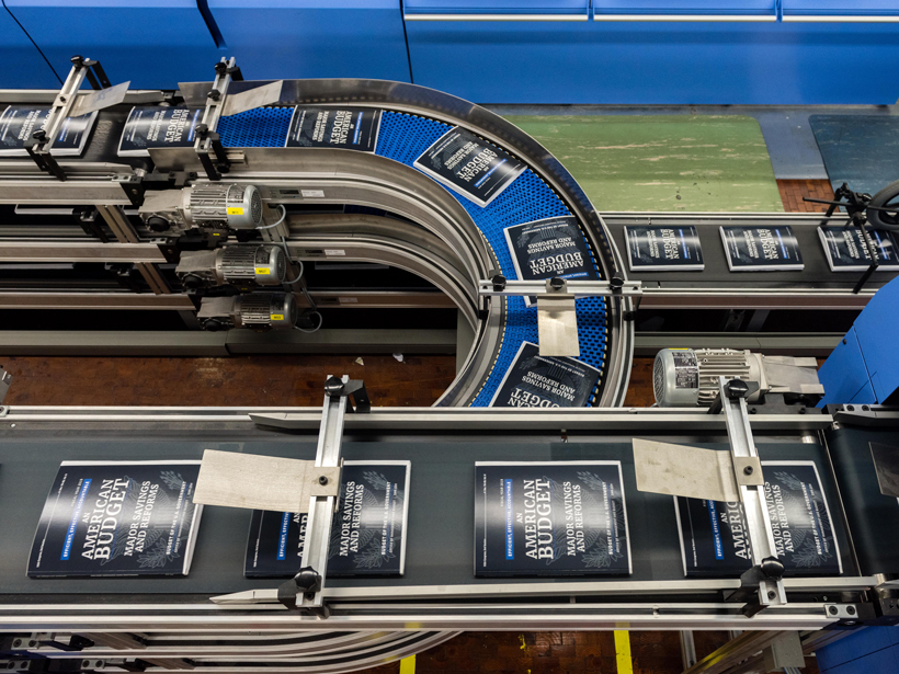
White House Budget Plan Presents a Mixed Picture for Science
The administration’s blueprint, now with Congress, would spare some geoscience agencies because of a budget deal reached with Congress last week, but EPA, NOAA, and USGS would be hit hard.

Posted inNews
Global Average Temperatures in 2017 Continued Upward Trend
Even when the warming from El Niño is removed, 2017 ranks among the hottest years on record.