Scientists at the National Oceanic and Atmospheric Administration (NOAA) got a Valentine’s Day surprise from their newest satellite sweetheart. As storms raged along Texas’s Gulf Coast on 14 February, NOAA’s GOES-16 satellite snapped pictures of the lightning from 36,000 kilometers above using its one-of-a-kind Geostationary Lightning Mapper (GLM).
New color-enhanced images stitched together in the video below simulate what lightning flashes would look like to a human’s eye from above the Texas Valentine’s Day storms.
The GLM is the only geostationary lightning mapper in orbit (geostationary means that the satellite orbits Earth at the same speed as Earth is rotating, so it stays in one spot). The instrument surveys the entire Western Hemisphere, snapping pictures every 2 milliseconds and looking for brightening clouds that indicate lightning flashes.
Lightning flashes tend to increase rapidly about 20 minutes before extreme weather like thunderstorms and tornadoes occur, Scott Rudlosky, a research scientist at the University of Maryland in College Park who works closely with the GLM data, told Eos. Continuously updated lightning data—added to other satellite data—will help scientists forecast storms and give meteorologists more time to warn communities of an incoming storm, he said.
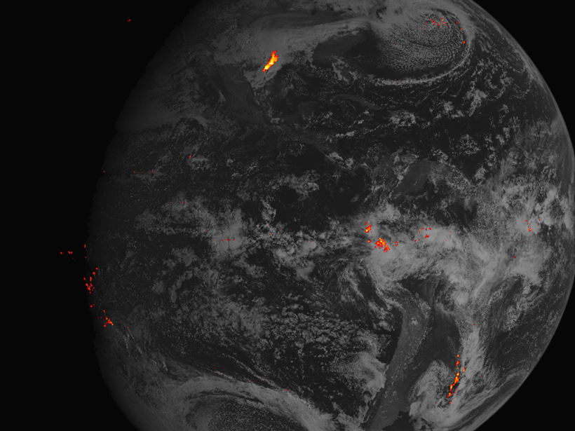
The Geostationary Lightning Mapper observes cloud-to-cloud as well as cloud-to-ground lightning flashes, giving scientists a complete profile of lightning activity.
Particularly, the GLM observes cloud-to-cloud as well as cloud-to-ground lightning flashes, giving scientists a complete profile of lightning activity, Rudlosky continued. The first several flashes before a storm tend to be cloud to cloud, “so if you’re able to see those intracloud flashes, you’re able to get a heads up that there’s potential for cloud-to-ground lightning very soon.”
Another benefit of GLM is its ability to detect not only where and when lightning strikes but also how long the lightning is in contact with the ground, Rudlosky said. This contact time feature can provide evidence of lightning-sparked wildfires. Lightning can ignite wildfires in especially dry areas like the western United States, and it’s usually “hot lightning” with a longer duration that causes these fires. Although ground-based lightning detectors do exist, they don’t generally provide information on the duration of a lightning strike, Rudlosky said.
The data are currently just observational, however, and they aren’t being applied to forecasts yet. GOES-16 scientists are still making sure that all the instruments are working correctly. In November, scientists expect the satellite to be fully operational.
—JoAnna Wendel (@JoAnnaScience), Staff Writer
Citation:
Wendel, J. (2017), GOES-16 satellite lights up lightning flashes in new video, Eos, 98, https://doi.org/10.1029/2017EO069567. Published on 09 March 2017.
Text © 2017. The authors. CC BY-NC-ND 3.0
Except where otherwise noted, images are subject to copyright. Any reuse without express permission from the copyright owner is prohibited.