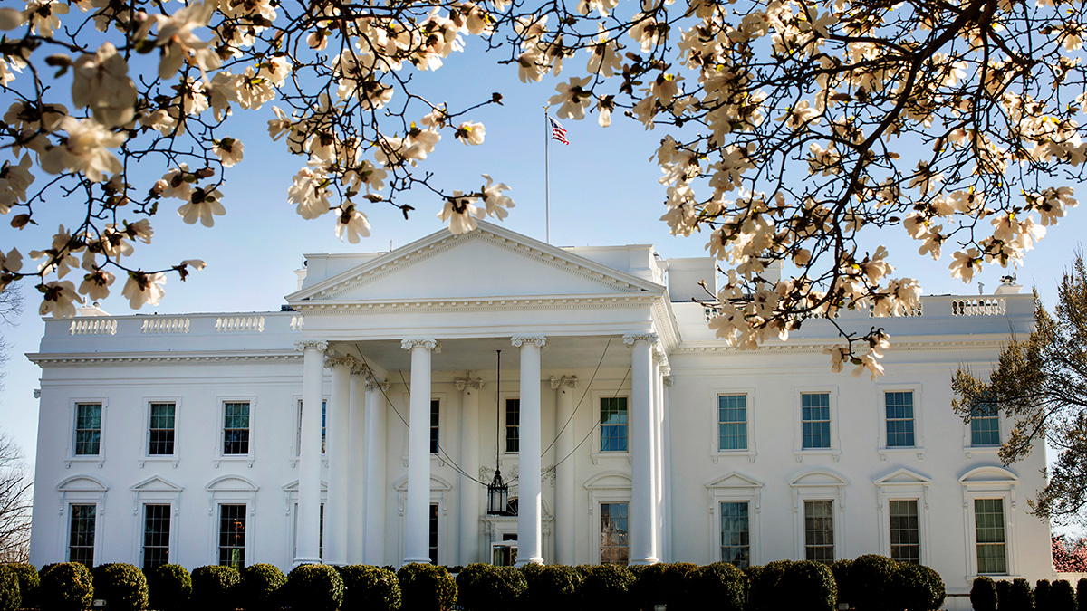
A report released this week directs the U.S. government to spark a “new golden age” of science by ushering funds toward artificial intelligence, fostering closer relationships with private industry, and dismantling and rebuilding the federal science funding process.
NOAA
Posted inResearch & Developments
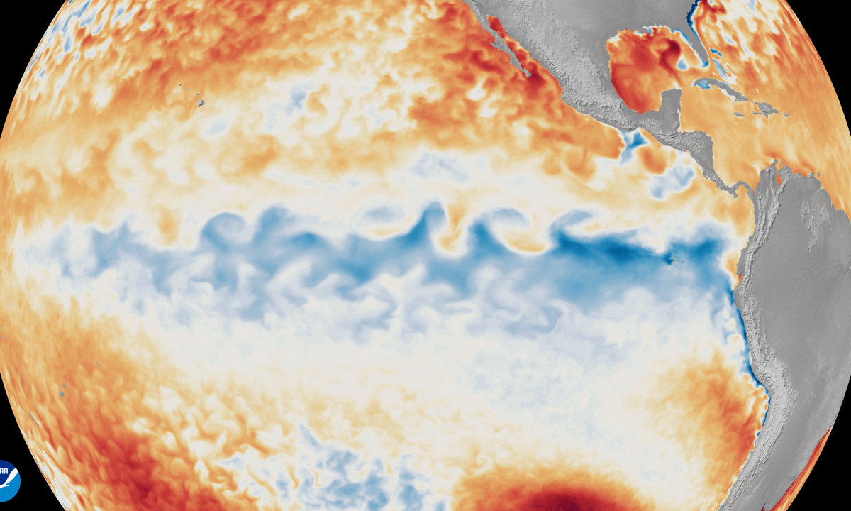
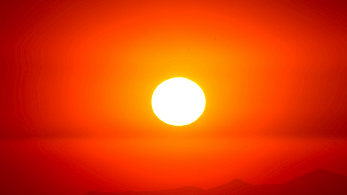
6 Ways This Year’s “Super El Niño” Could Affect Climate, Humans, and Marine Creatures
The key word here is “could.” Experts emphasize that no two El Niños are alike.
Posted inNews
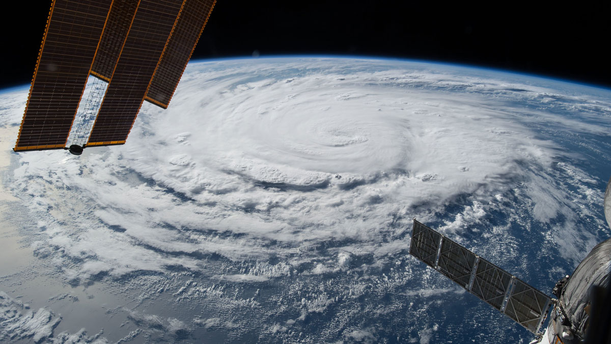
NOAA Forecasts a Below-Average Hurricane Season
A potentially record-breaking El Niño may reduce the likelihood of storms, but the agency still stressed the importance of preparedness.
Posted inResearch Spotlights
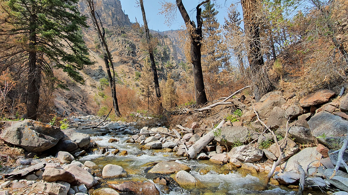
How Wildfires Worsen Flood Risk
A new approach to analyzing watersheds shows how storms occurring after a wildfire can have higher flooding risk than similar storms that occurred before a fire.
Posted inResearch & Developments
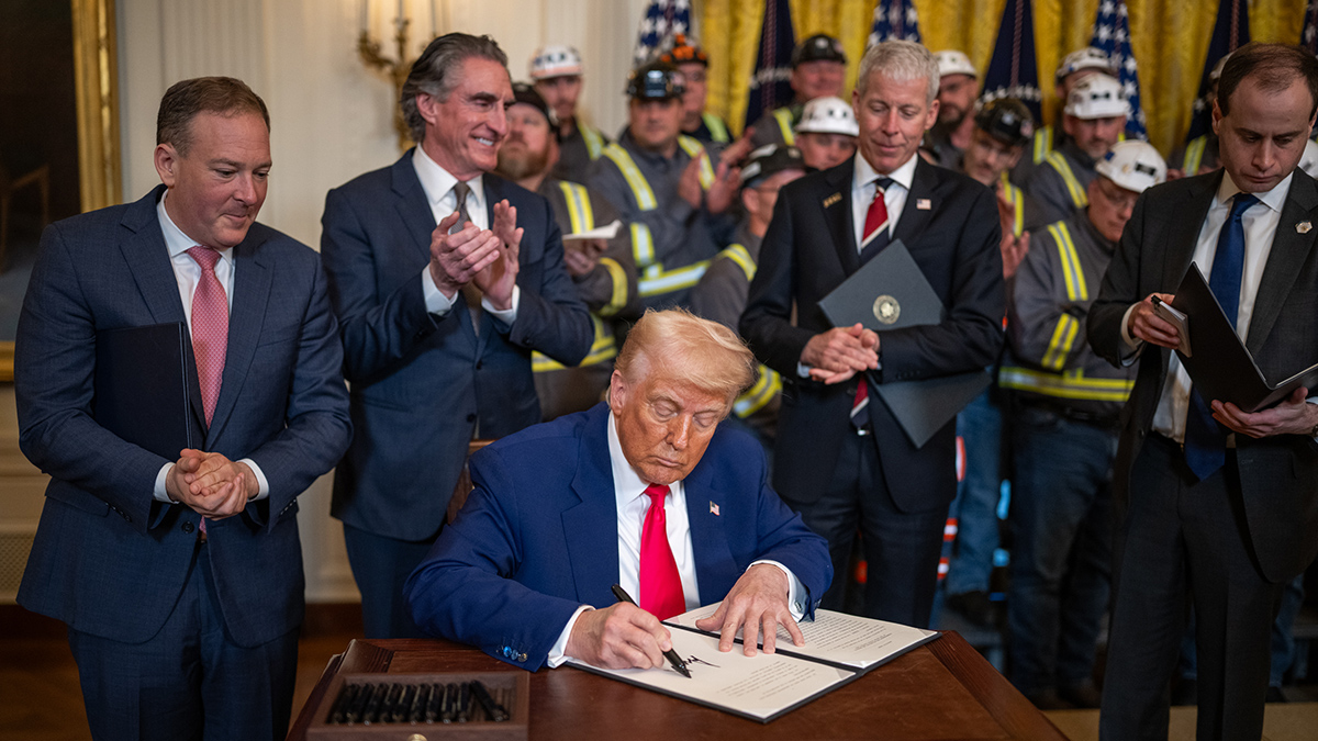
FY2027 Budget Request Slashes Billions in Science Funding
The Trump administration is requesting the cancellation of billions of dollars in funds for space science, renewable energy, carbon removal, and climate change education in its FY 2027 budget.

Posted inResearch & Developments
UCAR Sues Federal Agencies
The lawsuit alleges that the federal agencies are “waging a campaign of retaliation” against Colorado and its institutions because the state has not bowed to federal authorities.
Posted inResearch & Developments, Uncategorized
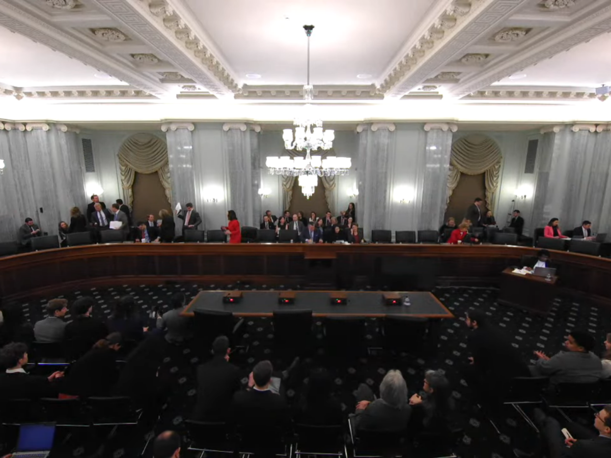
Senate Committee Approves Bill to Expand NOAA Capabilities
The markup meeting, to discuss the NASA Transition Authorization Act of 2026 and the Weather Research and Forecasting Innovation Reauthorization Act of 2026, lasted less than 20 minutes.
Posted inReport
The State of the Science 1 Year On: Climate Change and Energy
Trump’s first year in office has reversed many climate policy decisions and aggressively advanced fossil fuel interests.
Posted inReport
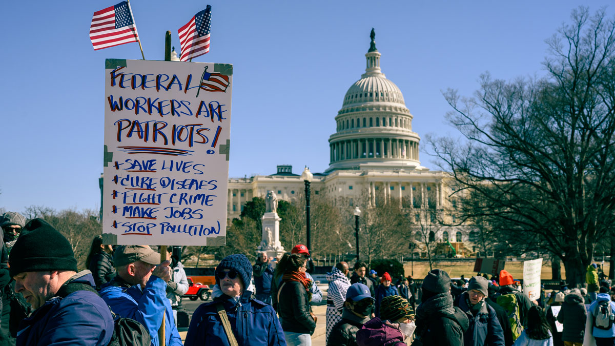
The State of the Science 1 Year On: The Federal Workforce
Thousands have left the federal workforce, and those who remain face significant uncertainty about their professional futures.
Posted inNews
The Past 3 Years Have Been the Three Hottest on Record
Extreme heat in 2023, 2024, and 2025 indicates a warming spike, a new analysis finds.