The unprecedented failure of tropical upwelling will likely affect the country’s fisheries. Scientists aren’t certain whether it will happen again next year.
Oceans
Posted inENGAGE, News
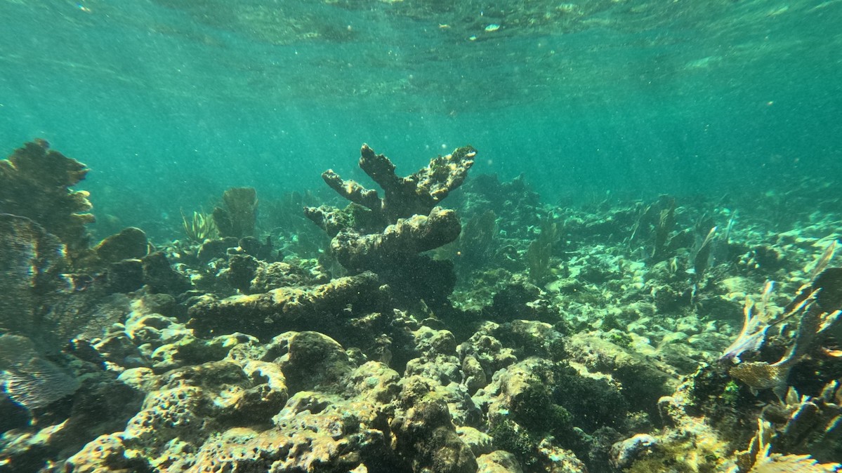
As Seas Rise, Corals Can’t Keep Up
Coral reef growth rates in the tropical western Atlantic have slowed to a fraction of what they once were, erasing coastal protection benefits they once offered.
Posted inNews
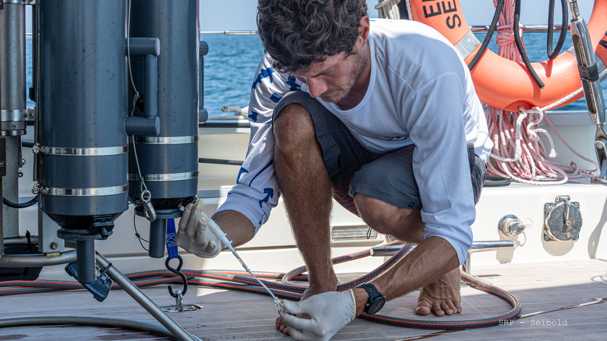
Pinpointing Sewage Seeps in Hawaii
Cesspools and septic systems, as well as coastal development, put Hawaiian coastal waters at risk of contamination.
Posted inResearch Spotlights
A Step Toward AI Modeling of the Whole Earth System
Coupling an AI-driven model of the atmosphere with a model of the ocean could help scientists create highly efficient emulations of the entire Earth system.
Posted inNews
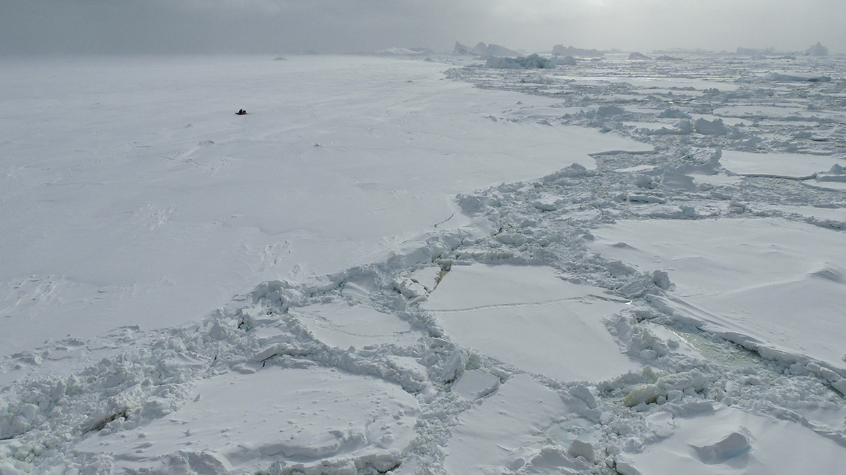
La salinidad del Océano Austral podría estar desencadenando la pérdida de hielo marino
Nuevas tecnologías satelitales han revelado que el Océano Austral se está volviendo más salino, un giro inesperado de los eventos que podría representar un gran problema para la Antártida.
Posted inResearch & Developments
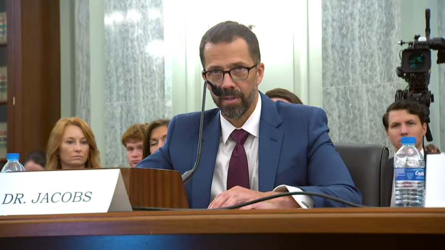
Sharpiegate Scientist Takes the Helm at NOAA
Meteorologist and atmospheric scientist Neil Jacobs was confirmed as the new leader of NOAA on Tuesday evening.
Posted inNews
Ice Diatoms Glide at Record-Low Temperatures
New observations reveal how microscopic organisms move through polar ice and illustrate how they may have evolved to thrive in extreme environments.
Posted inNews
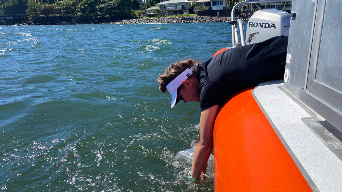
Shallow Injection Imperfectly Filters Florida Wastewater
Injection of wastewater into shallow wells is meant to filter nutrients like nitrogen and phosphorus out of the wastewater. But a new study suggests that nutrients aren’t entirely eliminated—and may be polluting coastal waters.
Posted inNews
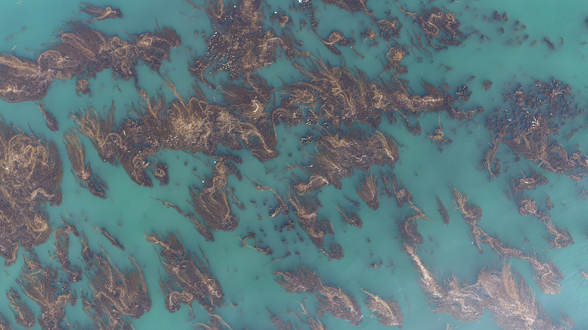
Marine Protected Areas Show Promise for Kelp Forest Recovery
Kelp forests are under increasing stress as oceans warm, but decades of satellite data have revealed the importance of maintaining fishing-restricted areas for climate resilience.
Posted inNews
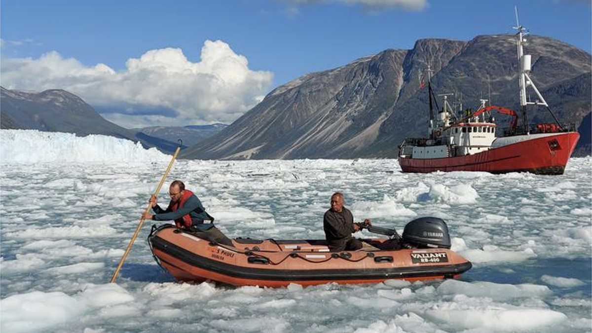
A Fiber-Optic Cable Eavesdrops on a Calving Glacier
A glass thread strung along the bottom of a fjord captured the entire process of calving, from the cracking of ice to the breakup of bergs.