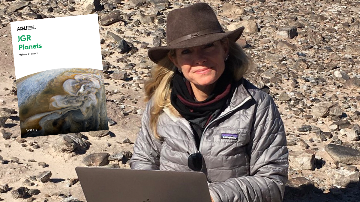
Learn about the person taking the helm of JGR: Planets and their vision for the coming years.
open science
Posted inEditors' Vox
Reflecting on 5 Years at the Helm of JGR: Planets
The outgoing Editor-in-Chief of JGR: Planets reflects on the position of planetary sciences within AGU and the dedication of the planetary science community to supporting sound and insightful science.
Posted inNews
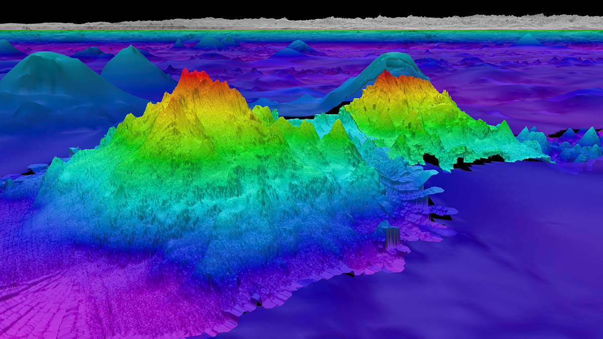
New Seafloor Map Only 25% Done, with 6 Years to Go
Beneath the waves, the vast majority of the ocean is unknown. Seabed 2030 is using cutting-edge technologies to fill in the bathymetric blanks and fully map the seafloor.

Posted inEditors' Vox
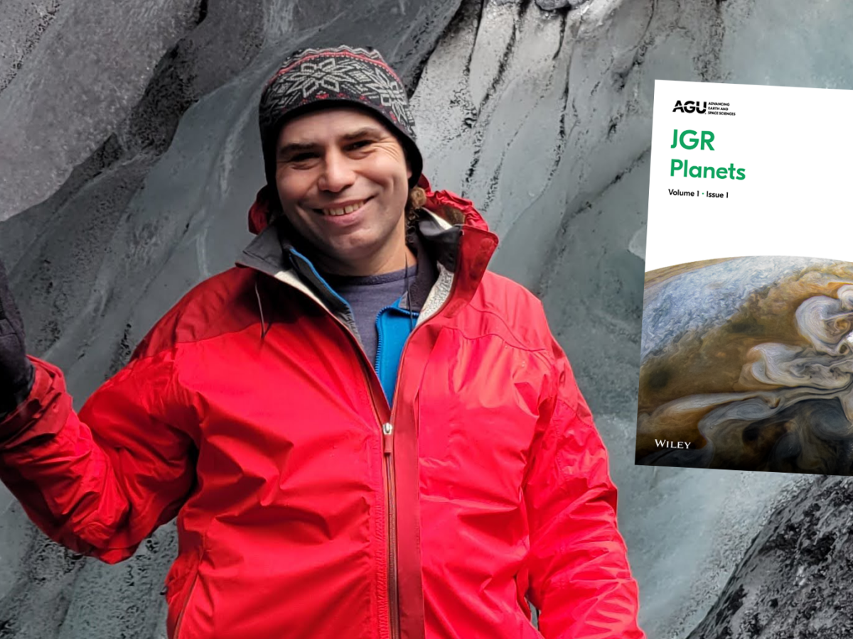
Introducing the new Editor-in-Chief of JGR: Solid Earth
Learn about the person taking the helm of JGR: Solid Earth and his vision for the coming years.


Posted inScience Updates
Un enfoque holístico de los datos hidroeléctricos
Una nueva plataforma en línea ofrece extensos datos y herramientas sobre los recursos hidroeléctricos de EE. UU., lo que permite tomar decisiones basadas en datos en el nexo energía-agua.

Posted inENGAGE, News
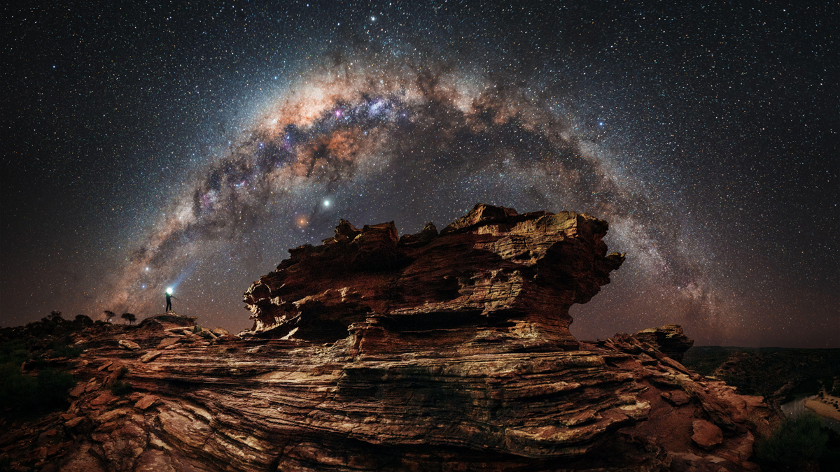
Amateur Astronomer Finds a Possible Crater on Io
The most volcanically active body in the solar system may have an impact crater, a discovery spotted by a curious nonprofessional scientist.

Posted inEditors' Vox
AGU Publications Opens Science: Making Science Accessible and Equitable
To celebrate the Year of Open Science, we highlight our efforts to make AGU journals and books more open, accessible, and inclusive.
Posted inResearch Spotlights
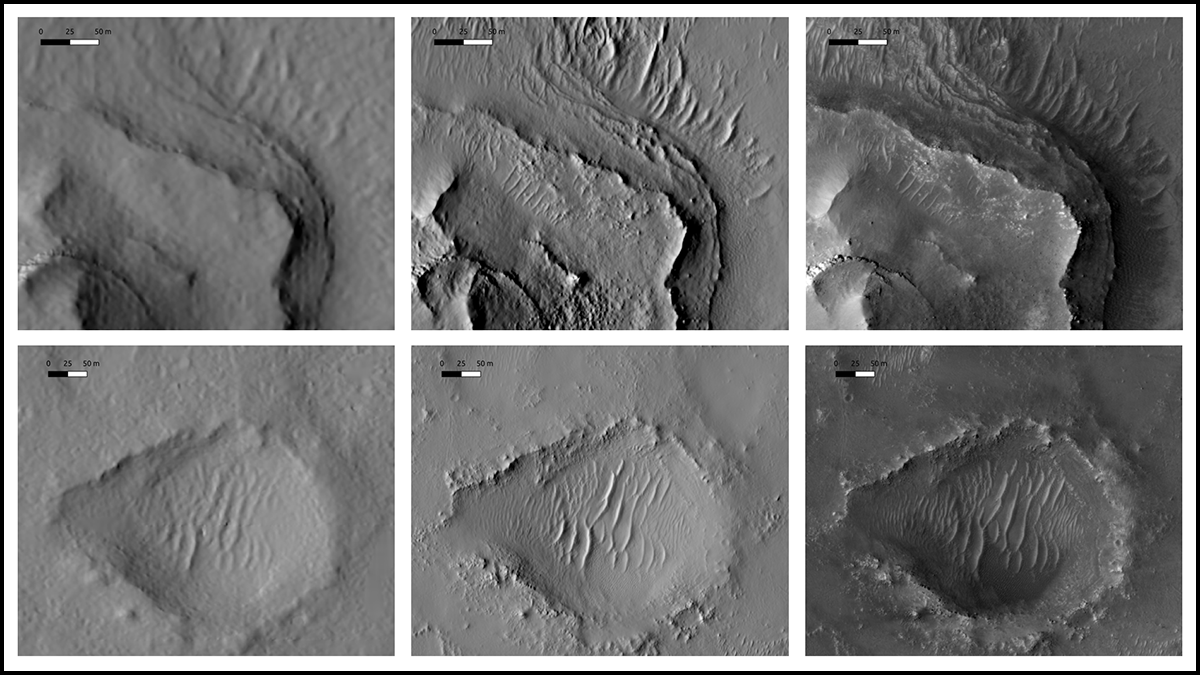
Mapping Mars: Deep Learning Could Help Identify Jezero Crater Landing Site
Researchers used new techniques to more precisely estimate ground elevations on Mars, producing a refined resolution map for rover landings.
Posted inAGU News
Wide. Open. Science.
This month, we explore how researchers are advancing and expanding the reach of Earth and space sciences.