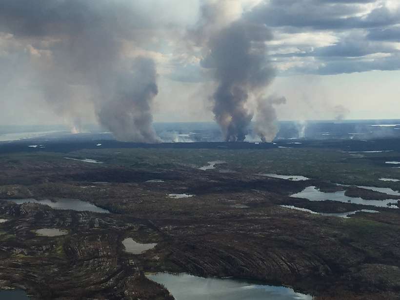
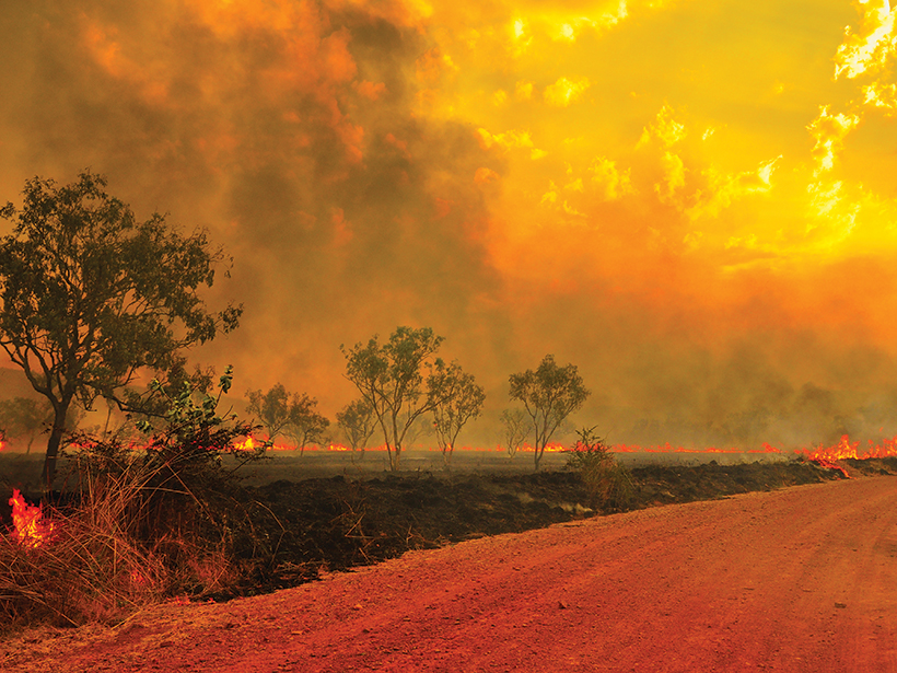
New research documents how a warming climate contributes to patterns in wildfire severity and frequency and how the fires contribute to climate change.
peat

Posted inNews
Building an Early-Career Researcher Community from the Ground Up
An international group of early-career scientists has developed its own network to virtually moor connections within the peatlands community.
Posted inEditors' Highlights
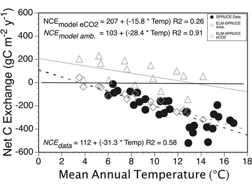
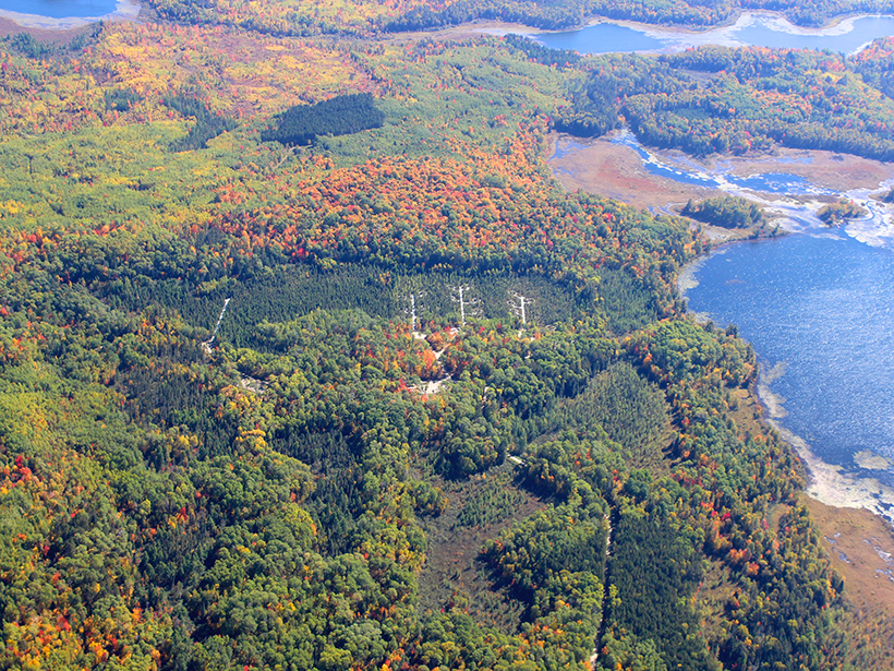
Soil Carbon May Not Remain Bogged Down in a Warmer World
Carbon was lost from an experimentally warmed boreal peatland much faster than it took to accumulate. Elevated CO2 had little effect on stored carbon, requiring re-evaluation of model assumptions.
Posted inFeatures
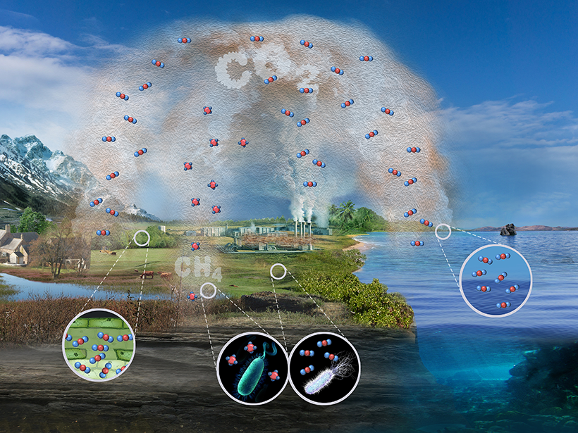
The Future of the Carbon Cycle in a Changing Climate
Surface and space-based observations, field experiments, and models all contribute to our evolving understanding of the ways that Earth’s many systems absorb and release carbon.
Posted inNews
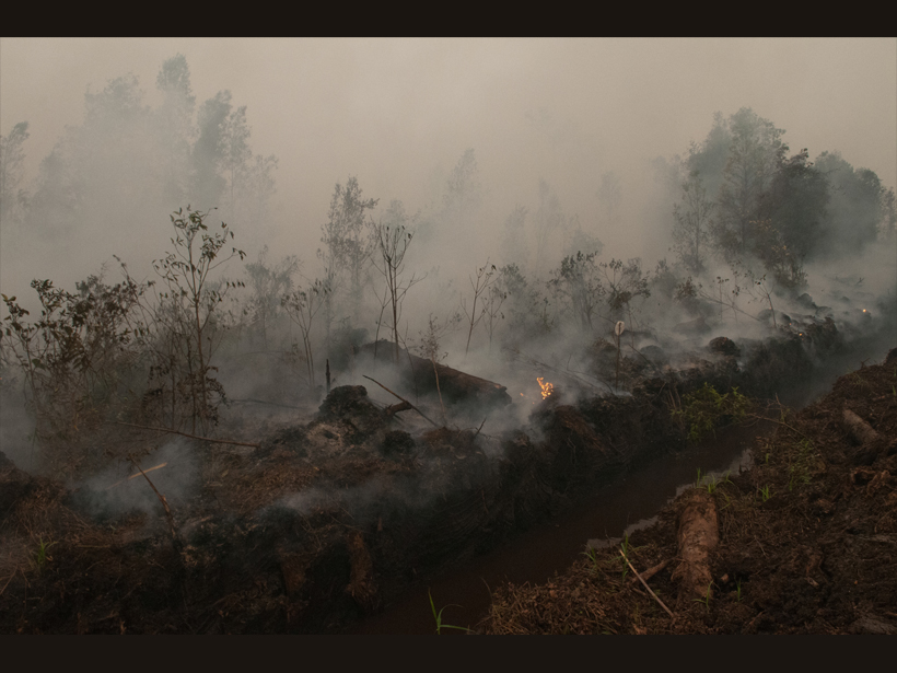
Starting (and Stopping) a Fire to Study It
Fire experiments on peatlands in Southeast Asia have identified previously unknown emissions patterns and could point to ways to detect these smoldering fires before they become too big to fight.
Posted inFeatures
Firing Up Climate Models
Scientists are working to incorporate wildfire data into climate models, resolving hindrances related to scale, speed, and the complex feedbacks between the climate and wildfire emissions.
Posted inScience Updates
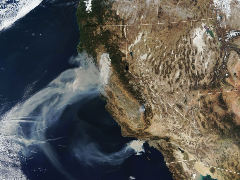
A Global Perspective on Wildfires
Satellites provide global-scale data that are invaluable in efforts to understand, monitor, and respond to wildfires and emissions, which are increasingly affecting climate and putting humans at risk.

Posted inNews
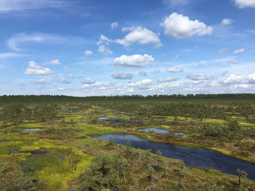
Peatlands Are Drying Out Across Europe
Peatlands are some of the world’s largest reservoirs of soil carbon, but new research finds that in Europe they are drying out, putting them at risk of turning from carbon sinks to carbon sources.
Posted inNews
Resilient Peatlands Keep Carbon Bogged Down
Boreal peatlands contain some of the world’s largest reservoirs of soil carbon, and new research suggests some peatlands may hold on to that carbon even as the climate changes.
Posted inResearch Spotlights
Depth Matters in Peat Bog Nutrient Cycling
Peatlands store around a third of Earth’s soil carbon, and a new study begins to reveal how the ecosystems’ organic matter changes with depth.