
EPA administrator Lee Zeldin announced today that the agency would kick off a review of EPA rules and redefine “waters of the United States” to ensure that the agency aligns with the 2023 Supreme Court decision Sackett v. Environmental Protection Agency (EPA), which limited the implementation of the Clean Water Act.
pollution
Posted inResearch & Developments
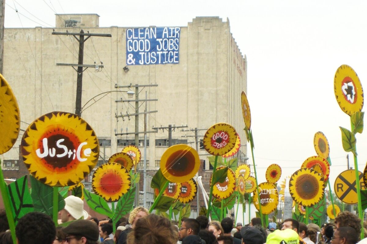
EPA Plans to Close Environmental Justice Offices, Leaving Communities to Face Pollution Alone
Yesterday, news broke that a memo from Lee Zeldin, the new administrator of the EPA, directed the agency to eliminate all offices that focus on environmental justice.

Posted inNews
Ancient Greeks and Romans Laced the Aegean with Lead
Lead pollution in and around the Aegean Sea dates back to the Bronze Age and shows a strong spike associated with Roman expansion.

Posted inThe Landslide Blog
The 18 February 2025 Tailings Storage Facility failure at Chambishi in Zambia
The Landslide Blog is written by Dave Petley, who is widely recognized as a world leader in the study and management of landslides. On 18 February 2025, a major tailings storage facility (TSF) failure occurred at a Sino Metals facility near to Chambishi in Zambia. There has been little news reporting about this failure, but […]

Posted inNews
Human Activities Might Create Temporary Atmospheres on the Moon
Outgassing could pose problems for long-term habitation of the Moon, including health hazards for astronauts, hindrances for electronics, and hampered scientific study.
Posted inResearch Spotlights
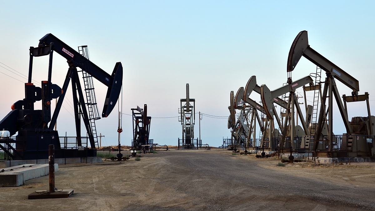
Oil, Gas, and COVID-19
Early in the pandemic, people living near oil and gas wells experienced higher rates of COVID-19 and related mortality compared with those with no exposure to well pollution.
Posted inNews
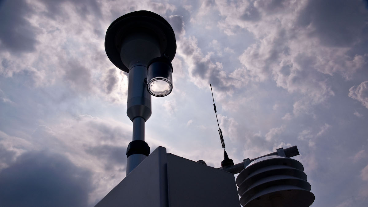
EPA Air Monitoring Network Misses 2.8 Million Americans in Pollution Hot Spots
Current EPA air monitoring may not capture the extent of particulate air pollution.
Posted inNews
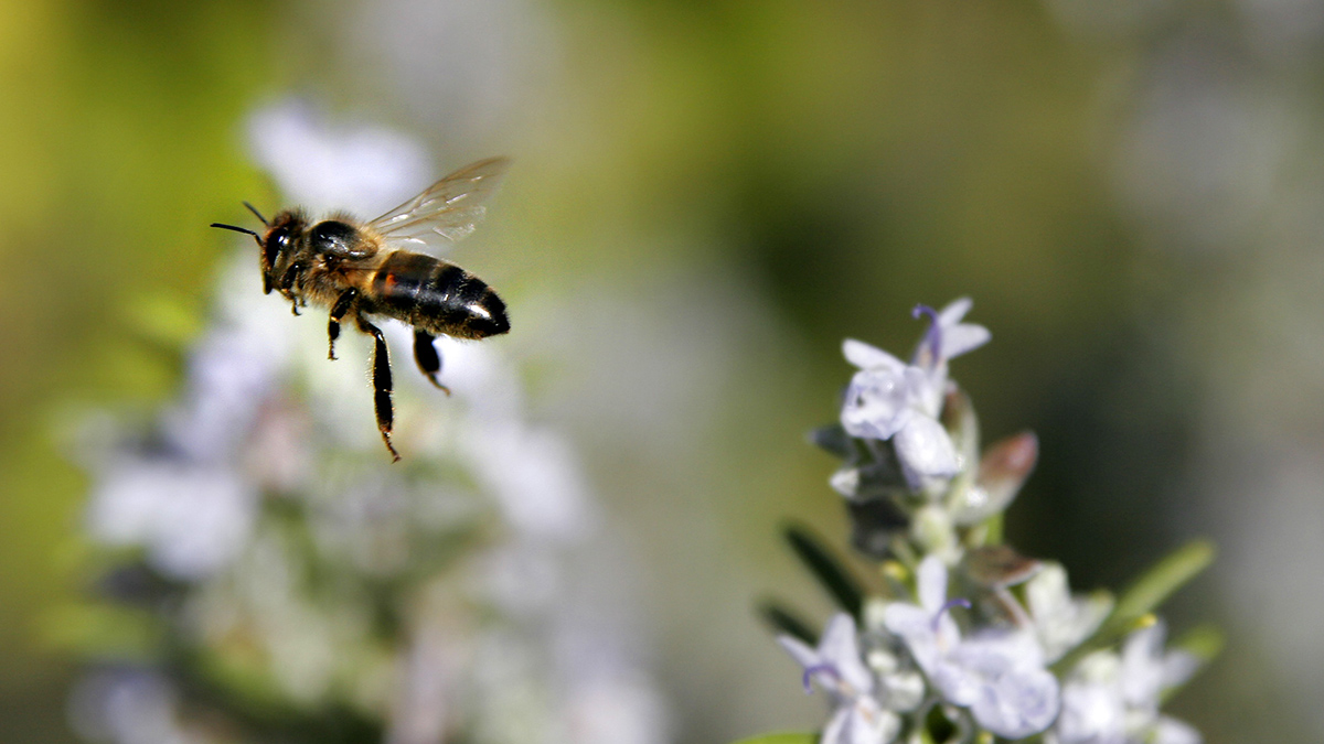
Air Pollution Could Make It Harder for Bees to Navigate
Fine particulate matter in the atmosphere reduces the degree of polarization of sunlight, which insects use to guide themselves home.
Posted inNews
Encuentran contaminación por cobre de 5,000 años de antigüedad cerca de las pirámides
Una nueva investigación geoarqueológica demuestra que la metalurgia en el antiguo Egipto provocó una importante contaminación en un puerto cercano.

Posted inNews
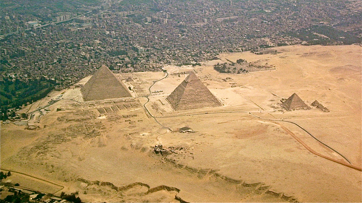
5,000-Year-Old Copper Pollution Found near the Pyramids
New geoarchaeological research shows that metalworking in ancient Egypt led to significant contamination in a nearby port.