Researchers pinpoint more than 10,000 likely transfers of catches between fishing vessels and cargo ships at sea. Knowing where these transfers occur can help officials crack down on illegal activity.
satellites
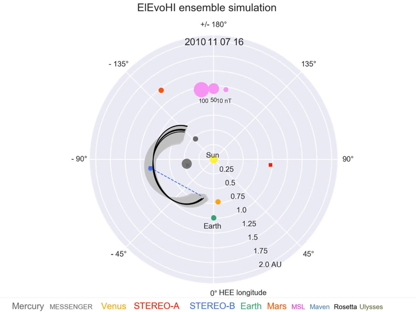
Forecasting the Threat from the Sun
Ensemble techniques are opening a path toward space weather forecasts that give deeper understanding of the risk posed by each solar storm that approaches our planet.
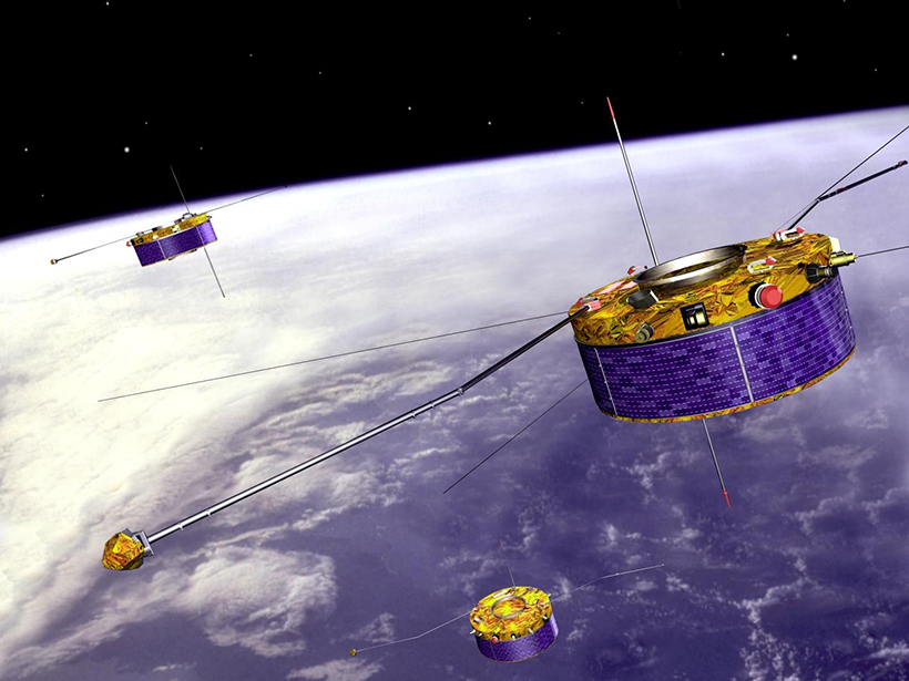
Measurements of Kelvin-Helmholtz Waves in Earth’s Magnetic Field
Simultaneous satellite observations from different distances of Earth’s magnetic tail offer insight into how these instability waves evolve through time and space.
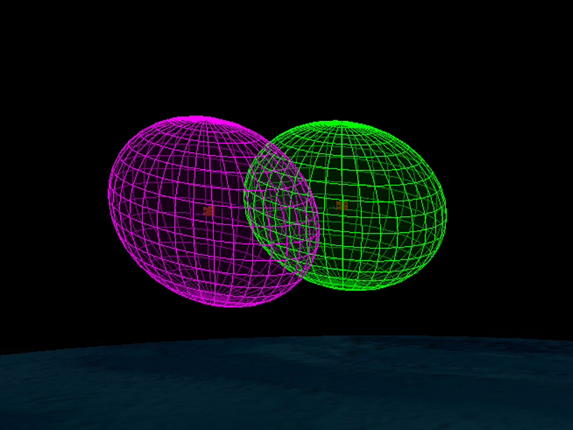
Predicting and Avoiding Collisions in Space
Solar wind drivers affecting the satellite environment have about a one hour predictive horizon, but solar wind speed periodicities and ensemble modeling can extend the forecast interval.
The Oxygen Neutral Cloud Surrounding Jupiter’s Volcanic Moon
Japan’s Hisaki satellite takes measurements of faint oxygen emissions from Io.
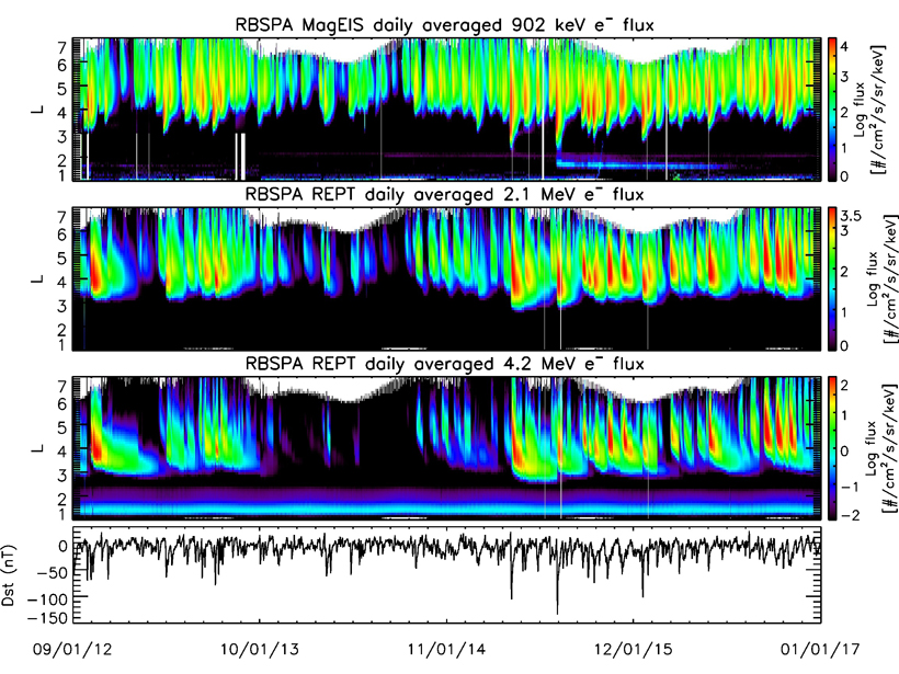
A New Angle on the Earth’s Radiation Belts
A new empirical model of energetic electrons from Van Allen Probes data includes pitch angle analysis, revealing insights about radiation belt energization and loss processes.
Understanding the Effects of Anthropogenic Space Weather
A large plasma hole generated by the vertical launch of the Formosat-5 satellite created temporary navigating and positioning errors of up to 1 meter, according to a new study.
How Space Storms Affect the Satellite Superhighway
A powerful numerical model reveals how space weather disturbs magnetic field at geosynchronous orbit.
Earth’s Radiation Belts: Celebrating Six Decades of Discovery
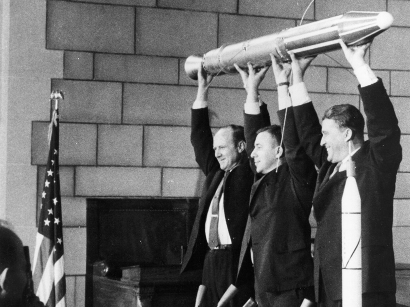
A recent celebration of the 60th anniversary of the launch of Explorer 1 reflected on the incredible progress and scientific insights from this and subsequent space missions.
Moon’s Magnetic Field May Magnetize Iron That Hits Its Surface
Scientists are using satellite data to study large impact basins on the surface of the Moon that contain magnetic anomalies.


