
By using multiple remote sensors, scientists can quickly estimate the nature and thickness of oil spills—important factors for containment efforts.
satellites

Posted inEditors' Highlights
Space Traffic Management: Better Space Weather Forecasts Needed
Better forecasts of space-weather driven changes in thermospheric density are urgently needed to ensure safe management of the rapidly growing volume of space traffic in low Earth orbit.
Posted inNews
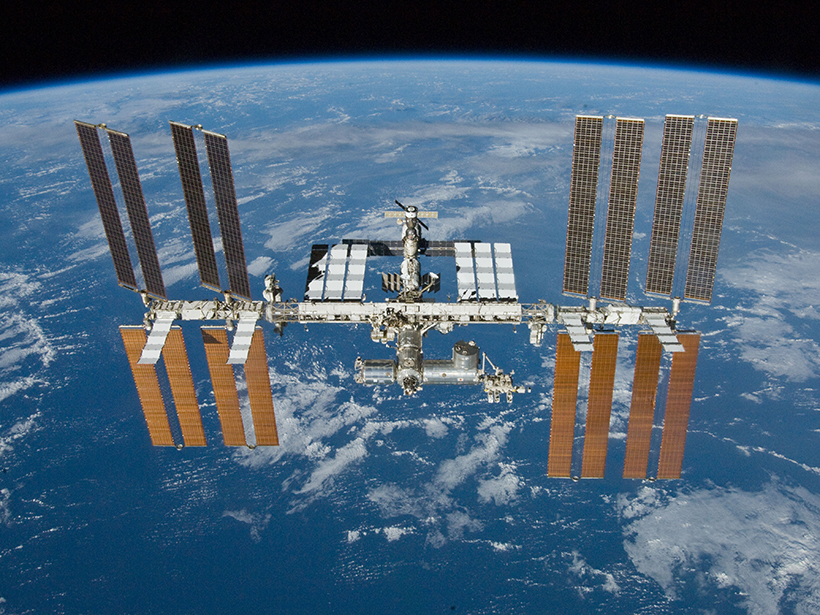
How to Launch a Satellite During a Blackout
PG&E shut down the power to Berkeley’s Space Sciences Laboratory right before a satellite launch.
Posted inScience Updates
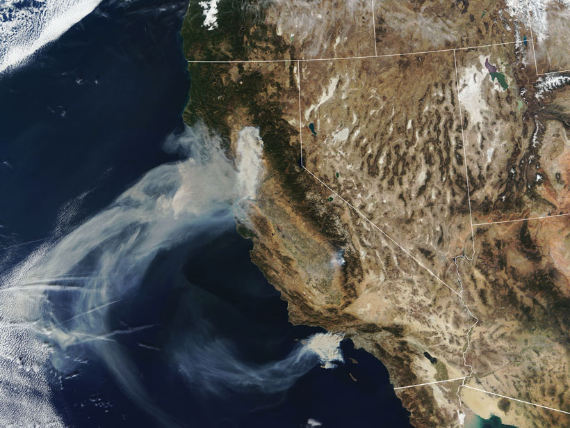
A Global Perspective on Wildfires
Satellites provide global-scale data that are invaluable in efforts to understand, monitor, and respond to wildfires and emissions, which are increasingly affecting climate and putting humans at risk.
Posted inResearch Spotlights
Atmospheric Drag Alters Satellite Orbits
A new modeling study shows how the density of the thermosphere influences the paths of satellites in low Earth orbit.
Posted inNews
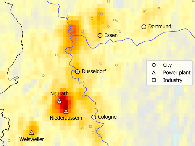
Pinpointing Emission Sources from Space
Satellite data combined with wind models bring scientists one step closer to being able to monitor air pollution from space.
Posted inFeatures
Seismic Sensors in Orbit
Navigation satellites are enabling high-precision, real-time tracking of ground displacements, supplementing traditional methods for monitoring and assessing earthquakes.
Posted inEditors' Highlights
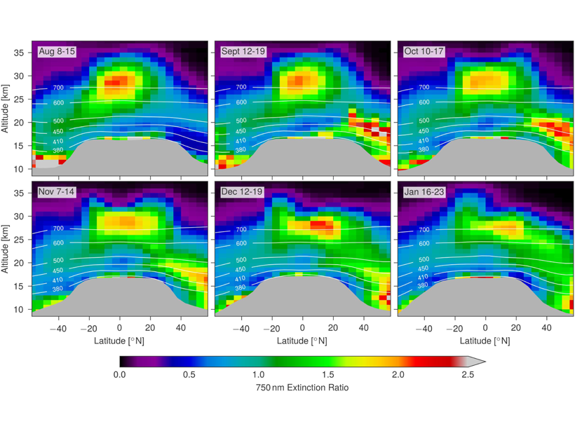
Satellite Measurements of Stratospheric Forest Fire Smoke
Intense boreal forest fires in August 2017 caused smoke plumes that reached record levels in the stratosphere; satellite measurements show that the effects rivaled a moderate volcanic eruption.
Posted inEditors' Highlights
A Closure on Sea Level Rise Budget
Terrestrial water loss may explain the lack of previous budget closure in global mean sea level rise.
Posted inScience Updates
Filling the Gaps in Ocean Maps
A new software application merges ocean color data from instruments aboard two satellites to provide gap-free, near-real-time monitoring of the global ocean environment.