
A new mission involving synchronized aircraft observations is collecting data vital for improving our understanding of how aerosol particles and clouds influence each other.
satellites
Posted inEditors' Highlights
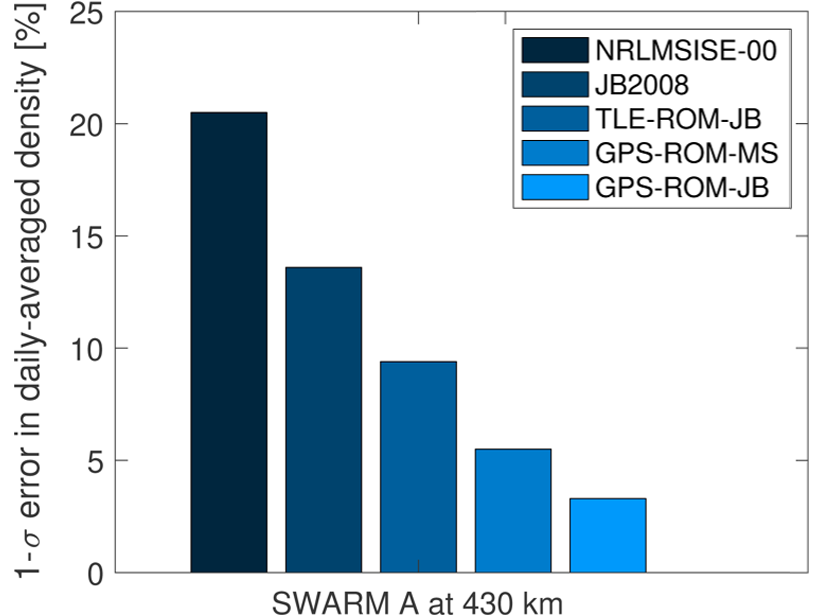
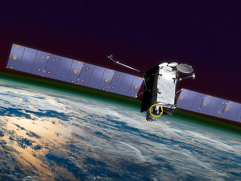
Better Thermospheric Monitoring is Vital to Space Safety
Better real-time estimates of thermospheric density are vital to the safe management of satellite traffic in Low Earth orbit, ensuring those satellites continue to deliver critical services.
Posted inScience Updates
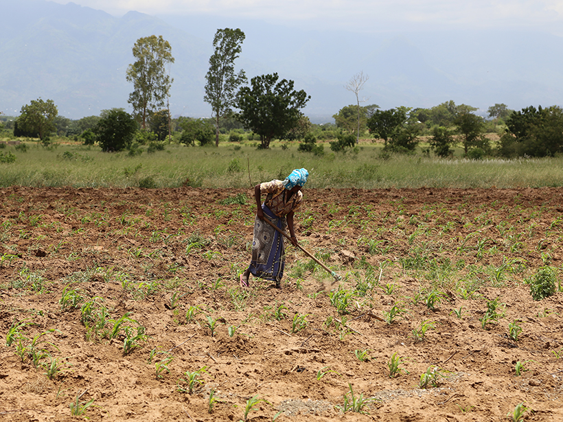
Sowing Seeds of Food Security in Africa
An innovative program focused on collaboration and capacity building is looking to improve outcomes for smallholder farmers, reduce hunger, and alleviate food insecurity in sub-Saharan Africa.

Posted inOpinions
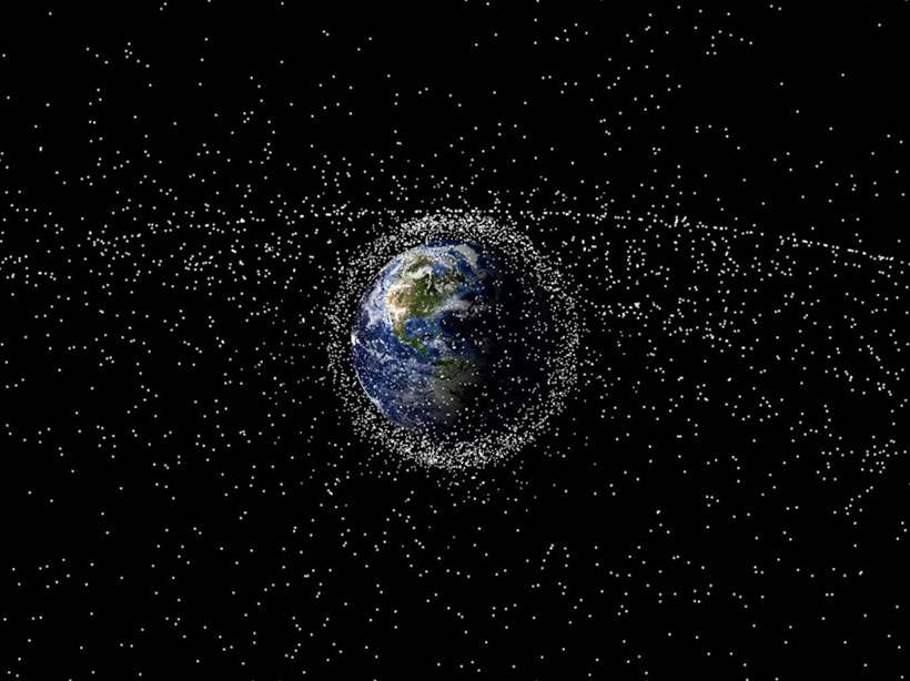
Charting Satellite Courses in a Crowded Thermosphere
As the number of satellites in low Earth orbit grows by leaps and bounds, accurate calculations of the effects of atmospheric drag on their trajectories are becoming critically important.

Posted inScience Updates
Modeling Earth’s Ever-Shifting Magnetism
The World Magnetic Model, updated every 5 years through an international collaboration, supports numerous technologies that help us find our way.

Posted inResearch Spotlights
Terrestrial Radio Signals May Suppress High-Energy Electrons
Naval radio signals may cause the formation of a barrier observed during geomagnetic storms that is seemingly impenetrable by relativistic electrons.
Posted inAGU News
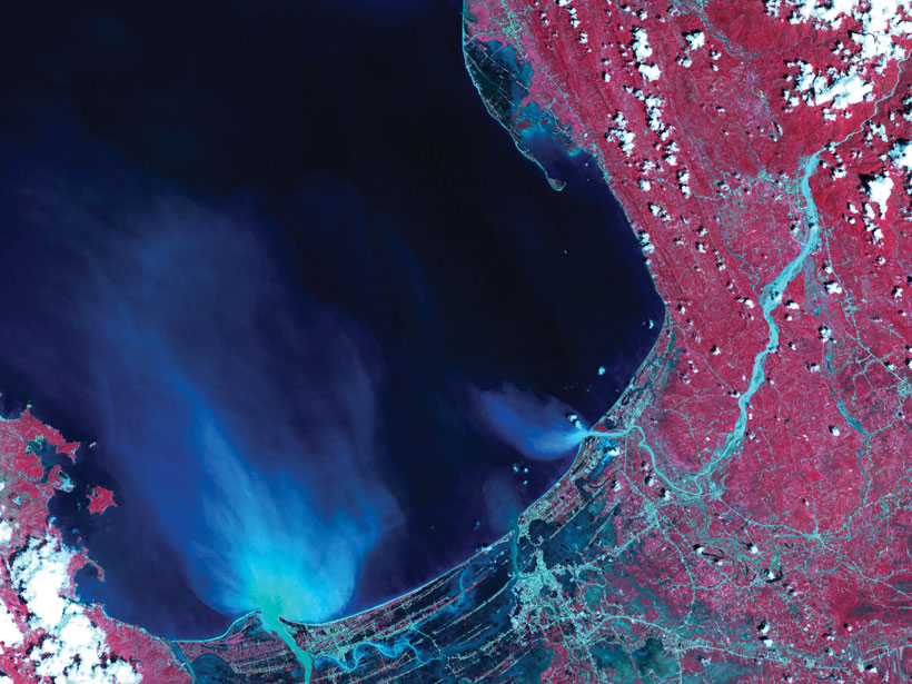
Bringing Satellite Observations Down to Earth
This month’s issue of Eos shows how scientists can sometimes get a better look at something by stepping far—much, much farther—away.
Posted inEditors' Highlights
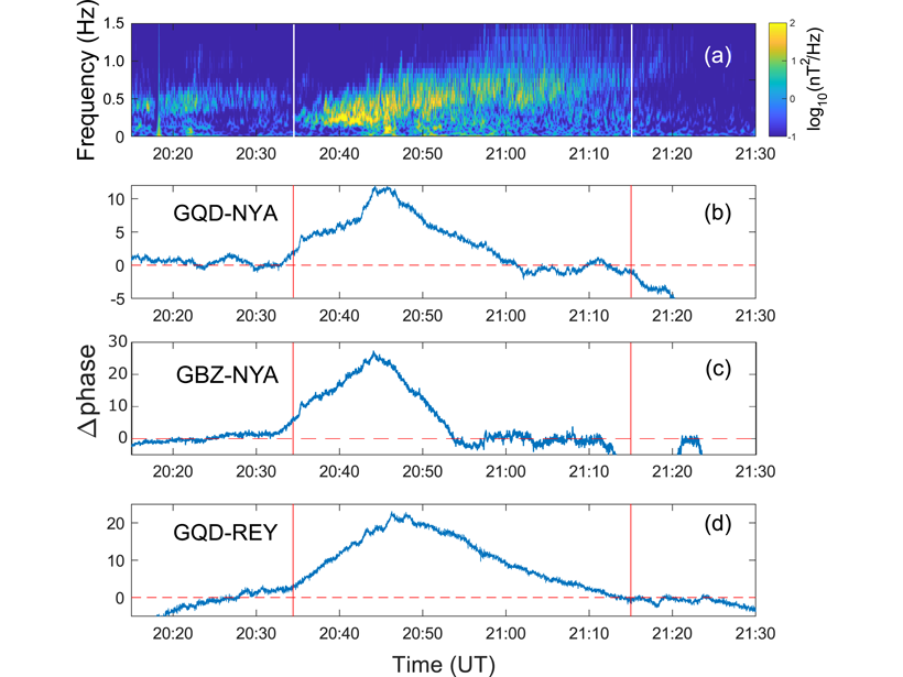
All Hands on Deck to Catch Ion Cyclotron Waves
An international armada of orbiting satellites and ground VLF network join forces to form a “magnetosphere-ionosphere observatory” to size up electromagnetic ion cyclotron waves in the magnetosphere.
Posted inResearch Spotlights
A GOLDen Way to Study Space Weather
A NASA mission is observing airglow in the upper atmosphere and uncovering what it tells us about Earth’s space weather system.
Posted inNews
Flickers of Light Help Map the Space Junkyard
Researchers are identifying space debris by measuring its flickering patterns of reflected light.