The remarkable agreement between the two techniques shows how scientists can bolster state-of-the-art gravimetry instruments with old-guard altimetry satellites.
satellites

Posted inFeatures
How Researchers Have Studied the Where, When, and Eye of Hurricanes Since Katrina
Twenty years after one of the country’s deadliest storms, scientists reflect on improvements in the ability to understand and predict disasters.
Posted inFeatures
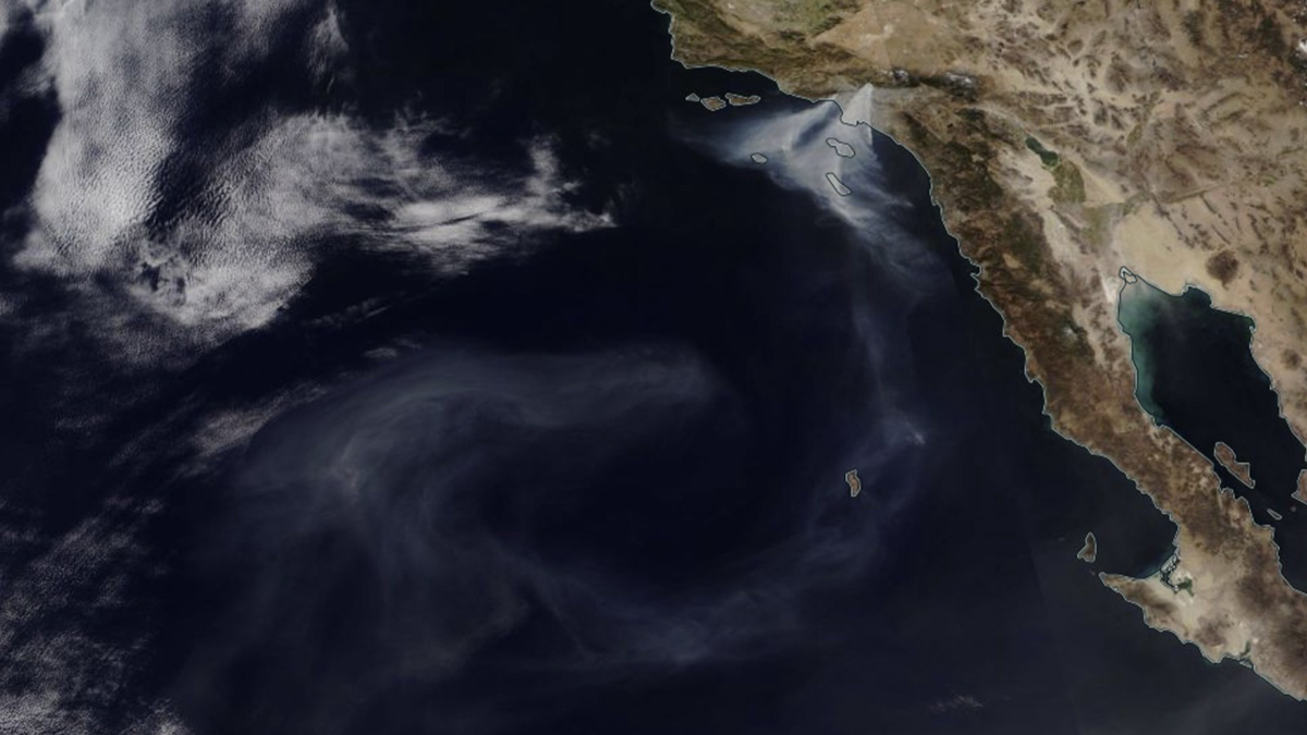
Scrambling to Study Smoke on the Water
Timely action shows the impact of urban fires on freshwater and marine ecosystems.
Posted inEditors' Highlights
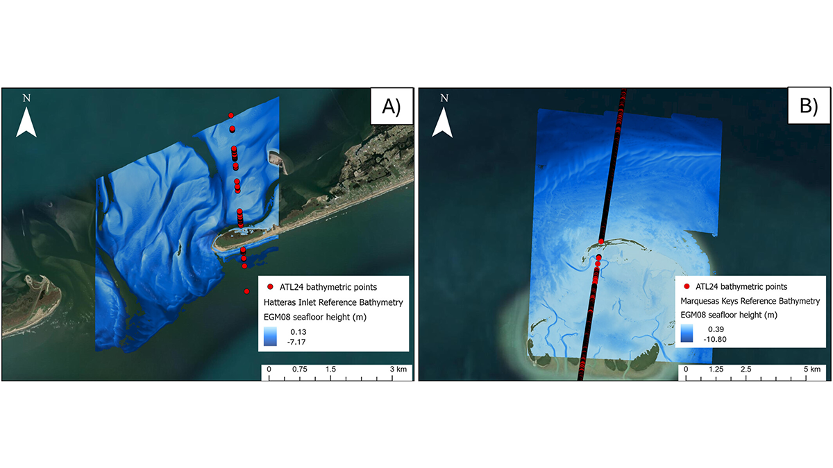
NASA Mission Creates a New Global Coastal Bathymetry Product
NASA’s Ice, Cloud, and land Elevation Satellite 2 (ICESat-2) mission recently released a new shallow water bathymetry product, which has already delivered data for 13.7 million kilometers of coastal waters.
Posted inOpinions
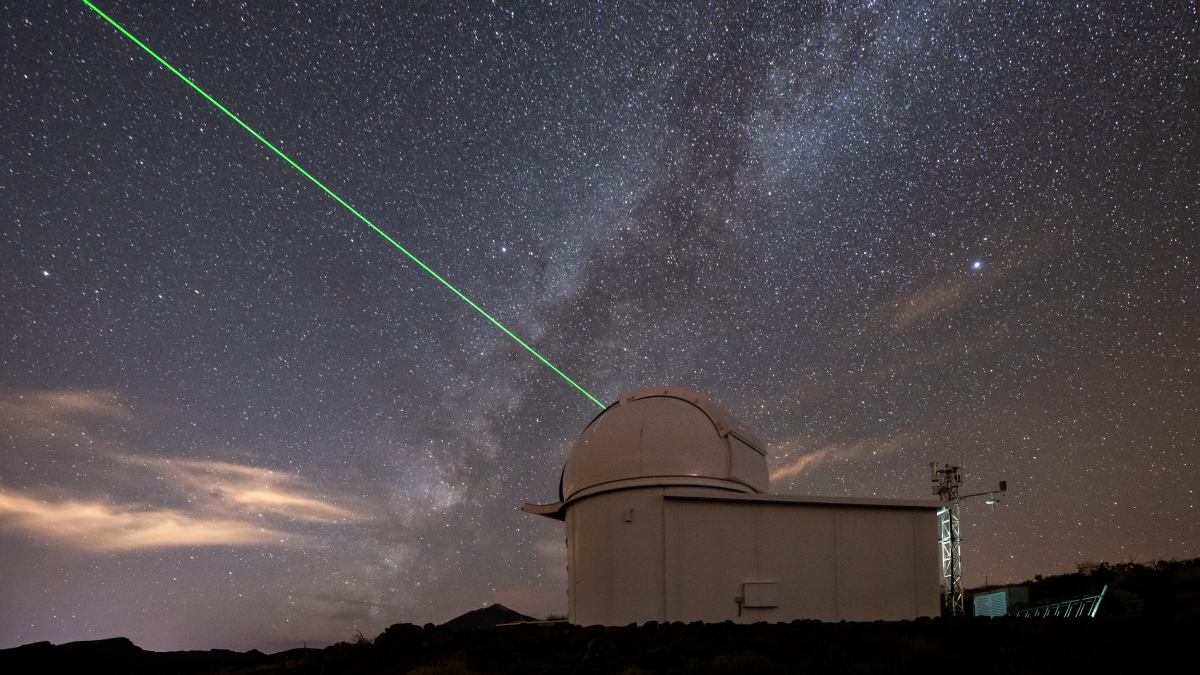
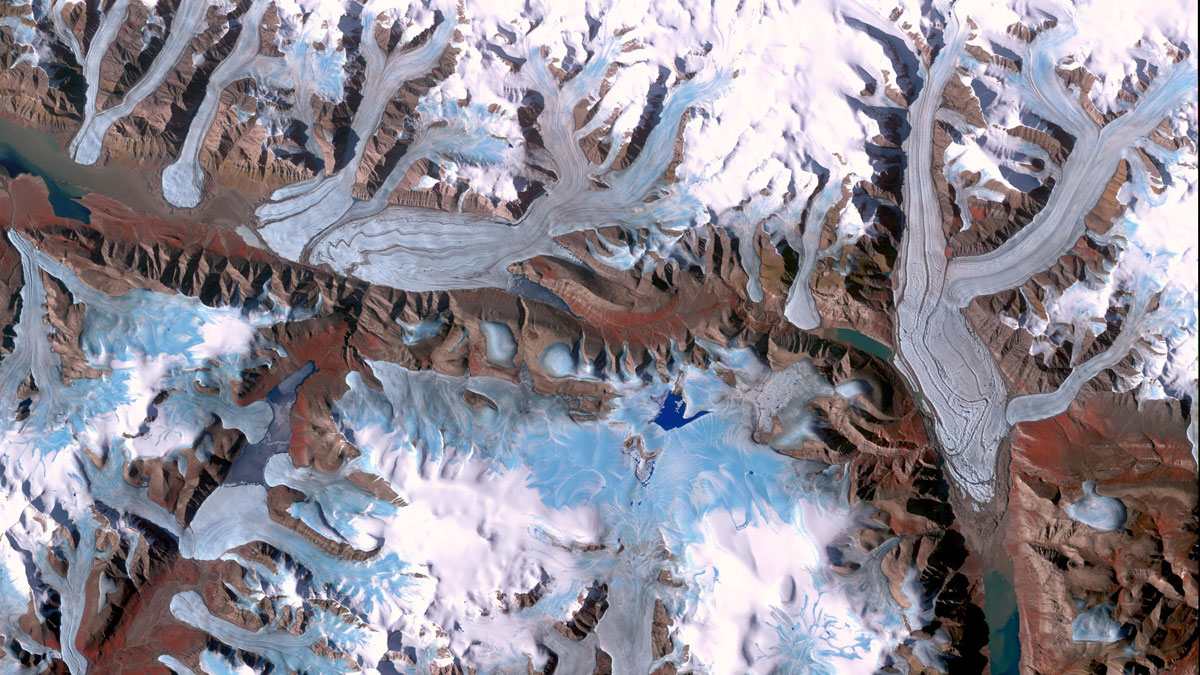
Glacier Monitoring from Space Is Crucial, and at Risk
A new community effort shows that Earth has lost 5% of its global glacier mass since 2000. The work highlights the necessity of spaceborne glacier observations and upcoming gaps in long-term monitoring.
Posted inEditors' Vox
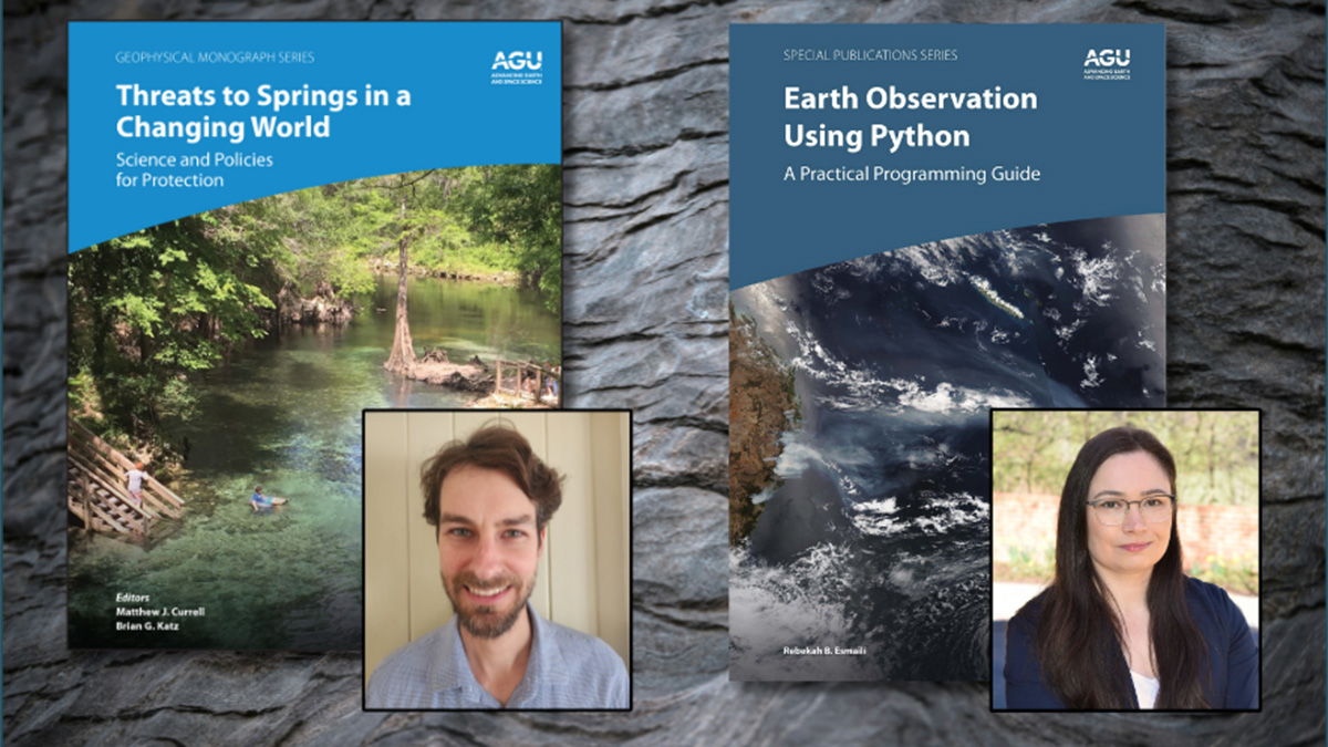
Early-Career Book Publishing: Growing Roots as Scholars
In the 1st installment of 3 career-focused articles, scientists who completed books as early-career researchers reflect on the positive outcomes the experience had on their professional development.
Posted inResearch & Developments
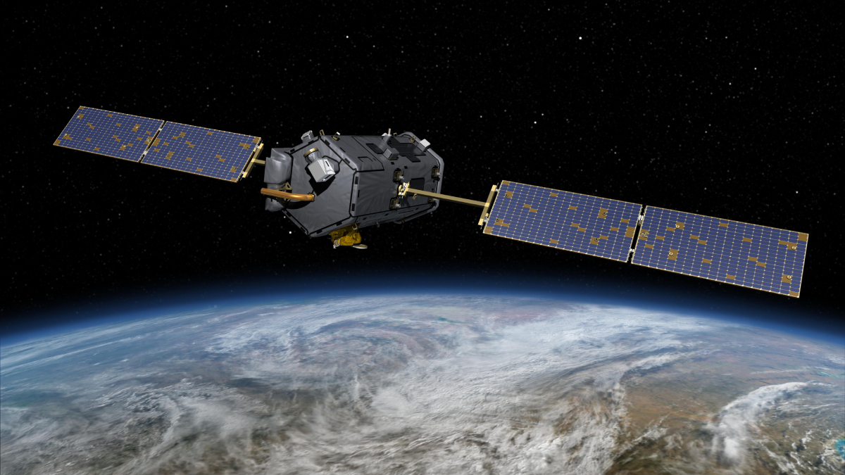
NASA Planning for Unauthorized Shutdown of Carbon Monitoring Satellites
Despite warnings that their actions are illegal, Duffy and other senior NASA officials have continued to secretly direct NASA employees to draw up plans to end at least two major satellites missions specifically designed to monitor global carbon dioxide.
Posted inResearch & Developments
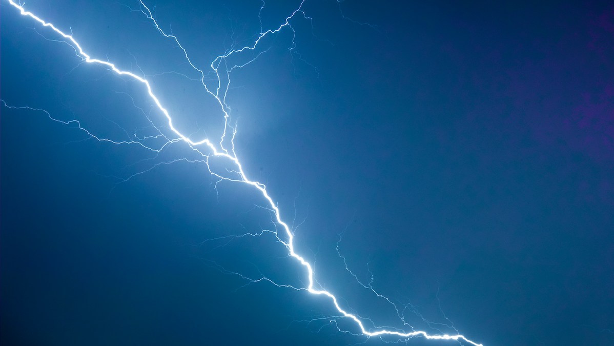
There’s a New Record for the Longest Lightning Flash
515 miles—roughly the distance from Washington, D.C. to Detroit, one-third the length of the Colorado River, and now, the longest lightning bolt ever recorded.
That’s right: A new analysis of satellite data has revealed that a 22 October 2017 storm over the U.S. Midwest created a lightning bolt that reached 829 kilometers (515 miles), from eastern Texas to nearly Kansas City. The record-setting bolt lasted about 7 seconds.

Posted inResearch Spotlights
When Rain Falls in Africa, Grassland Carbon Uptake Rises
Satellite data suggest an explanation for the continent’s high year-to-year variability in carbon uptake.
Posted inEditors' Highlights
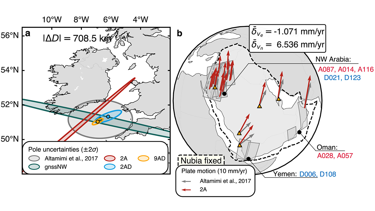
Mapping the Whereabouts of Continents
A new method integrates Interferometric Synthetic Aperture Radar (InSAR) with conventional ground geodetic networks, taking us closer to high-resolution mapping of plate motions.