
一项新研究发现,2024 年 5 月超级地磁暴影响下,地球高层大气与电离层发生了独特的变化。
satellites

Posted inEditors' Highlights
Machine Learning Provides a New Perspective of Low-level Clouds
Low-level clouds over the oceans, extensively studied for their role in climate change, are re-examined from a new perspective that applies machine learning to radar observations.

Posted inEditors' Highlights
Better Monitoring is Needed for Climate Change in the Upper Atmosphere
A new commentary calls for a better understanding of the impacts of climate change and anthropogenic emissions on long-term trends of the middle and upper atmosphere through enhanced observations and monitoring capabilities.
Posted inEditors' Highlights
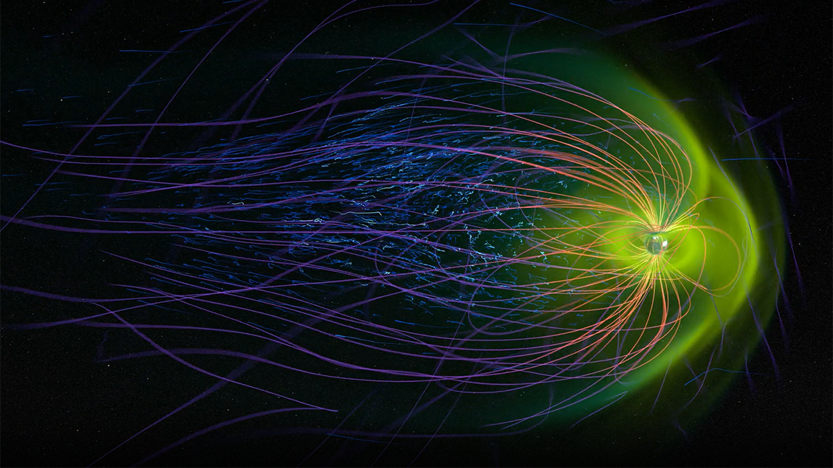
Ionospheric Changes Following the Geomagnetic Storm of May 2024
A new study finds that unique ionospheric changes occurred in the upper atmosphere in response to the May 2024 geomagnetic superstorm.
Posted inEditors' Highlights
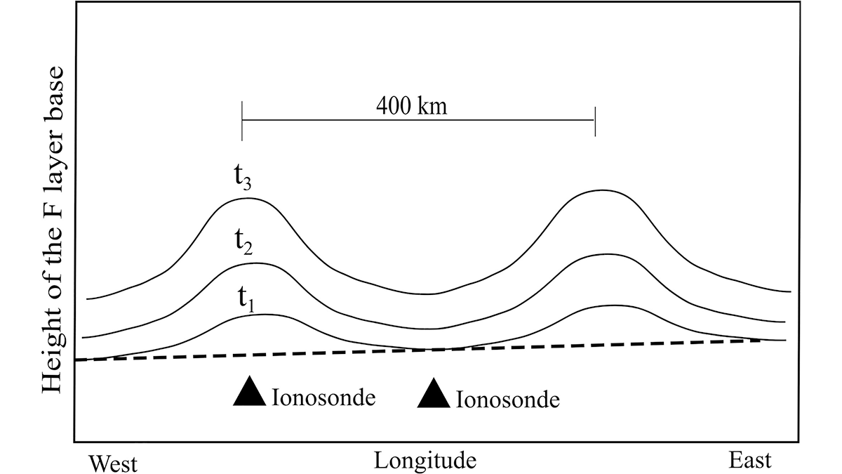
Prediction of Equatorial Plasma Bubbles for Navigation and Communication
Scientists demonstrate a new technique to predict the formation of equatorial plasma bubbles, a crucial space weather phenomenon affecting satellite-based communication and navigation systems.

Posted inEditors' Vox
Particulate Pollution and its Climate Impacts During the COVID-19 Pandemic
The impacts of COVID-19 on short-lived pollutants highlight the predominant influence of the transportation sector and the resulting changes in regional climates and ecosystems.
Posted inEditors' Highlights
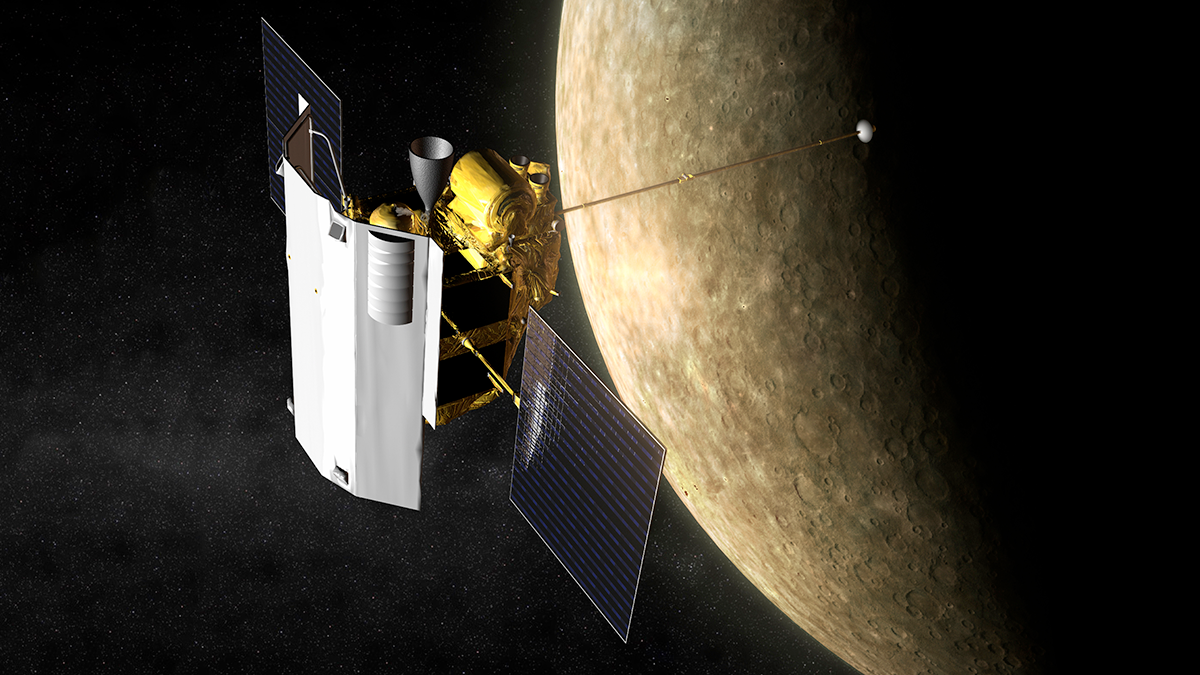
Mercury’s Hollows may be Young and Active
The first machine learning-derived global-scale survey of Mercury’s hollows suggests they are young features that may be active and will continue to evolve.

Posted inEditors' Highlights
Using Satellite Data for More Effective Disaster Response
Satellite data play a crucial role in disaster assessment and response. Meeting expanding demand requires not only accelerated data processing but increased collaboration with responders.
Posted inEditors' Highlights
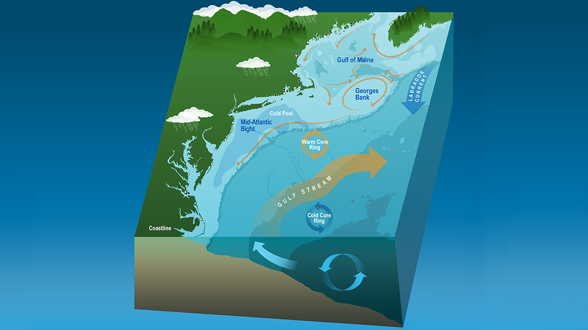
Coastal Dynamics Revealed by Satellite Salinity Data
One decade of high-quality satellite salinity observations provide valuable insights into the complex dynamics in the Mid-Atlantic Bight.

Posted inEditors' Highlights
Characterizing the Space Between Clouds and Clear Sky
The area near clouds is often classified as ‘clear sky’, but a new study demonstrates the potential biases of misclassifying these transition zones and their significance for Earth’s energy budget.