“Preserve and cherish the pale blue dot, the only home we’ve ever known.”
satellites
Posted inEditors' Highlights
Improvements to Measuring the Ups and Downs of the Landscape
If you are a jazz fan, you may be familiar with Ella Fitzgerald singing ‘How deep is the ocean, how high is the sky’. Using data from the Shuttle Radar Topography Mission we now know how high the land really is.
Posted inEditors' Vox
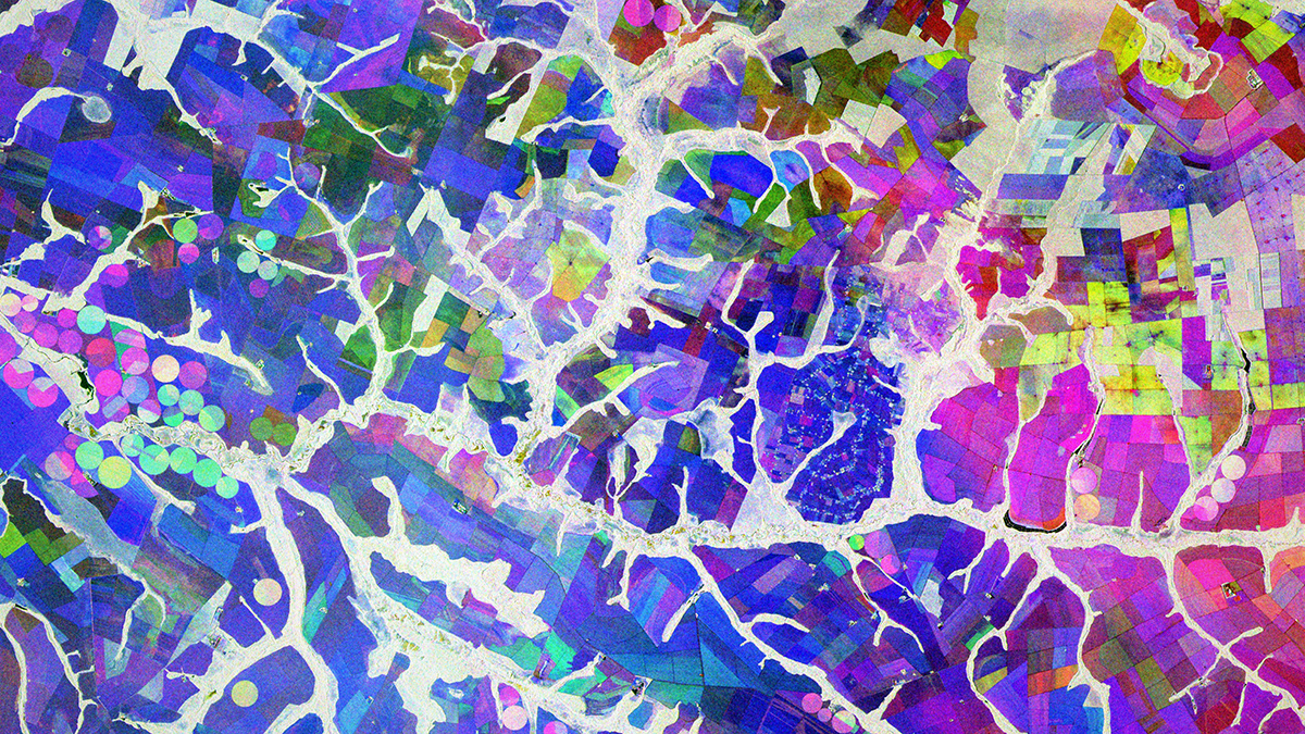
Unlocking the Power of Synthetic Aperture Radar for Geosciences
Due to its unique ability to monitor Earth’s surface, Synthetic Aperture Radar plays a pivotal role in revolutionizing the geosciences.
Posted inResearch Spotlights
Subtle Coastal Sinking Raises Storm Surge Risks
New detection of millimeter-scale subsidence along vulnerable coastlines means flood risk predictions may be inaccurate.
Posted inScience Updates
A Cloud-Based Solution to a Radar Data Deluge
An open-science tool built to support NASA missions is making synthetic aperture radar, once the domain only of subject matter experts, more accessible for nonspecialists and real-world applications.

Posted inEditors' Vox
An All-Community Push to “Close the Loops” on Southern Ocean Dynamics
A new study highlights the connected nature of the Southern Ocean dynamic system, the research priorities needed to understand its influence on climate change, the importance of cross-disciplinary collaborations.

Posted inFeatures
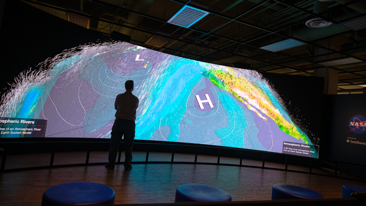
Data to Decisions: Changing Priorities for Earth Observations
NASA is updating how it designs and implements Earth science missions to ensure their data and science reach users and decisionmakers faster and more effectively.

Posted inEditors' Highlights
Fixing Pollution from Space Needs Global Coordination
Remote sensing is a tool of choice for monitoring regions for air pollution, but the scale of the problem requires extending geostationary soundings globally.
Posted inResearch Spotlights
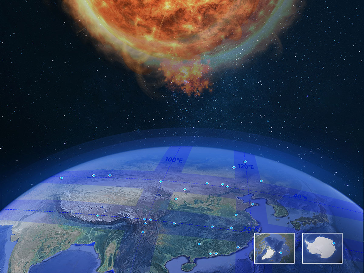
From Sun to Earth: A New Network for Comprehensive Space Weather Monitoring
The Chinese Meridian Project combines hundreds of instruments for a detailed, three-dimensional view of the solar-terrestrial environment.

Posted inEditors' Highlights
Using Satellite Data to Estimate Atmospheric CO2 Growth Rates
A new method improves growth rate estimates of carbon dioxide increase in the atmosphere by combining the standard NOAA approach with satellite data.