Source: Geophysical Research Letters
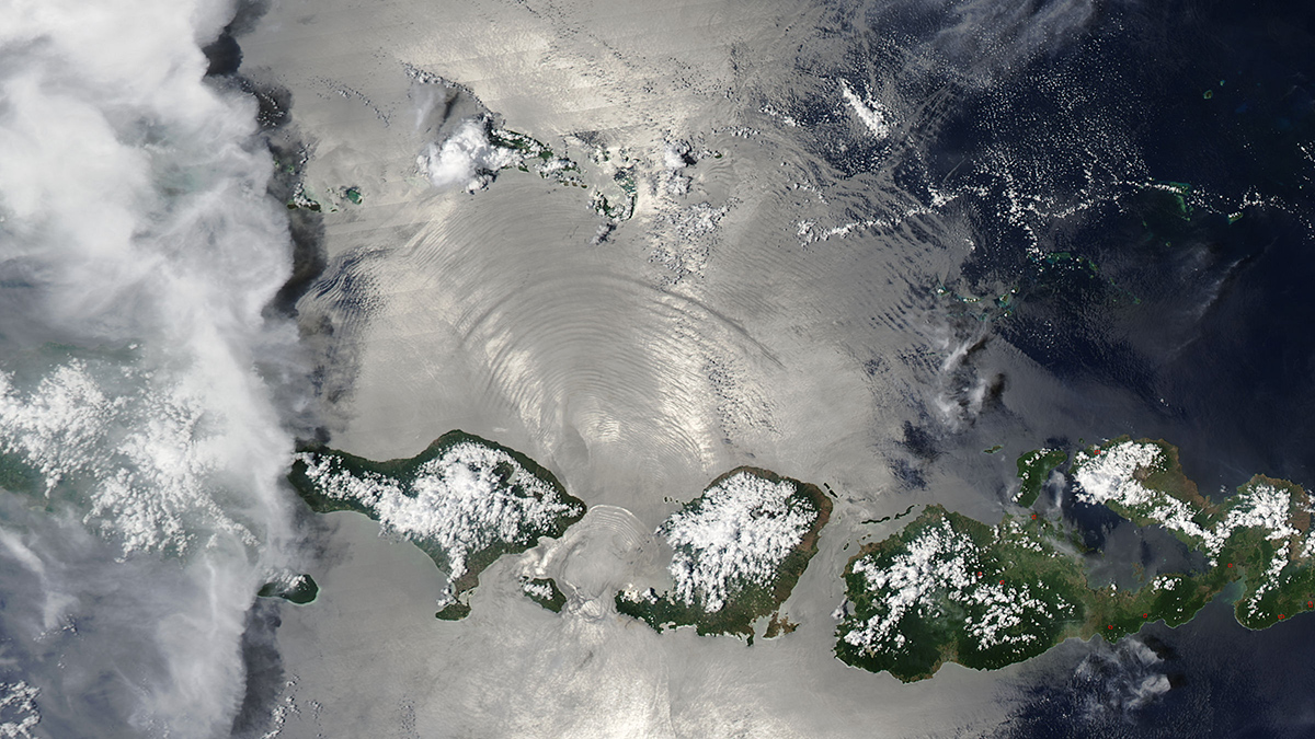
Waves don’t take place just on the ocean’s surface. Underneath the crests and troughs that we can see from above are internal tides, which form when tidal flows collide with seamounts, continental slopes, and ridges on the seafloor.
Internal tides play a significant role in ocean movements such as wave patterns and the mixing of different ocean layers, which in turn affect heat and carbon transfer and storage. Though internal tides are generally strongest below the surface, their effects on sea surface height are large enough to be detected by satellite altimeters. When scientists want to accurately measure slower moving ocean features, such as eddies and currents, they isolate them by analyzing the satellite altimeter data and removing the signatures of internal tides.
Yadidya et al. used new supercomputer modeling to forecast the global movement of internal tides. Their models were able to accurately remove the internal tide signal from sea surface height measurements without requiring empirical analysis. These new modeling techniques also provided hourly readings in 30- to 120-day analysis windows, offering insights into ocean movement that are missed by satellite measurements taken every 9–35 days.
These models provide many possibilities for future study of tidal activity, as well as information about all the layers of the ocean, not only the surface. The model’s development could also provide a shift from data-driven predictions about internal tides to more dynamic modeling techniques. (Geophysical Research Letters, https://doi.org/10.1029/2023GL107232, 2024)
—Rebecca Owen (@beccapox), Science Writer

