
Mangroves found in southern Mexico’s rain forest, 170 kilometers from the nearest ocean, date to a time when sea levels were several meters higher.
sea level change

Posted inEditors' Highlights
ICESat-2 Adds Estimates of Sea Level Trends to Accomplishments
The high spatial resolution and high orbit of ICESat-2 make it suited for measuring sea level close to the coast and in the polar regions, filling a gap in our sea level observational system.

Posted inResearch Spotlights
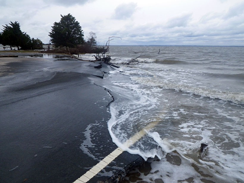
Measuring Sea Level Rise Along the Coast
Scientists created a global map of vertical land motion to show how the solid ground is moving relative to the planet’s rising seas.

Posted inResearch Spotlights
Long-Term Sea Level Cycle Affects Predictions of Future Rise
New research confirms the existence of a regular, long-term fluctuation in sea level, perhaps caused by processes in Earth’s core.

Posted inNews
In a Twist, a Greek Volcano Ruled by the Sea
Move over Hephaestus, Poseidon’s got this one.

Posted inResearch Spotlights
Half of U.S. Tidal Marsh Areas Vulnerable to Rising Seas
Adaptation appears possible in some areas, with northerly marshes having a greater capacity to form new soil and gain elevation, whereas some southerly marshes can migrate inland.

Posted inEditors' Highlights
Sea-Level Science Coordination: A U.S. and Global Concern
Sea-level rise is happening. There are basic science needs for supporting decision making for sea-level adaptation efforts and challenges to making information available to stakeholders.
Posted inNews
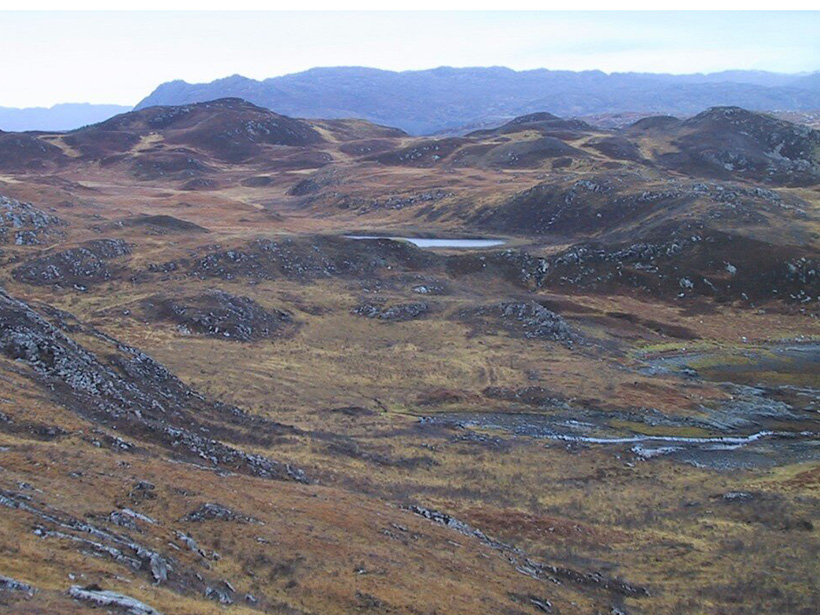
An Ancient Meltwater Pulse Raised Sea Levels by 18 Meters
Meltwater pulse 1A, a period of rapid sea level rise after the last deglaciation, was powered by melting ice from North America and Scandinavia, according to new research.

Posted inGeoFIZZ
Rising Sea Levels Bring a Tidal Change to Tourism
A series of industry posters reimagines iconic locales in light of sea level rise and issues a call for action against climate change.