• About
  • Sections
  • Topics
    • Climate
    • Earth Science
    • Oceans
    • Space & Planets
    • Health & Ecosystems
    • Culture & Policy
    • Education & Careers
    • Opinions
  • Projects
    • ENGAGE
    • Editors’ Highlights
    • Editors’ Vox
    • Eos en Español
    • Eos 简体中文版
    • Print Archive
  • Science Policy Tracker
  • Blogs
    • Research & Developments
    • The Landslide Blog
  • Newsletter
  • Submit to Eos
  • AGU.org
  • Career Center
  • Join AGU
  • Give to AGU
  • About
  • Sections
  • Topics
    • Climate
    • Earth Science
    • Oceans
    • Space & Planets
    • Health & Ecosystems
    • Culture & Policy
    • Education & Careers
    • Opinions
  • Projects
    • ENGAGE
    • Editors’ Highlights
    • Editors’ Vox
    • Eos en Español
    • Eos 简体中文版
    • Print Archive
  • Science Policy Tracker
  • Blogs
    • Research & Developments
    • The Landslide Blog
  • Newsletter
  • Submit to Eos
Skip to content
  • AGU.org
  • Career Center
  • Join AGU
  • Give to AGU
Eos

Eos

Science News by AGU

Support Eos
Sign Up for Newsletter
  • About
  • Sections
  • Topics
    • Climate
    • Earth Science
    • Oceans
    • Space & Planets
    • Health & Ecosystems
    • Culture & Policy
    • Education & Careers
    • Opinions
  • Projects
    • ENGAGE
    • Editors’ Highlights
    • Editors’ Vox
    • Eos en Español
    • Eos 简体中文版
    • Print Archive
  • Science Policy Tracker
  • Blogs
    • Research & Developments
    • The Landslide Blog
  • Newsletter
  • Submit to Eos

sea level change

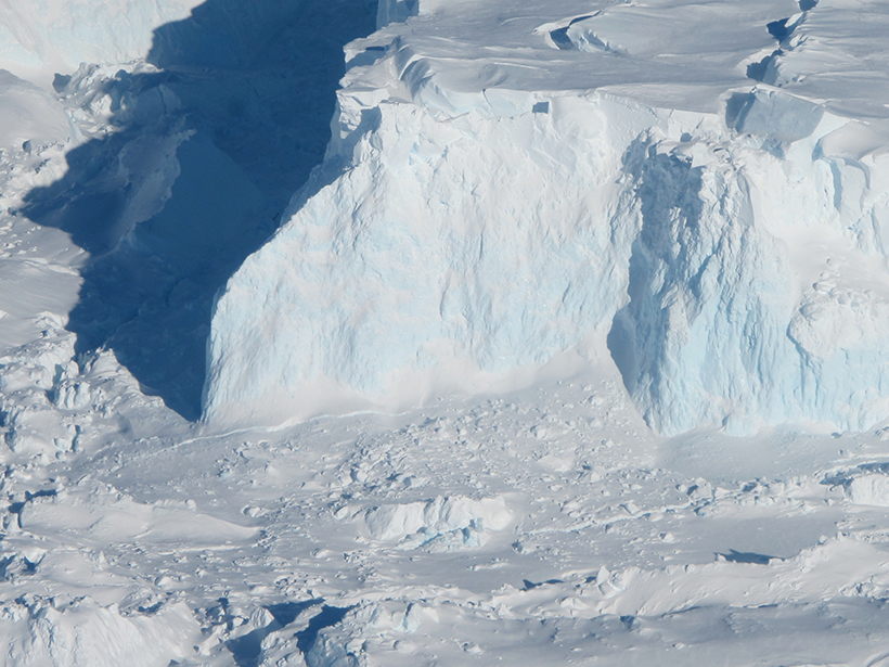
Aerial photo of the white and blue ice of the Thwaites ice shelf
Posted inNews

What Lies Beneath Is Important for Ice Sheets

Sarah Derouin, Science Writer by Sarah Derouin 19 December 201926 January 2023

New research reconstructing the topography of Antarctica shows that the continent has 25% less land above sea level than when ice first started to accumulate 34 million years ago.

A pool of meltwater on Greenland’s ice sheet
Posted inNews

A New Source of Sea Level Rise from Greenland: Ice Slabs

Jenessa Duncombe, Staff Writer by Jenessa Duncombe 10 December 201911 January 2022

Runoff from the Greenland ice sheet’s high elevations could double by 2100, thanks to solid layers of ice hiding just beneath the surface.

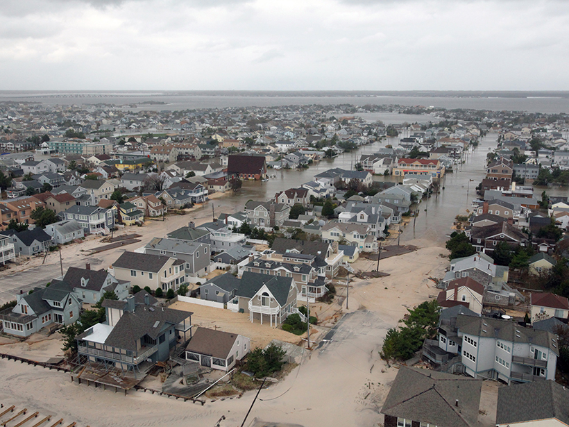
The Queens, N.Y., neighborhood of Rockaway Beach was heavily damaged by flooding exacerbated by extreme storm surges during Hurricane Sandy in October 2012.
Posted inResearch Spotlights

Sea Level Science Grapples with Uncertainty and Usability

Sarah Stanley, Science Writer by Sarah Stanley 4 December 201915 February 2023

Improved transdisciplinary approaches are needed to ensure that research on rising seas is useful for planning in coastal communities.

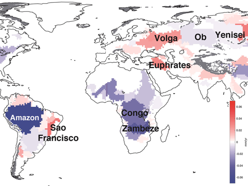
Map showing how much terrestrial water storage in some of the world’s major river basins contributes to sea level rise.
Posted inEditors' Highlights

A Closure on Sea Level Rise Budget

by Valeriy Ivanov 27 November 201928 October 2021

Terrestrial water loss may explain the lack of previous budget closure in global mean sea level rise.

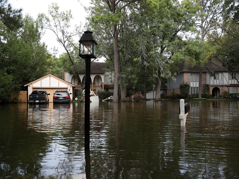
Large houses on a flooded street
Posted inNews

Equity Concerns Raised in Federal Flood Property Buyouts

Kimberly M. S. Cartier, News Writing and Production Intern for Eos.org by Kimberly M. S. Cartier 9 October 20191 March 2023

The communities most in need of federal property buyouts after a flood are the communities least likely to get them.

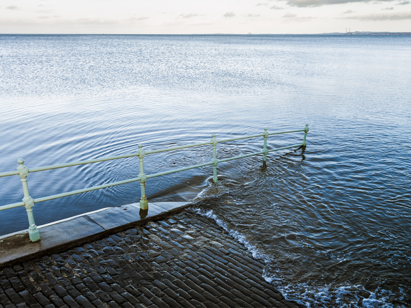
A brick walkway with a handrail leads directly into the ocean.
Posted inNews

Grim Report on Climate Change Impacts on Oceans and Cryosphere

by Randy Showstack 25 September 20193 April 2023

A new report by the Intergovernmental Panel on Climate Change states that bold actions can prevent significantly worse impacts.

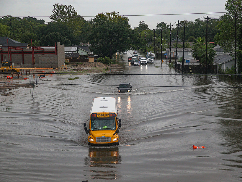
A school bus drives through flooded streets in Houston, Texas, on 19 September 2019.
Posted inAGU News

AGU Releases Report to Address Flooding in Communities

Chris McEntee, executive director and CEO of AGU by Chris McEntee 24 September 201923 March 2023

The Surging Waters report shows how science empowers us to mitigate the impacts on people and property in communities around the United States.

The Norfolk skyline as seen from across the Elizabeth River in 2016
Posted inOpinions

Investing in Science to Improve Climate Risk Management

by V. Srikrishnan, R. Alley and K. Keller 16 August 20191 March 2023

Integrating Earth science research and observations into adaptation planning helps identify effective strategies to manage climate risks.

View of Chesapeake Bay from the Philip Merrill Environmental Center in Annapolis, Md.
Posted inScience Updates

Scientists and Planners Face Challenge of Rising Seas

by B. D. Hamlington, C. Boening and H. P. Brennan 14 August 201913 March 2023

NASA Sea Level Change Team Meeting; Annapolis, Maryland, 11–13 March 2019

Satellite image of the East Coast of North America
Posted inResearch Spotlights

Demystifying Sea Level Changes Along the New England Coast

by Terri Cook 18 June 20192 July 2024

No direct causal connection exists between coastal sea level changes and the strength of the North Atlantic’s overturning circulation, according to new, longer-term observational records.

Posts pagination

Newer posts 1 … 9 10 11 12 13 … 18 Older posts
A view of a Washington, D.C., skyline from the Potomac River at night. The Lincoln Memorial (at left) and the Washington Monument (at right) are lit against a purple sky. Over the water of the Potomac appear the text “#AGU24 coverage from Eos.”

Features from AGU Publications

Research Spotlights

Machine Learning Simulates 1,000 Years of Climate

27 August 202527 August 2025
Editors' Highlights

As Simple as Possible: The Importance of Idealized Climate Models

28 August 202526 August 2025
Editors' Vox

Waterworks on Tree Stems: The Wonders of Stemflow

21 August 202520 August 2025
Eos logo at left; AGU logo at right

About Eos
ENGAGE
Awards
Contact

Advertise
Submit
Career Center
Sitemap

© 2025 American Geophysical Union. All rights reserved Powered by Newspack