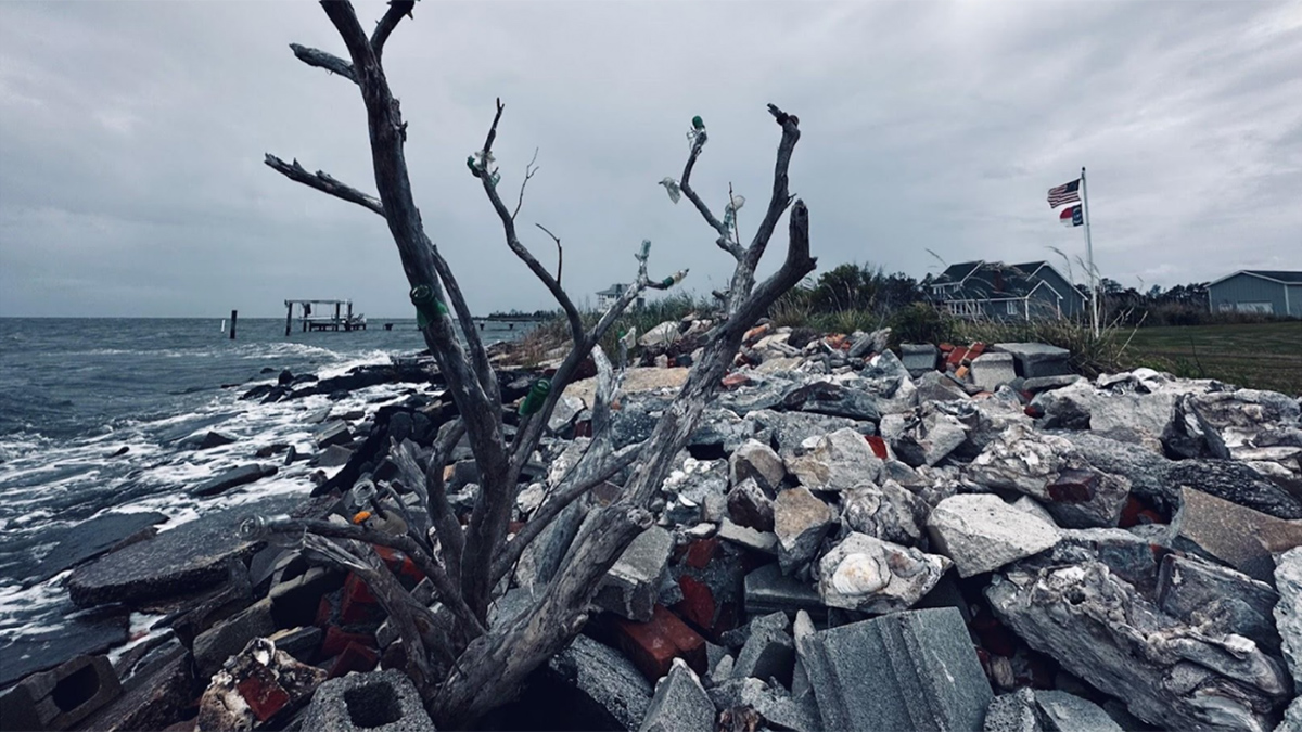
An interdisciplinary network of scientists and stakeholders is working to understand how saltwater intrusion and sea level rise are affecting rural communities and to help address the consequences.
subsidence
Posted inNews
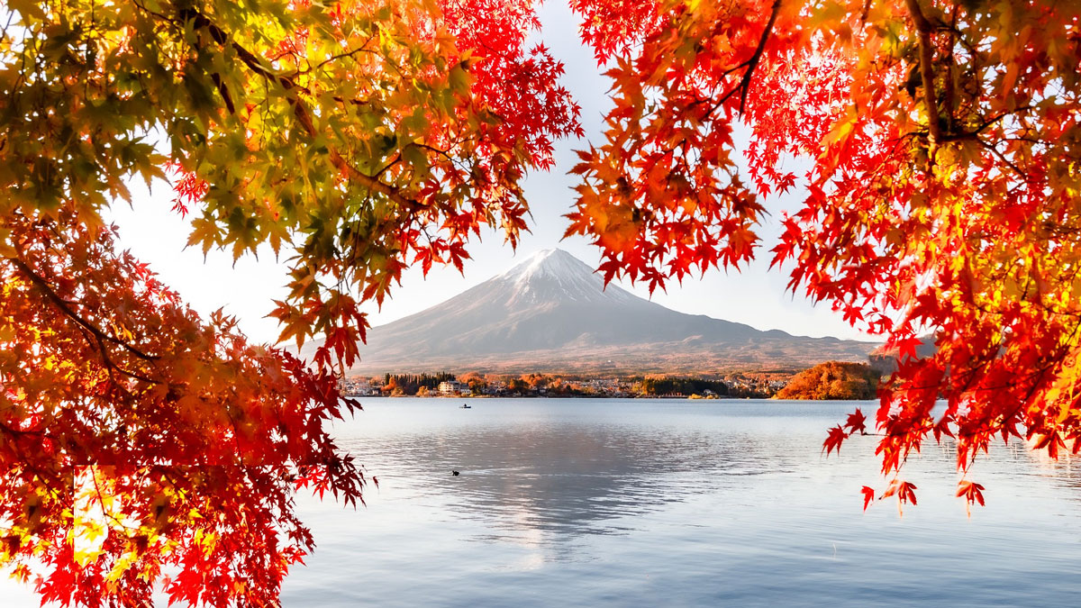
Heavy Rainfall Inflates Mount Fuji
The uplift, several centimeters in magnitude, is likely caused by water pooling in the mountain’s shallow aquifers. The effect is shorter lived than deformation caused by magmatic activity.
Posted inNews
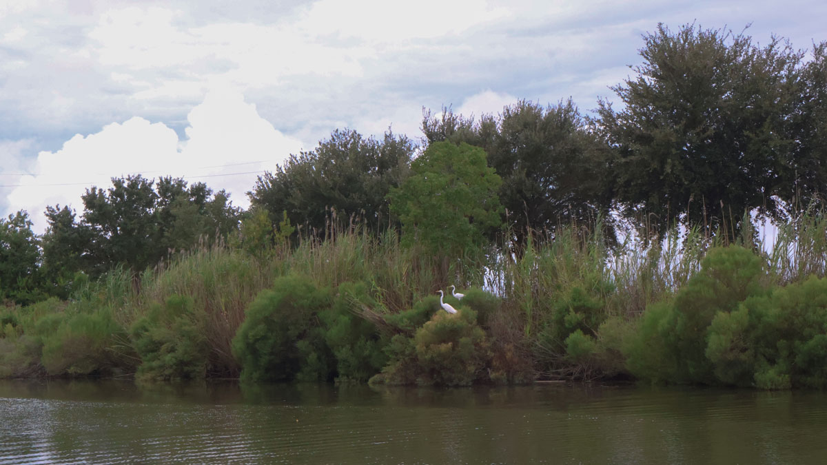
Why Are River Deltas Disappearing? They’re Sinking Faster Than Many People Realize
It’s not just that sea levels are rising. Scientists believe fossil fuel extraction and river engineering are also factors behind coastline disappearance.
Posted inNews
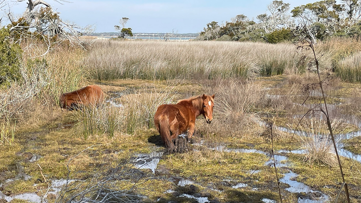
What Salty Water Means for Wild Horses
New research monitors how saltwater intrusion is affecting the behaviors of Shackleford Banks’s wild horses.
Posted inNews
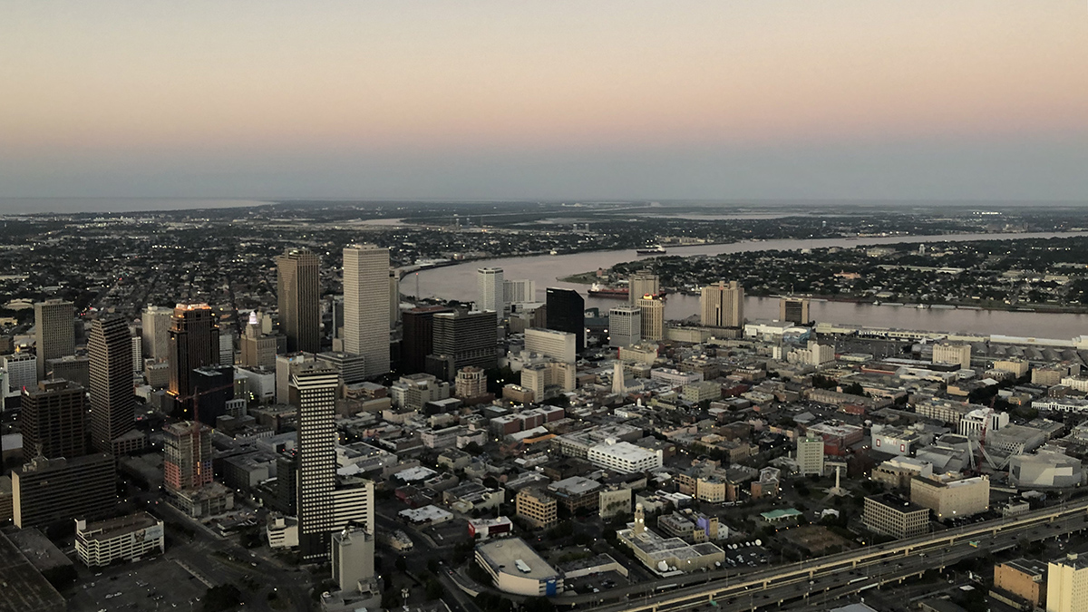
Parts of New Orleans Are Sinking
Areas near the airport, along floodwalls, and in nearby wetlands are subsiding because of a combination of natural and anthropogenic forces.

Posted inEditors' Highlights
Tracking the Sinking Ground from Coal Seam Gas Extraction
A new model shows how coal seam gas extraction causes land to sink by linking groundwater loss and coal shrinkage, helping predict impacts on farming in gas-producing areas.
Posted inEditors' Vox
Rising Concerns of Climate Extremes and Land Subsidence Impacts
Increasing interplay among extreme events and land subsidence impacts calls for urgent mitigation and policy action to reduce detrimental ramifications to infrastructure and people.

Posted inNews
33.8 Million People in the United States Live on Sinking Land
The most populated cities in the country are slowly subsiding, posing risks to infrastructure and exacerbating flooding—and not just on the coasts.

Posted inResearch Spotlights
Tsunami Sands Help Scientists Assess Cascadia Earthquake Models
With evidence from new sediment cores, researchers tested the performance of various models of the 1700 CE megathrust earthquake.
Posted inNews
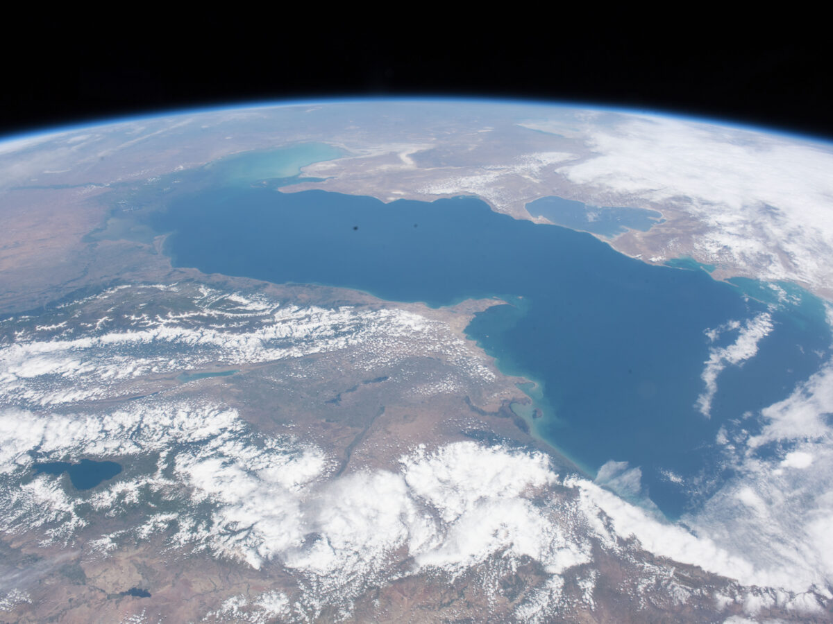
As the Caspian Sea Recedes, Tectonics May Help Shape Its Coastline
Land subsidence and uplift determine where the Caspian Sea’s coastline shifts the fastest.