
A new interactive tool is helping residents understand how their lands and homes are at risk.
subsidence
Posted inNews
Mapping Sinking Land for Tribal Resilience in Louisiana
The Grand Caillou/Dulac Band of Biloxi Chitimacha Choctaw Tribe has been losing land to the sea, which could hamper efforts to gain federal recognition.
Posted inNews
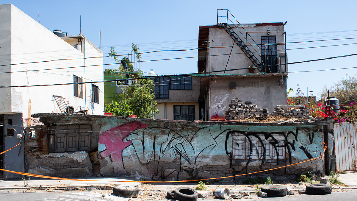
La extracción de agua subterránea está causando el hundimiento de la CDMX
Investigadores aseguran que saber cuánta agua está siendo extraída es crucial para resolver la crisis de infraestructura y de abastecimiento de agua en la capital.

Posted inNews
Sinking Cities and Rising Waters
Climate-driven sea level rise combines with land subsidence in some of Africa’s fastest-growing cities.

Posted inNews
Groundwater Pumping Is Causing Mexico City to Sink
Researchers say knowing how much water is being extracted is crucial for addressing infrastructure and water supply crises in the capital.

Posted inEditors' Highlights
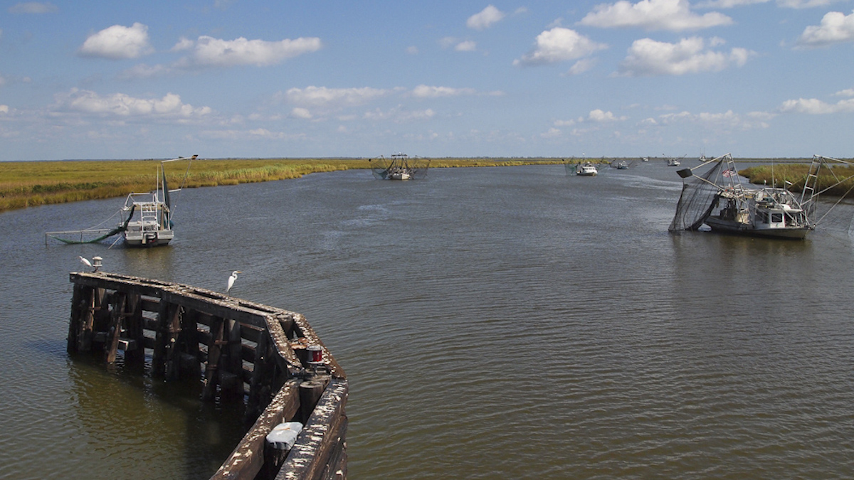
Tracking Subsidence on Deltas With Fiber-Optics
Fiberoptic strain meters capable of measuring micron-scale subsidence reveal a Holocene sediment package on the Mississippi Delta that is mostly stable.

Posted inNews
Projection: $110 Billion in Repairs for Russian Pipelines on Permafrost
Permafrost thaw is a major threat to pipelines in the Russian Arctic, particularly those carrying natural gas.

Posted inScience Updates
Forecasting Compound Floods in Complex Coastal Regions
Coastal communities face more frequent floods in which rain, rivers, and ocean storm surge combine forces. A reliable system that accurately predicts inundation from these events is urgently needed.
Posted inENGAGE, News
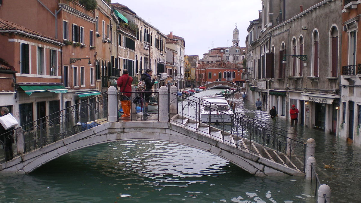
For Venice’s Floodgates to Work, Better Forecasts Are Needed
Climate change increases massive storm surges, which may be more than Venice’s flood-control system can handle.
Posted inEditors' Highlights
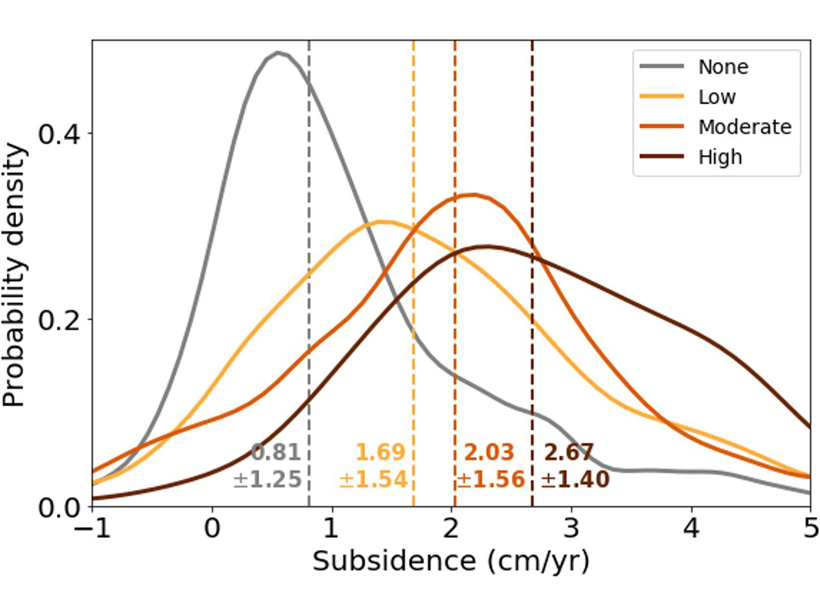
SE Asia Peatlands Subsidence Tied to Drainage Density
Human-made channelization significantly accelerates peat decomposition and drives ground-surface deformation in tropical wetlands.