
Policymakers, industry and conservation professionals, and tribal members explore pathways to a sustainable future for the millions of people reliant on the “lifeblood of the American West.”
United States

Posted inResearch Spotlights
The Effects of Climate Change on U.S. Suicide Rates
Suicide incidence could increase by up to 1,660 cases annually, depending on how much the climate changes.

Posted inResearch Spotlights
Impact of Climate on River Chemistry Across the United States
Findings of a new study have implications for water quality, aquatic ecosystem health, and water treatment and management as the world warms.

Posted inEditors' Highlights
Western US Adjoint Tomography Reproduces Waveform Complexity
Adjoint tomography employing 3D wavefield simulations for 72 well recorded regional earthquakes in the western U.S. yields spectacular improvements to waveform fits.

Posted inResearch Spotlights
Living near Fumigant-Using Farms Could Increase Cancer Risk
Analysis of data from 11 western U.S. states found higher cancer rates in people living in areas with elevated gas-based pest control.

Posted inENGAGE, News
Roosters, S’mores, and #EmergencyCute: A Humor-in-Crisis How-To
When natural hazards strike communities, we may not think science agencies should respond with humor. Researchers suggest that sometimes, however, humor can connect communities and bring smiles.
Posted inScience Updates
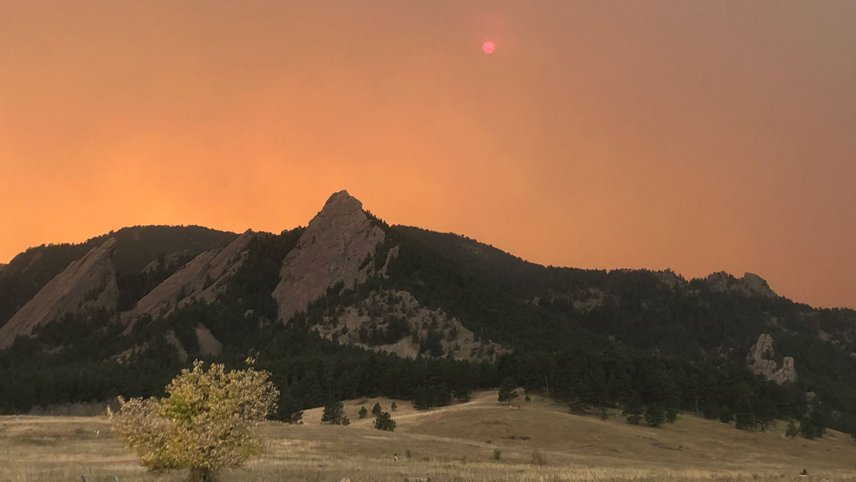
For Western Wildfires, the Immediate Past Is Prologue
A new machine learning approach trained on winter and spring climate conditions offers improved forecasts of summer fire activity across the western United States.

Posted inNews
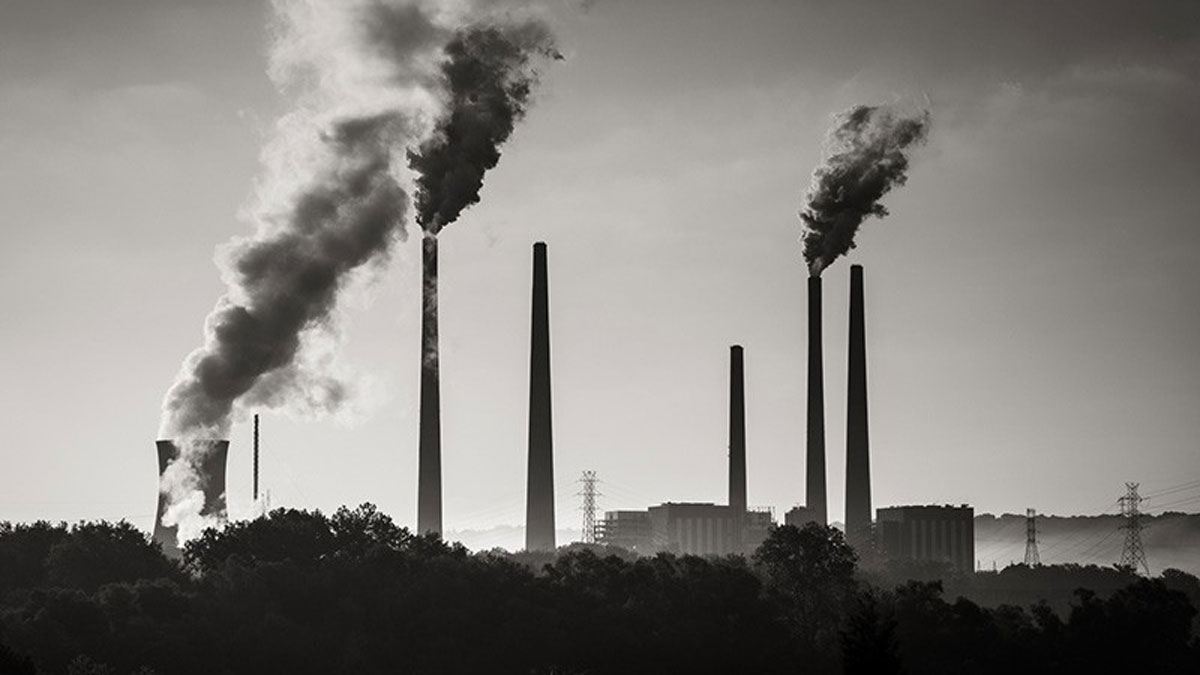
Cuantificando los beneficios para la salud de una transición a energías limpias en EE. UU.
Eliminar la contaminación del aire relacionada con la energía en los Estados Unidos podría evitar aproximadamente 50,000 muertes prematuras y ahorrar miles de millones de dólares al año.

Posted inResearch Spotlights
Algorithm Detects Thousands of Missing Levees from U.S. Database
An existing levee database accounts for just one fifth of the country’s actual total levee count, limiting the study of how these embankments affect riparian ecosystem health in the United States.
Posted inResearch Spotlights
Quantifying the Health Benefits of a U.S. Clean Energy Transition
Eliminating energy-related air pollution in the United States could prevent roughly 50,000 premature deaths and save billions of dollars per year.