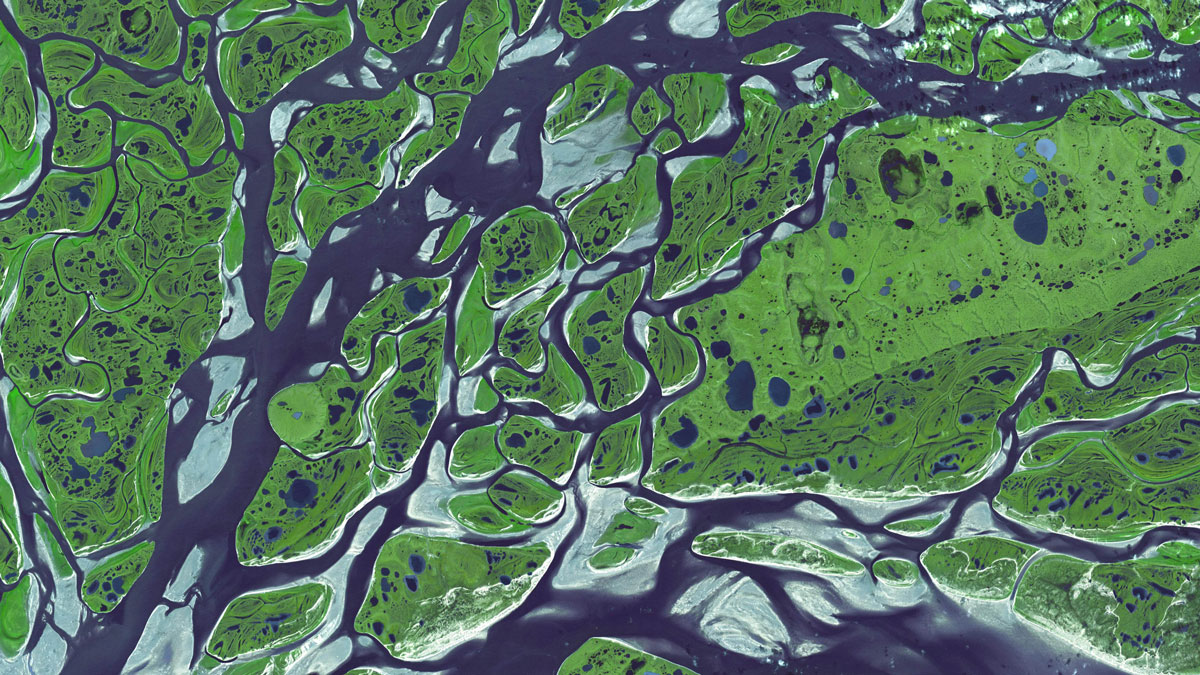
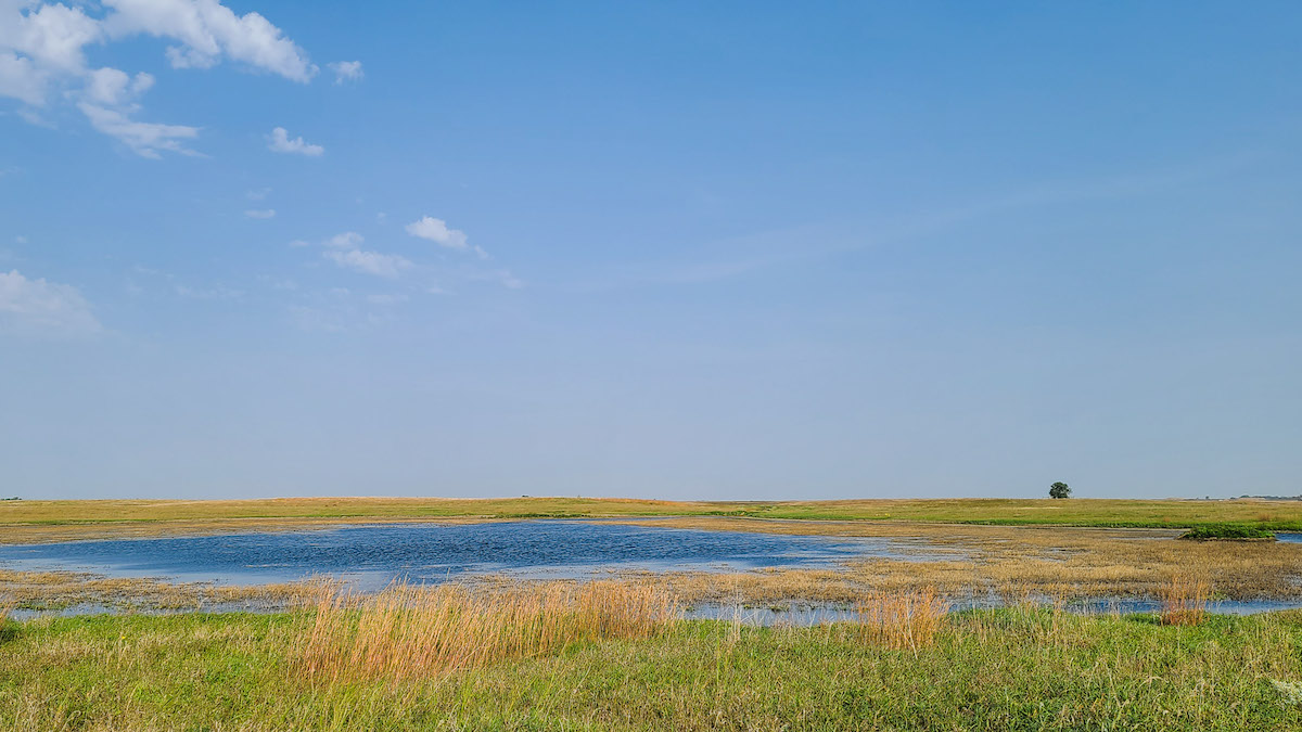
New research suggests that small wetlands, previously unaccounted for in the global methane budget, are responsible for about 25% of global methane emissions.
wetlands
Posted inNews
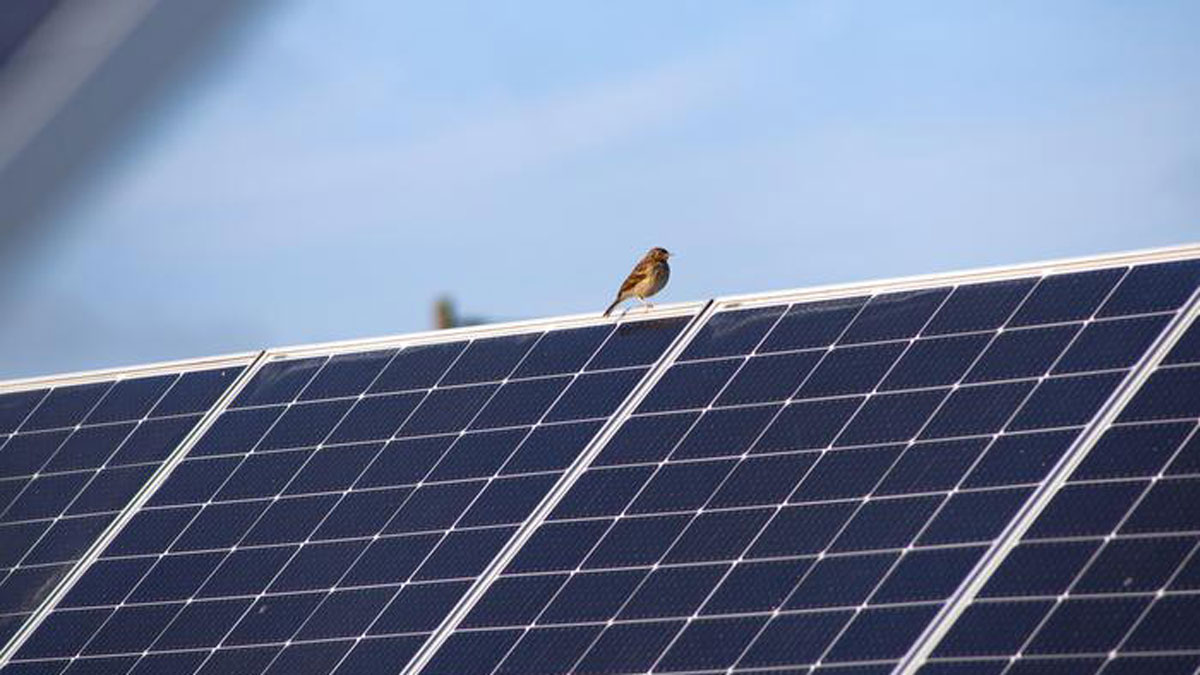
For the Birds: Solar Panels over Peatlands May Increase Avian Biodiversity
A new study finds an unusual mix of bird species thriving in a German solar park built on degraded peatland.
Posted inNews
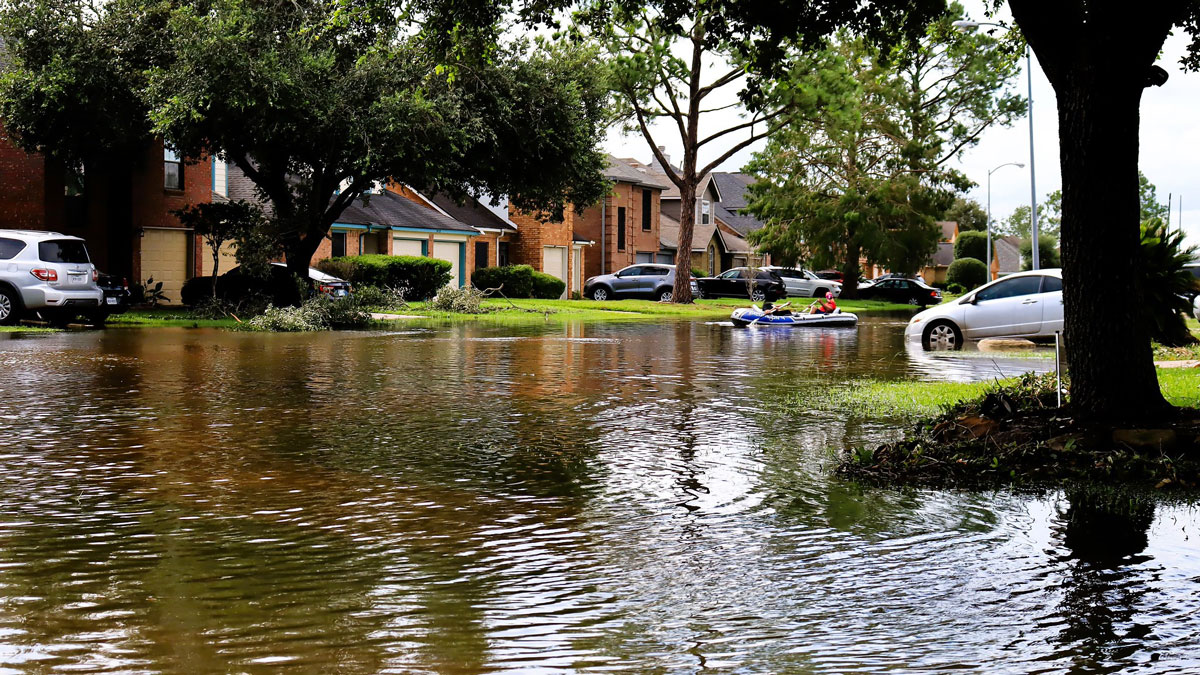
Calculating the Costs of Wetland Loss
Wetlands protect communities and ecosystems from flooding. A new study quantifies their financial importance.
Posted inResearch Spotlights
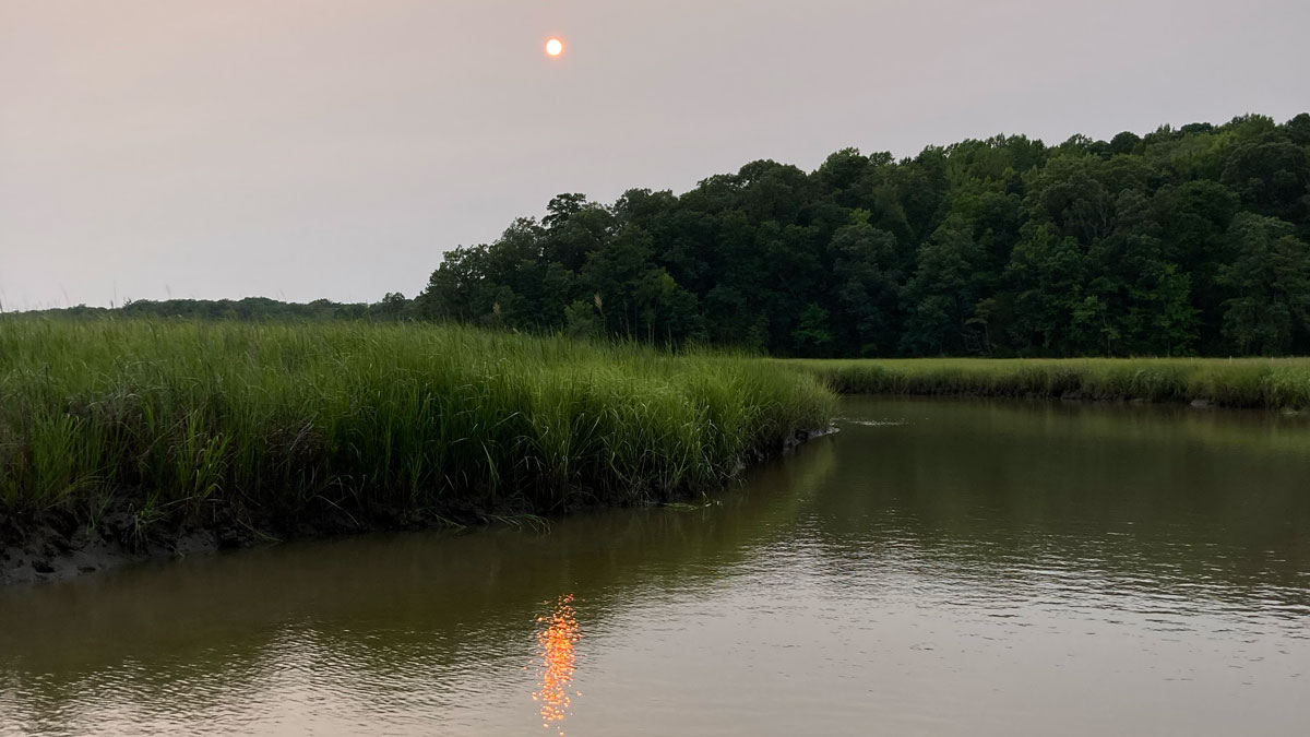
Tracking 20 Years of Productivity in Tidal Wetlands
A new study suggests warming temperatures and increased solar radiation have boosted carbon fixation in tidal wetlands across the country.
Posted inNews
Ancient Maya Wetlands Reveal Settlement That Thrived Amid “Collapse”
A newly excavated site provides evidence that Maya communities migrated from urban areas to rural wetlands during times of intense drought.
Posted inNews
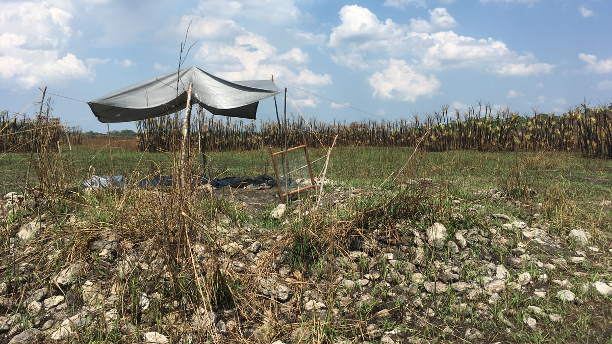
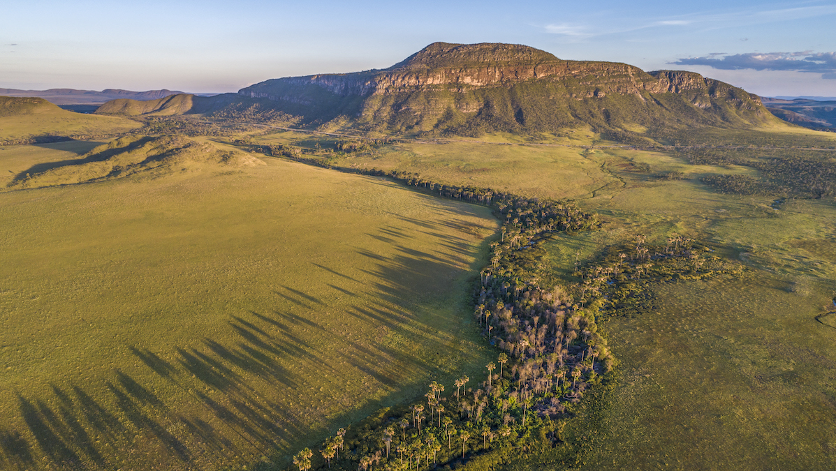
These Underprotected Brazilian Wetlands Store Carbon with Staggering Density
The Cerrado, largely overlooked in climate science and policy, is a critical carbon sink, according to new research.
Posted inEditors' Vox
Coastal Wetlands Restoration, Carbon, and the Hidden Role of Groundwater
Coastal wetland restoration offers major carbon benefits, and understanding groundwater processes helps explain how these ecosystems store carbon over the long term.
Posted inNews
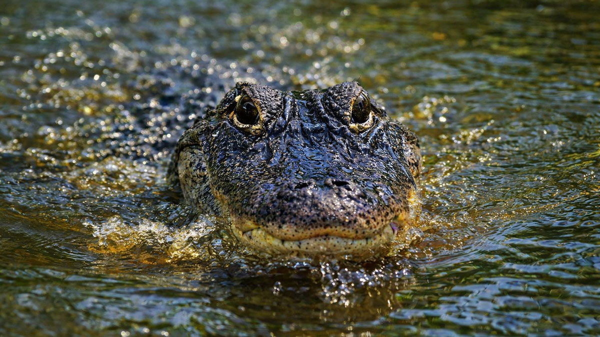
Alligators May Boost Carbon Storage in Coastal Wetlands
Research suggests that American alligators help coastal wetlands retain more carbon, linking predator recovery in the southeastern United States to ecosystem function and climate processes.
Posted inNews
After Sackett, a Wisconsin-Sized Wetland Area Is Vulnerable
An analysis of wetland legal frameworks shows how water rules could leave millions of hectares without meaningful protections.
Posted inResearch Spotlights
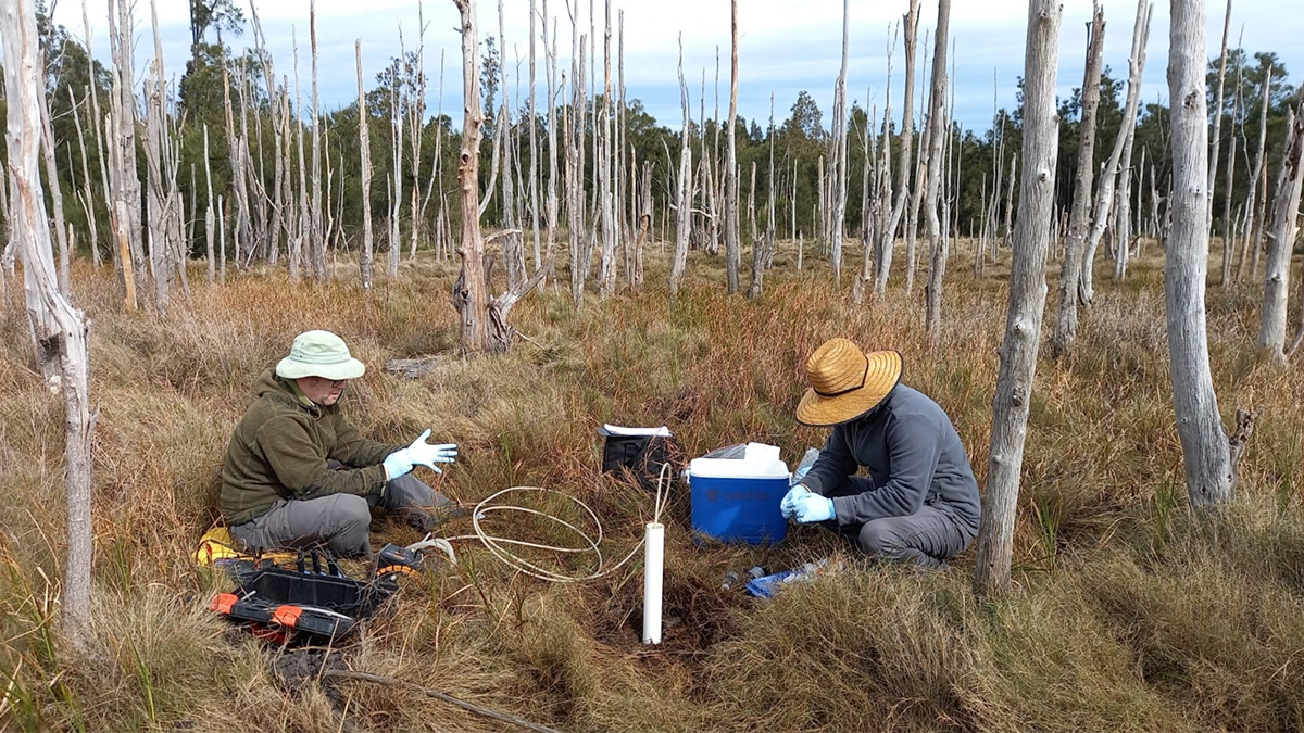
Understanding Flux, from the Wettest Ecosystems to the Driest
Pulses of activity, from tides to precipitation swings, play a crucial, changing role in ecosystems worldwide.