Restoring formerly drained peat wetlands can mitigate climate-warming emissions but the reward takes patience.
wetlands
Posted inEditors' Vox
Managing Wetlands to Improve Carbon Sequestration
A new book examines research on wetlands from around the world to illustrate how environmental management can improve carbon sequestration while improving the health and function of wetlands.

Posted inENGAGE, News
Leaky Pipes Are Dosing Baltimore’s Waterways with Drugs
Poor infrastructure is responsible for tens of thousands of pharmaceutical doses that flow through Baltimore’s streams each year.
Posted inEditors' Highlights
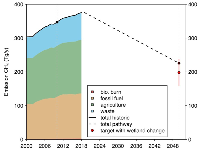
Bottom-up Meets Top-down Estimates of Wetland Methane Emissions
An innovative integration of models and satellite observations indicates weak temperature sensitivity of CH4 emissions from tropical wetlands, but temperature sensitivity is high at higher latitudes.

Posted inNews
Building a Better River Delta
People have been engineering river deltas for millennia, but new research identifies the optimal placement for diversions that benefit both local communities and the environment—and it might be close to a city.

Posted inENGAGE, Research Spotlights
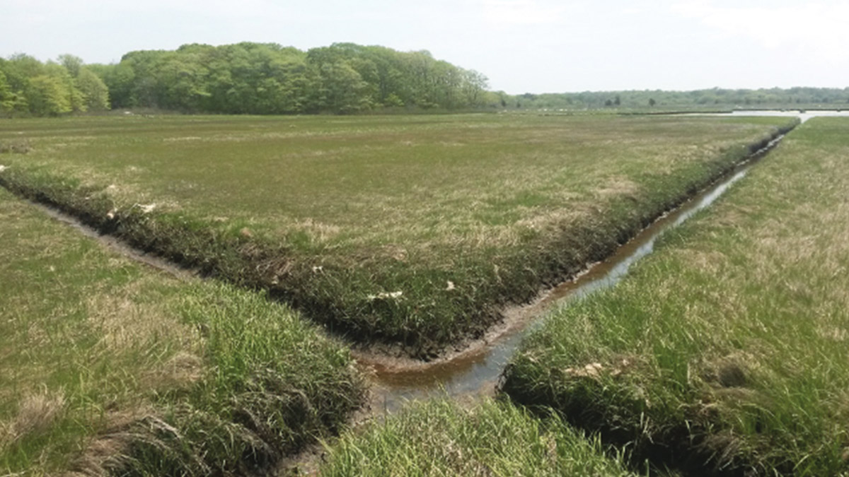
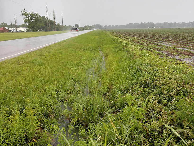
Roadside Ditches Are Effective at Nitrogen Removal
Researchers compared the nitrogen removal potential by microbes in ditches that drained forested, urban, and agricultural lands and discovered that roadside ditches are important areas for removing nutrients.

Posted inResearch Spotlights
Half of U.S. Tidal Marsh Areas Vulnerable to Rising Seas
Adaptation appears possible in some areas, with northerly marshes having a greater capacity to form new soil and gain elevation, whereas some southerly marshes can migrate inland.

Posted inNews
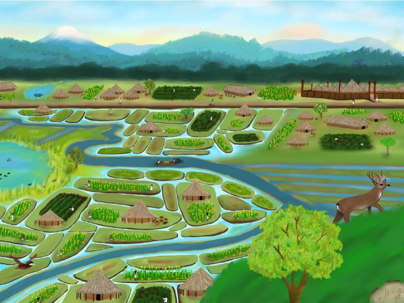
Ancient Maya Made Widespread Changes to Wetland Landscape
A system of canals 2 millennia old sustained a local population after the collapse of its neighbors, and it continues to affect local ecology today.
Posted inNews
Fotografías aéreas revelan un complejo sistema hidráulico Indígena en Bogotá
Los complejos sistemas hidráulicos construidos por los Muisca ayudaron a desarollar los vibrantes humedales urbanos de la capital de Colombia.