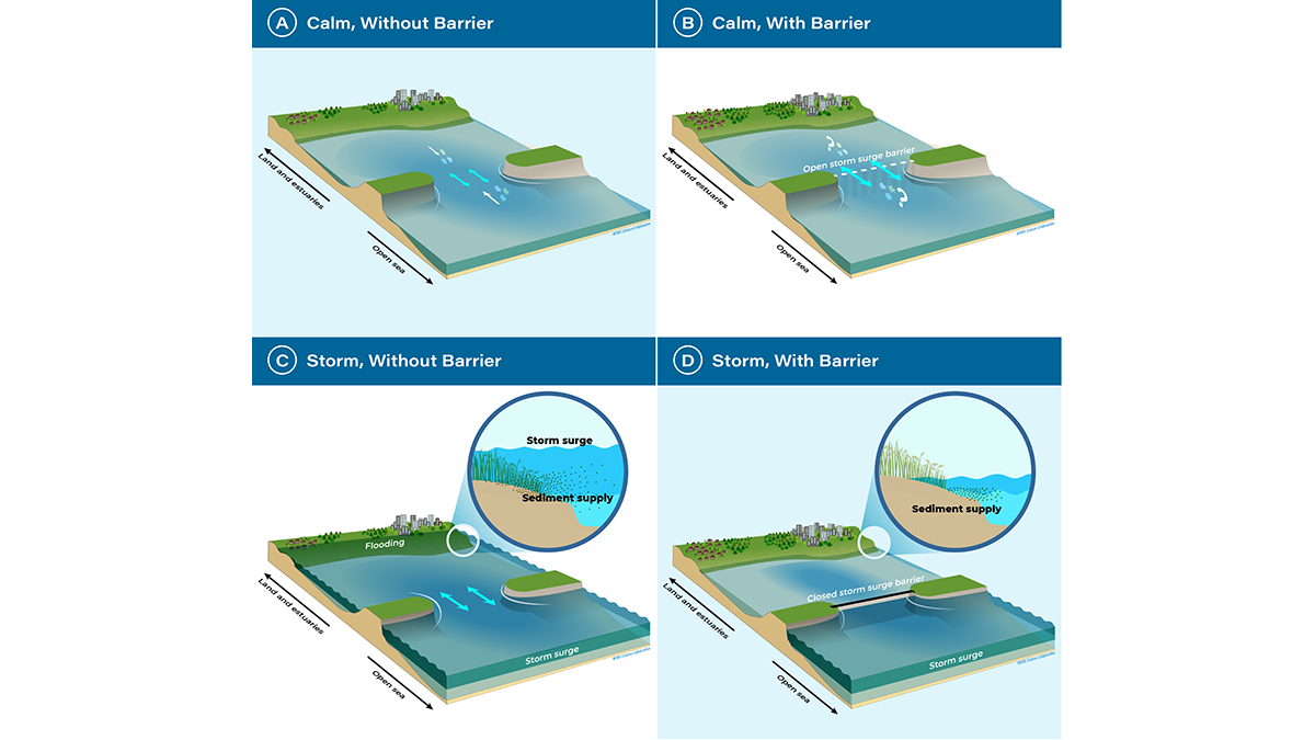
As estuarine barriers are built in response to sea level rise, flooding, and salinization, more research is needed to better understand their implications for human activities and ecosystems.
wetlands

Posted inNews
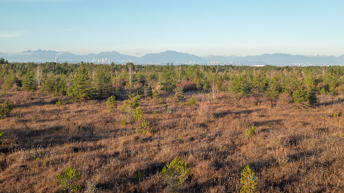
Mapping Wetland Loss Across Three Centuries
Millions of square kilometers of wetlands have been drained or converted to make room for crops, pastures, or development. In some places, up to 80% are gone.
Posted inNews
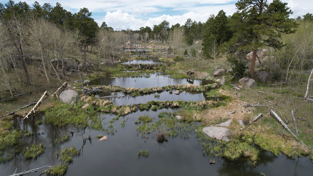
Scientists EEAGER-ly Track Beavers Across Western United States
Efficiently tracking nature’s engineers—beavers—at the scale of entire watersheds over time is now possible, thanks to a new artificial intelligence–trained model called EEAGER.
Posted inResearch Spotlights
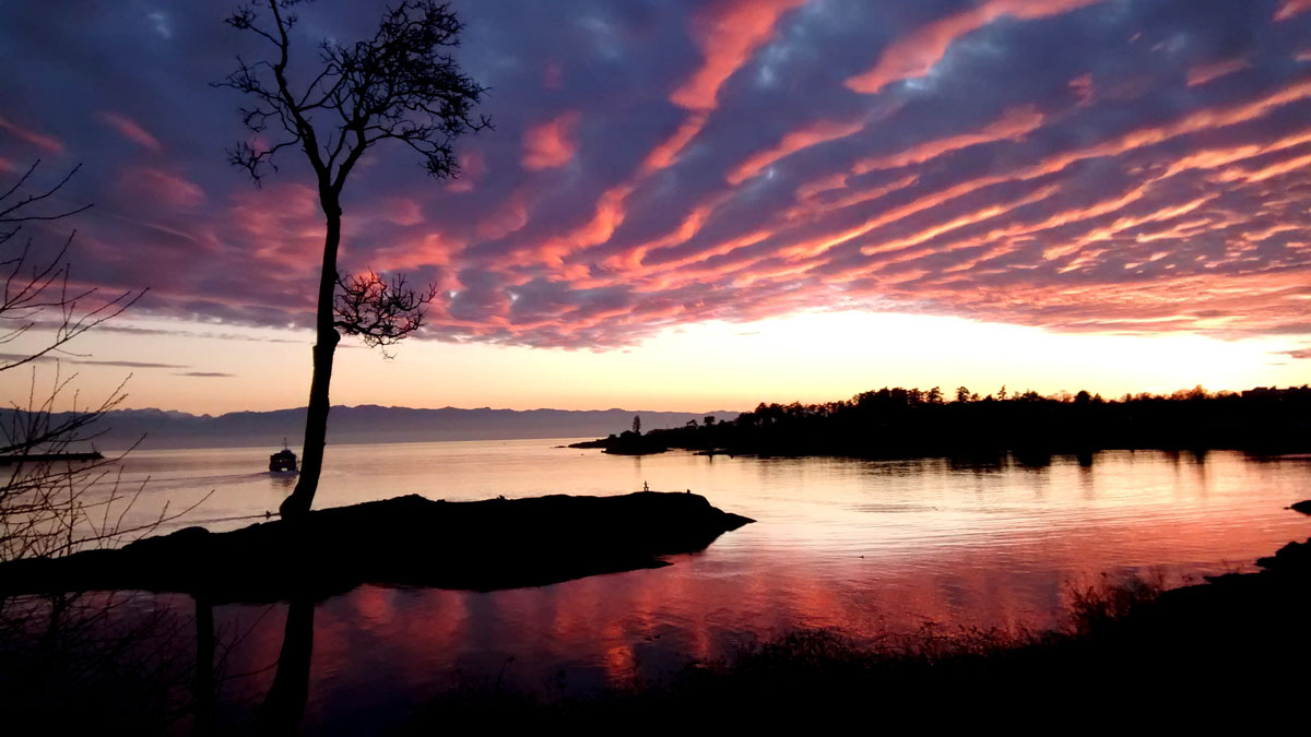
Measuring the Ins and Outflows of Estuaries
Scientists modeled monitoring schemes in three different estuaries to determine instrument layouts that could effectively and efficiently measure exchanges of salt water and freshwater.

Posted inEditors' Highlights
The Burning Tundra
As wildfires blaze through the Arctic, scientists examine the role of landscape characteristics on wildfire ecosystem responses in northern aquatic ecosystems.

Posted inResearch Spotlights
When Projecting Coastal Resilience, Sediment Compaction Is Key
The addition of new sediment helps build up lowland environments like deltas and marshes, but it also compacts materials beneath it—a vital, but often overlooked, factor in landscape evolution studies.
Posted inResearch Spotlights
Exploring Carbon Emissions in Peatland Restoration
Rewetting bogs can increase methane emissions in the short term, but ultimately the approach helps restore peatlands and create larger carbon sinks.

Posted inNews
Wetlands on the Farm: Potent, Nutrient-Capturing Tools in (Relatively) Small Packages
Constructed wetlands can significantly reduce water pollution from tile-drained farms.

Posted inEditors' Highlights
Tracking Subsidence on Deltas With Fiber-Optics
Fiberoptic strain meters capable of measuring micron-scale subsidence reveal a Holocene sediment package on the Mississippi Delta that is mostly stable.

Posted inResearch Spotlights
Tropical Wetlands Emit More Methane Than Previously Thought
Climate models could be vastly underestimating methane emissions from the world’s tropical wetlands, according to observational surveys of wetlands in Zambia.