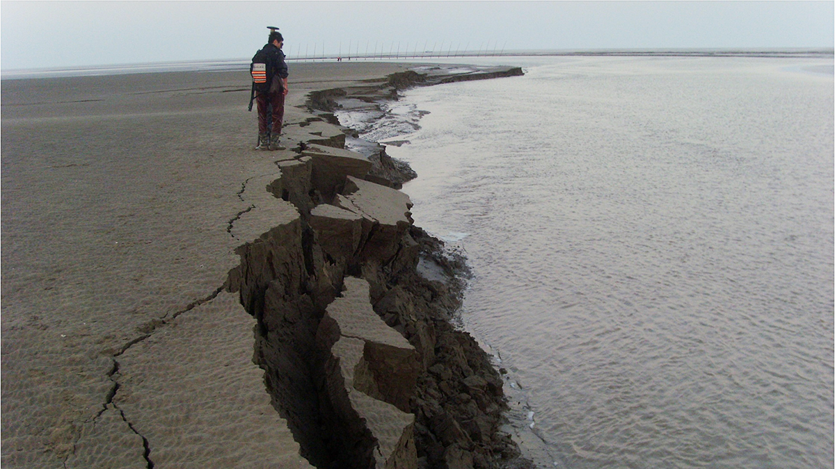
Understanding and predicting the geomorphological response of fluvial and tidal channels to bank retreat underpins the robust management of water courses and the protection of wetlands.
wetlands

Posted inNews
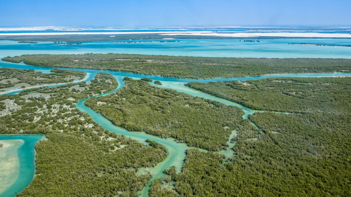
Estimating Land Loss in River Deltas
Some deltas are susceptible to land loss during sea level rise, whereas others gain land because of changes in the courses of rivers.
Posted inResearch Spotlights
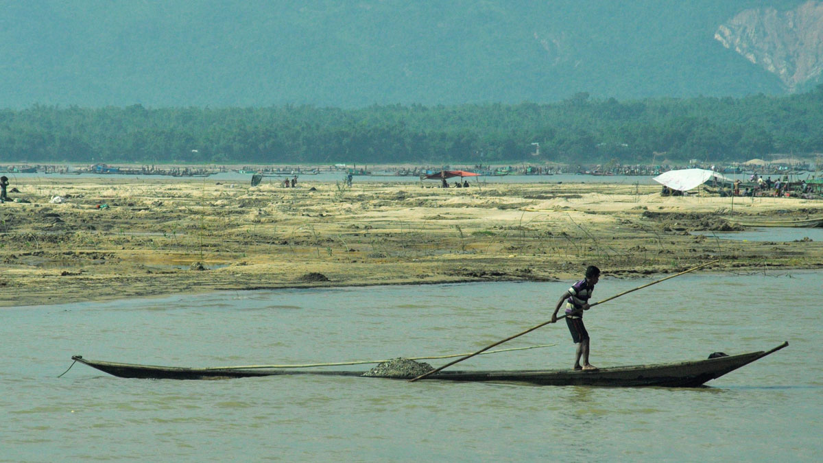
Bangladeshis Feel Increased Consequences of Sedimentation
In northern Bangladesh, residents are losing their livelihoods, homes, and personal safety when water carries sand and gravel into their communities.
Posted inEditors' Highlights
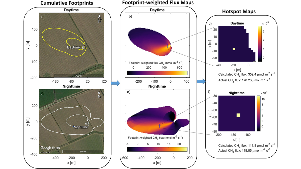
Sleuthing for Culprits of Greenhouse Gas Emissions
A new approach to detect hot spots of methane emissions with eddy covariance flux towers proves to be a worthy contender.
Posted inResearch Spotlights
Atmospheric Rivers Help Coastal Wetlands Build Up Sediment
Accounting for these storms and flooding can help experts predict and respond to rising sea levels.
Posted inNews
Planting Wetlands Could Help Stave Off Climate Catastrophe
A shift in priority and approach to wetland restoration could reduce atmospheric carbon.
Posted inResearch Spotlights
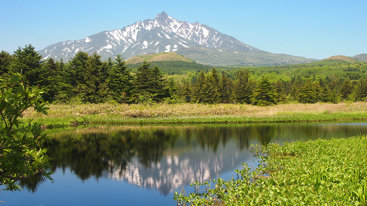
Climate and Currents Shaped Japan’s Hunter-Gatherer Cultures
New climate records from a peat bog show how two neighboring cultures responded differently to shifts in climate and ocean currents.
Posted inEditors' Vox
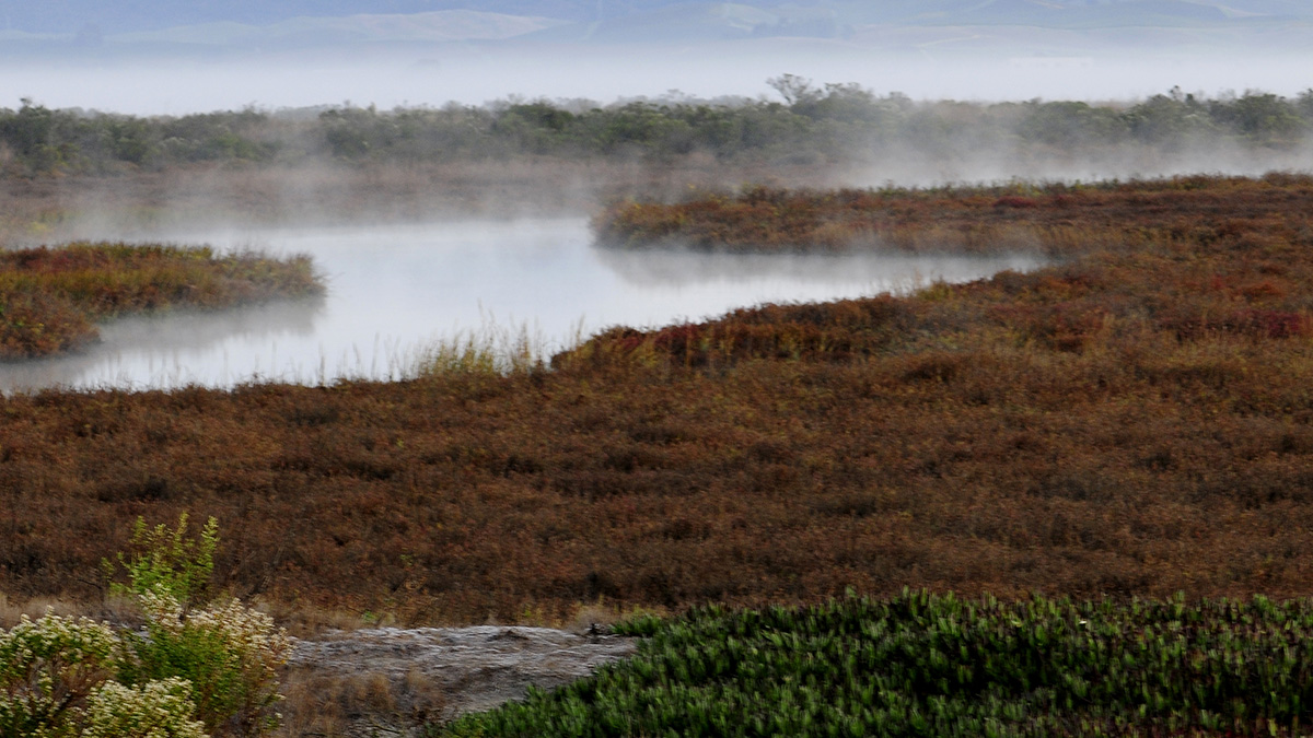
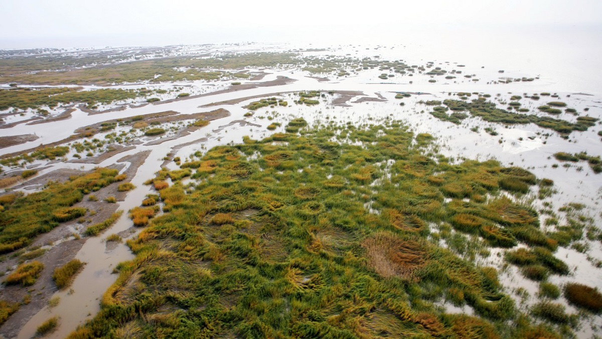
Understanding the Importance of Salt Marshes
Hydrological processes affect plant ecology and the biogeochemical exchange between salt marshes and the sea.

Posted inNews
After a Hurricane, Coastal Systems Draw a Line in the Sand
A new study finds nature can’t have it both ways: On the basis of thousands of case studies from dozens of hurricanes, there’s always a trade-off between resistance and resilience.
Posted inNews
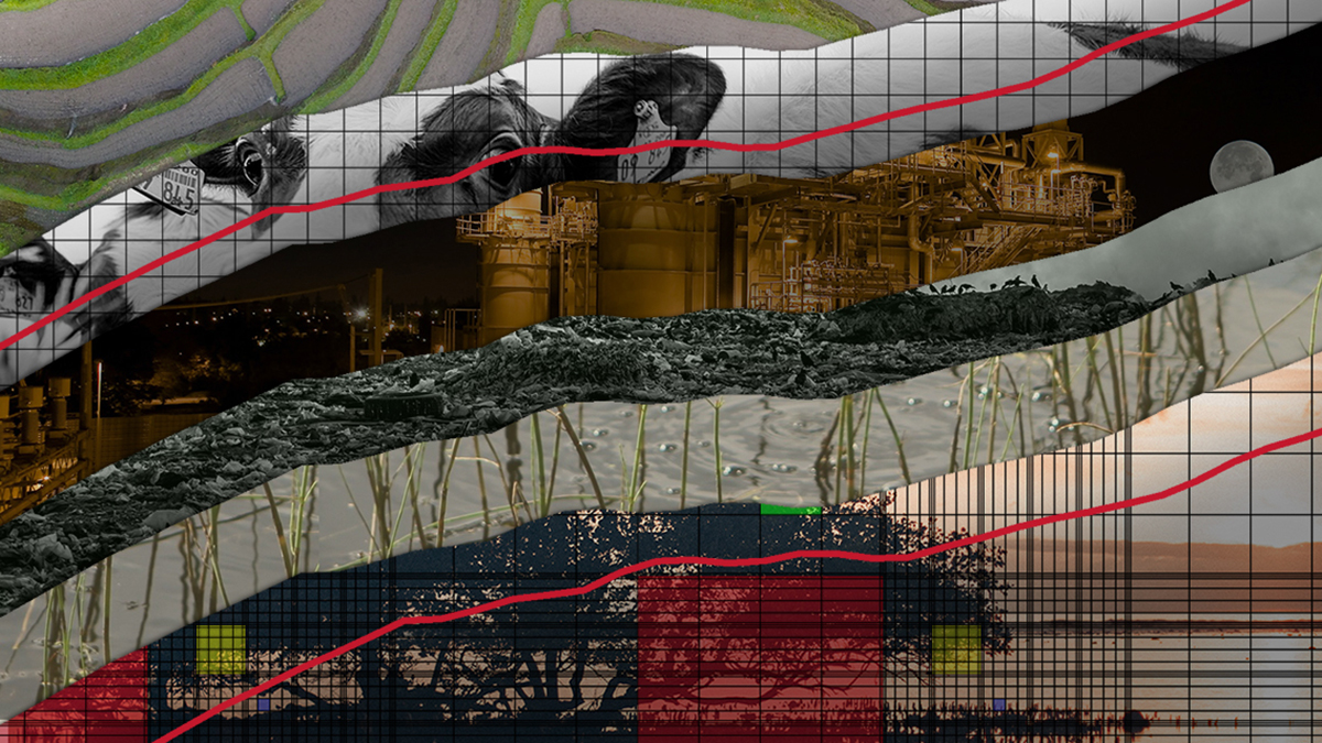
A Climate Mystery Warns Us to Heed the Unknown
The Curve is a series charting the mysterious rise of methane in our atmosphere and the quest to find its source.