
A new study suggests straight-line wind events are increasing in a warming climate.
wind
Posted inNews
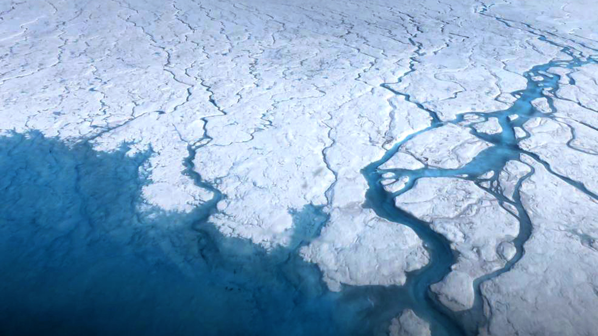
The Winds of Change: Foehn Drive Intense Melt
Atmospheric rivers on the northwestern Greenland Ice Sheet are driving dry winds across northeastern Greenland, forcing extreme short-term melt.

Posted inNews
Did These Curious Rock Formations Inspire the Great Sphinx?
New research says it’s plausible the Great Sphinx started life as a geomorphological oddity known as a yardang.

Posted inNews
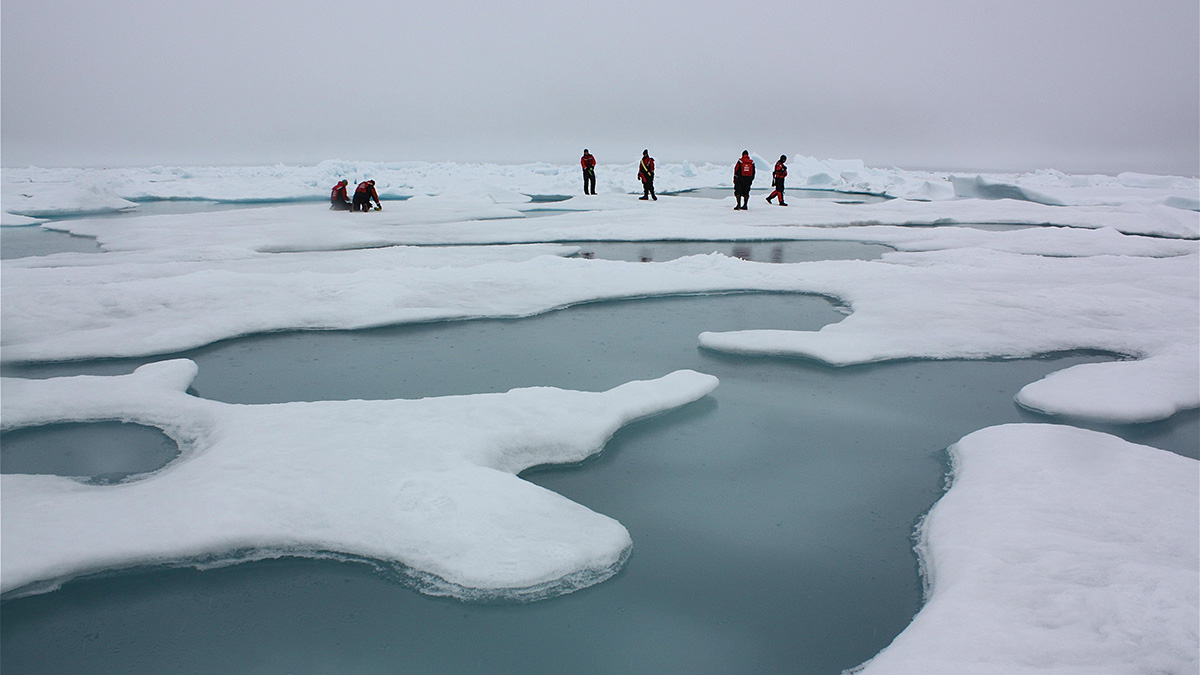
Winds Clear Sea Ice Through Fertile Arctic Waters
The North Water polynya might not be as dependent on a sea ice bridge as previously thought, but not everyone is convinced.

Posted inEditors' Highlights
Modeling the Outer Winds of Tropical Cyclones
A new analytical solution for Emanuel’s theory on how the winds vary with the distance from the hurricane center outside of the core of the storm.
Posted inNews
Sea Ice Is Going, but When Will It Be Gone?
A pair of studies demonstrate the uncertainty over when the Arctic will become seasonally sea ice free.

Posted inScience Updates
The Nitty-Gritty Forces That Shape Planetary Surfaces
Scientists are coming up with ingenious ways to compare terrestrial sand dunes, dust storms, and rain with their counterparts on Mars and Titan.
Posted inEditors' Vox
Danger in the Dust! The Hazards of Windblown Dust
Airborne dust not only causes disease, it also menaces transportation on land, sea, and air; disrupts renewable energy systems; transports pathogens and toxic substances; and poses many other hazards.

Posted inEditors' Highlights
Dust in the (Martian) Wind
The InSight Lander, on Mars, intentionally dumped sand over its seismic instrument’s tether and the wind sorted the particles by size as it blew them away.

Posted inEditors' Highlights
Satellite View of African Easterly Waves and Hurricane Formation
Researchers present a new analysis of surface winds and enthalpy fluxes from satellite retrievals for African easterly waves that intensify into Atlantic hurricanes.