
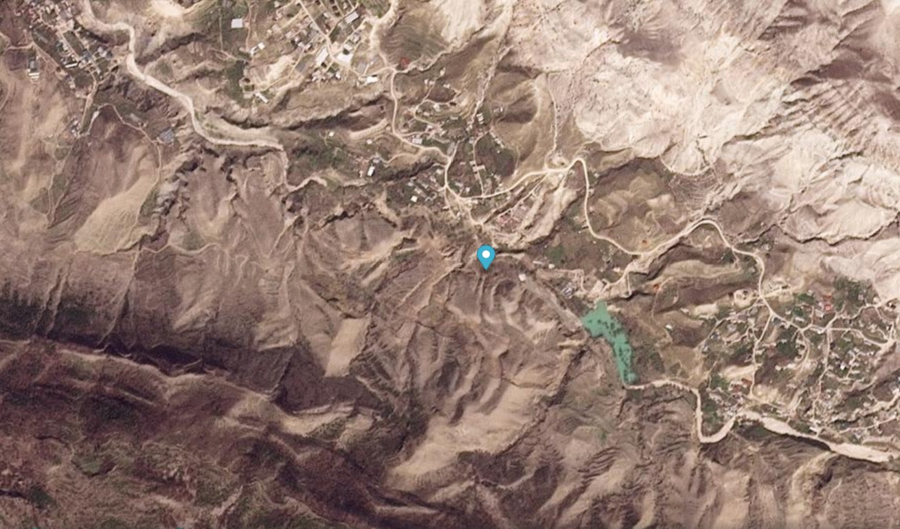
Imagery by Planet Labs has beautifully captured the c. 16 million cubic metre 16 April 2026 Ubekimakhi landslide in Dagestan.

On 16 April 2026, the Ubekimakhi landslide in Dagestan dammed the Barchuma River. This event is described in an interesting paper (Chernomorets et al. 2026) in the journal Landslides. The paper is behind a paywall but this link should give readers full access.
The Ubekimakhi landslide is located at [42.395, 47.193]. Chernomorets et al. (2026) provide a detailed account – in summary it is a c.16 million cubic metre rock block slide that is “c.340 m wide over a downslope distance of about 1,100 m”. The landslide blocked the river, in part because it generated a large and quite interesting frontal pressure ridge.
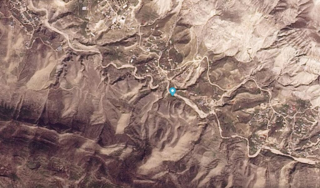
The imagery of this landslide is quite startling. This is a Planet Labs image before failure, collected on 11 April 2026:-
And this is the aftermath:-
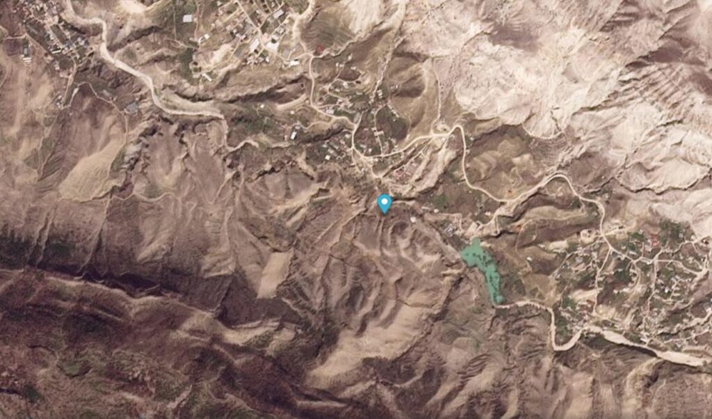
Note the lake on the east side of the landslide. The failure is best observed via a slider:-


The Planet Labs images beautifully capture the movement of the landslide towards the north into the valley, and the lake that developed.
As of 12 October 2026 the lake was still present, although it is not large.
Reference and acknowledgement
Chernomorets, S., Idrisov, I., Strom, A. et al. 2026. The 16 April 2026 Ubekimakhi landslide (Dagestan, Russia): Twofold damming of the Barchuma River by a frontal pressure ridge. Landslides. https://doi.org/10.1007/s10346-026-02879-7
Many thanks to the kind folks at Planet Labs for making their imagery available under the Science Programme.