Despite intentional flooding’s popularity as a weapon, the tactic often did more harm than good to those who unleashed it.
Scenes of flooding, from Colorado to Louisiana to Tbilisi, Georgia, captured international attention this month. For some onlookers, the devastation wrought might make unleashing floods against an enemy seem like a good way to win a war.
Now, a new study finds that in low-lying southwestern Netherlands, intentional flooding to gain the upper hand in war accounted for approximately a third of all floods in the area in the past 500 years. Despite the popularity of flooding as a weapon in the region, the tactic often did more harm than good to those who unleashed it, the research shows.
Deluge of War-Inspired Floods
Between the years 1500 and 2000 in southwestern Netherlands, Dutch troops or other combatants intentionally caused 11 of the 32 major floods of the period in an attempt to gain a military advantage, reports historical geographer Adriaan de Kraker of Vrije University in Amsterdam. His findings were published on 9 June in the journal Hydrology and Earth System Sciences.
Military forces breached dikes and seawalls or opened sluices, allowing salt water to pour in and cover the landscape. In a later development, flood makers would leave defenses against seawater in place but route freshwater from rivers and channels into lowlands or prevent rainfall from draining off the land.
A Failed Strategy
The research shows that intentional flooding often flopped militarily, failing to halt or turn back the advances of enemies, although a notable flood defense by the Dutch starting in 1672 stopped a French army from occupying Amsterdam. Intentional inundation also forced inhabitants it was meant to protect off their lands and destroyed their property. It interfered with harvests, infused soil with harmful and long-lasting salinity when seawater was used, and reconfigured waterways through erosion and soil deposition, according to de Kraker.

The price of failure could be steep. For instance, during the Eighty Years’ War that began in 1568 and culminated with independence of the Netherlands from Spanish rule, the Dutch took elaborate measures to keep Spain from seizing control of the countryside. With surgical precision meant for maximum inundation, they flooded their own lands on the Flemish side of the Western Scheldt.
The maneuver failed on a massive scale. “The carefully chosen places to make breaches in the seawall or to simply take out a wooden sluice had a devastating impact on the landscape, but this strategy completely missed its directly anticipated goals,” de Kraker reported. “Bruges, Ghent and Antwerp were subdued by the Spanish in the course of 1584 and 1585, leaving the rebel side [the Dutch] empty-handed.”
Risky Business
Much of the risk of using floods for war in the Netherlands lay in controlling the water, de Kraker explained. Too much water and enemy boats could easily cross; too little and hostile armies pulling heavy cannons could cross on foot. What the Dutch needed was a flood of 50 centimeters—at that level, “it’s one muddy mess,” de Kraker said.
Also, small holes in dikes would lead to big trouble when not quickly repaired. With every high tide, the gaps would deepen and widen. “During the sixteenth and seventeenth century, things got beyond any form of control” de Kraker noted. Many flooded lands remained underwater, even after hostilities ceased. Others that were drained received inadequate repairs, later suffering deadly natural floods as a result.
Enter Deliberate Freshwater Floods
By the end of the eighteenth century, what had been mainly intentional saltwater flooding in the Netherlands expanded to include on-purpose freshwater inundations. The region encompasses the deltas of three major European rivers, so freshwater is abundant. Military planners devised ways to commandeer the network of channels, ditches, and sluices—usually used to keep the dike-protected lowlands, called polders, dry and productive—to fill them up, instead, with freshwater.
This freshwater tactic was meant to alleviate the salt stress on agriculture. Seawater-flooded polders could take years to return to preinundation agricultural production levels, sometimes hastened by growing salt-resistant rapeseed if flooding stopped early enough in late summer to fall. However, the freshwater approach relied heavily on spies to report enemy action well in advance of any attack.
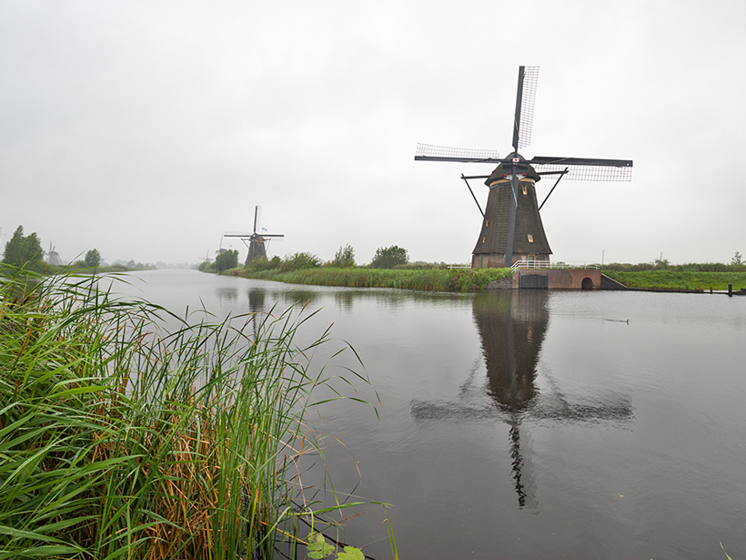
For the Dutch, on-purpose freshwater and saltwater flooding was an especially risky tactic, commented U.S. Army Infantry Branch historian David Stieghan of Fort Benning, Ga., who did not participate in the study. This is because the low-lying lands relied on windmills to pump water out of the polders to the North Sea, he explained. Elsewhere, “you open a dam and the land dries out in days or weeks.” Not so in the Netherlands, where many regions are below sea level, he added.
High and Dry
In his investigation of southwestern Netherlands flooding, de Kraker visited European museums and libraries, studied aerial photos of southwestern Netherlands, and investigated archaeological evidence, such as pottery and the remnants of old walls. He also pored over centuries-old correspondence of rebels, Spanish officials, and mayors of besieged towns, as well as other historical documents and maps related to ownership and use of lands in the region, maintenance of local sea walls, and changes to the area’s landscape and soil.
Intentional flooding brought silt into lowlands, so “the short-term loss could turn out to be a long-term gain.”
Although intentional flooding in southwestern Netherlands largely failed militarily and harmed inhabitants and farms during the wars in which it was used, it brought silt into lowlands, so “the short-term loss could turn out to be a long-term gain,” de Kraker told Eos.
Today, for example, some polders near Rotterdam and Amsterdam that avoided massive flooding for over 800 years lie as deep as 6 meters below sea level. Yet 50,000 hectares that were flooded during the Eighty Years’ War, with a thick layer of clay that the flooding deposited over time, now stand about a meter above sea level.
—Christina Reed, Freelance Writer
Citation: Reed, C. (2015), Floods fail in war, win as weapon against sea level rise, Eos, 96, doi:10.1029/2015EO032203. Published on 29 June 2015.
Text © 2015. The authors. CC BY-NC 3.0
Except where otherwise noted, images are subject to copyright. Any reuse without express permission from the copyright owner is prohibited.