Although it is not tiny, Lake Snow Eagle was easy to miss. The lake is estimated to be 198 meters (650 feet) deep, 48 kilometers (30 miles) long, and 14 kilometers (9 miles) wide but is buried 3.2 kilometers (2 miles) under ice in Princess Elizabeth Land, nearly 500 kilometers (a few hundred miles) from Antarctica’s coast.
A new study reveals not only how an international team of scientists discovered the lake using aerial ice-penetrating radar but how the discovery may lead to a fuller understanding of the evolution of the East Antarctic Ice Sheet.
Shuai Yan, a graduate research assistant at the University of Texas at Austin, said that although researchers previously had “decent” measurements of the surface of the ice sheet, they lacked similar information about the area below. “We simply didn’t have any data from this region until we went and did the field work,” he said.
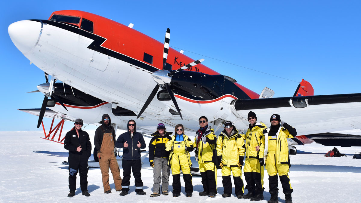
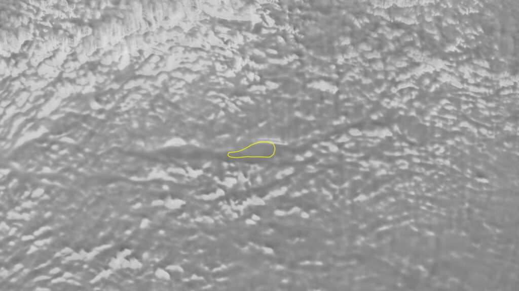
Yan and the other researchers said that the first hint that the lake and its host canyon even existed emerged when scientists spotted a smooth depression on satellite images of the ice sheet. The team then spent 3 years flying systematic surveys over the site with ice-penetrating radar and sensors that measure minute changes in Earth’s gravity and magnetic field.
“Around midnight, I was sitting in front of where the radargram is processed, and on the screen we saw this beautiful, bright reflection.”
Yan was the one who spotted the lake itself during the ICECAP 2 (International Collaborative Exploration of Central East Antarctica through Airborne geophysical Profiling) field campaign, which was conducted in 2018–2019 with the logistical assistance of the Australian Antarctic Division and in partnership with other international collaborators.
Yan made the discovery during an overnight data-processing session. “We fly in the daytime, and I wasn’t on that specific flight. I was the one who processed the data overnight to make sure the data was good and everything was working well,” he explained. “Around midnight, I was sitting in front of where the radargram is processed, and on the screen we saw this beautiful, bright reflection.”
That reflection was the lake hidden below the ice.
Next Steps
Researchers say sediments trapped beneath Lake Snow Eagle could reveal clues about a time when Antarctica had no ice at all—a sparsely documented time period more than 34 million years ago—as well as glacial cycles since then.
“There is a significant amount of sediment at the bottom of this lake, and we believe these sediments could be an archive of what Antarctica was like before it froze over, how it froze, and the evolution of the ice sheet during the glacial cycles since then,” Yan said.
Martin Siegert, a coauthor, glaciologist, and professor at Imperial College London, agreed. “Our knowledge is based on sediments at the ice sheet margin or offshore,” he explained. “A lake record would be in situ (from beneath the ice sheet itself) and so would be definitive in its information, rather than just clues that need to be unraveled from existing records.”
Tobias Staal, a research associate in Antarctic seismology working for the Australian Centre for Excellence in Antarctic Science who was not involved with the new research, said that the lake’s existence has been suggested for a while but there had been large uncertainties.
“The paper presents one of the first detailed insights of any kind into the region,” Staal said. “Previously, we only had satellite-derived data and some rather uncertain extrapolations to map the interior of Princess Elizabeth Land.”
Staal said airborne geophysics provides some significant insight into subglacial geothermal heat flow and erosion/deposition of sediments. However, there is still much more to investigate with denser flight lines, ground-based investigations using seismic surveys, and even, potentially, drilling.
Yan said that the team’s future goal is to secure funding to extract sediment samples from the lake bed.
“We believe this lake could be an ideal target for direct coring,” Yan said. “It would be really challenging to drill through two miles of ice and a few hundred meters of water, but it would be exciting and scientifically important to one day have a sample from that sediment.”
Staal advised that such a program would also be very costly and must be discussed in the context of other data gaps.
Adriana Ariza-Pardo, a geoscientist and Antarctic researcher at GMAS consultants in Colombia who was also not involved in the new research, attested to the challenges from her own experiences there but agreed that Antarctica is an important place to study.
“Antarctica is experiencing several changes in its environment, the most notable being those related to the loss of mass of glaciers, the extent of sea ice, the collapse of ice shelves, the increase in air temperature, along with the consequences that these variations generate in the particular Antarctic ecosystems and the rest of the planet,” Ariza-Pardo said. “A method to understand these changes can be done through sediment provenance studies, among other geoscientific methods.”
—Andrew J. Wight, Science Writer