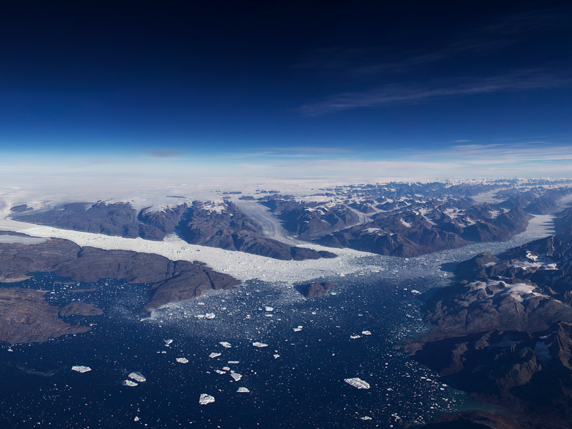
A first look at data from NASA’s laser altimeter mission ICESat-2 reveals very high resolution 3-D profiles of ice on land and sea, forests, and shallow bodies of water.
MOST SHARED
Geophysical Research Letters
“Northward Expansion of Desert Climate in Central Asia in Recent Decades”
By Qi Hu, Zihang Han
HIGHLY CITED
Earth and Space Science
“A new digital bathymetric model of the world's oceans”
By Pauline Weatherall et al.
HOT ARTICLE
GeoHealth
“Emission Sector Impacts on Air Quality and Public Health in China From 2010 to 2020”
By Luke Conibear et al.