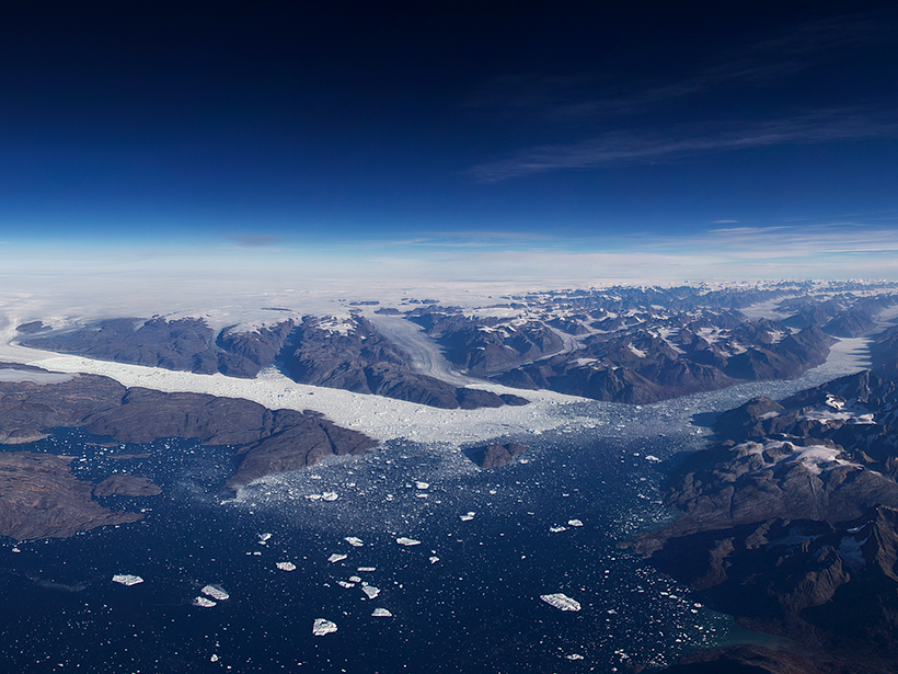
A first look at data from NASA’s laser altimeter mission ICESat-2 reveals very high resolution 3-D profiles of ice on land and sea, forests, and shallow bodies of water.
B. Smith

Posted inScience Updates
Charting Ice Sheet Contributions to Global Sea Level Rise
An international team produced an integrated assessment of polar ice mass losses in 2012. Now efforts to provide an up-to-date assessment are under way, with an open invitation for participation.