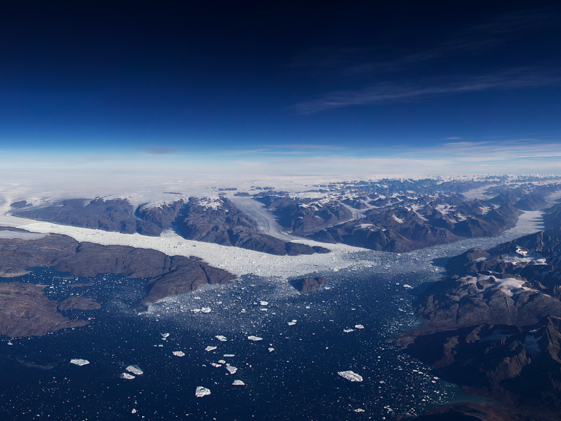
A first look at data from NASA’s laser altimeter mission ICESat-2 reveals very high resolution 3-D profiles of ice on land and sea, forests, and shallow bodies of water.
K. M. Brunt
Posted inScience Updates
What Instruments Are Available for Polar Studies?
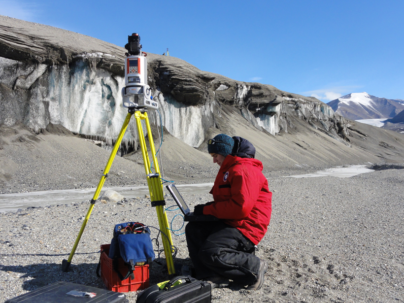
Instrumentation for Polar Glaciology and Geophysics Research Workshop; Baltimore, Maryland, 9–10 October 2014


