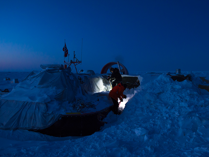
A hovercraft-based ice drift station gives researchers access to previously inaccessible regions of the changing Arctic sea ice cover off the coast of Greenland.
Science Updates

Posted inScience Updates
Joint Aerosol Research Between Cuba and Spain Proves Fruitful
Optics Atmospheric Teams' Workshop; Camagüey, Cuba, 27–29 January 2016
Posted inScience Updates
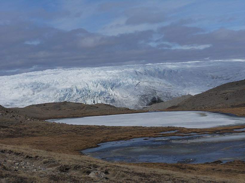
Climate-Driven Change in Ice-Free Areas of Greenland
KAIRN (Kangerlussuaq International Research Network) 2nd Annual Meeting; Acadia National Park, Maine, 4–7 May 2016

Posted inScience Updates
Developments in Ice Core Research on Past Climate Change
IPICS 2016 Open Science Conference; Hobart, Australia, 7–11 March 2016
Posted inScience Updates
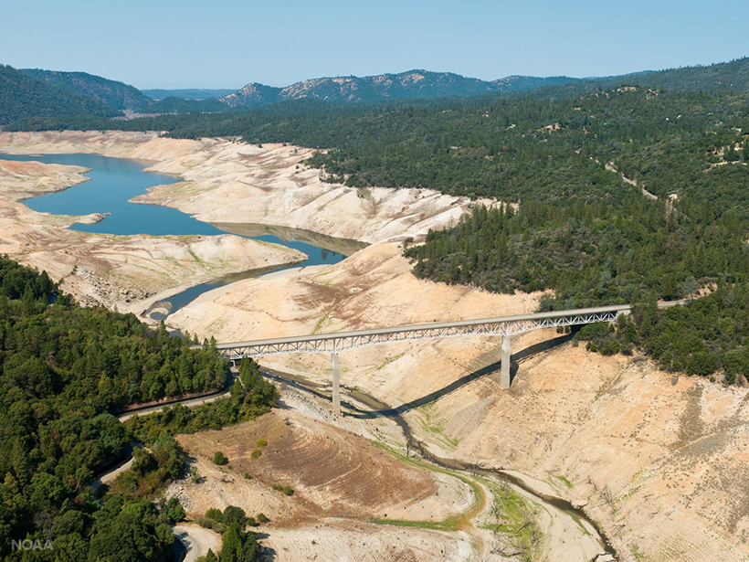
Climate Change, Groundwater Management, and California's Future
Conference on Climate Change and the Sustainable Groundwater Management Act; University of California, Davis, California, 4–5 April 2016

Posted inScience Updates
Comprehensive Earth System Models of the Last Glacial Cycle
Much of modern climate science fails to consider millennium-scale processes, many of which may prove to be important for predicting the climate trajectory in the shorter term.
Posted inScience Updates
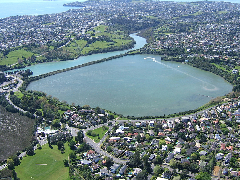
Probing the History of New Zealand's Orakei Maar
A team of scientists drilled into the bed within a northern New Zealand explosion crater lake to gain insights into volcanic hazards and past climates.
Posted inScience Updates
Building an Accessible Archive for Water Column Sonar Data
The Water Column Sonar Data Archive aggregates and curates sonar data sets from many sources, giving researchers access to much more information than they could collect on their own.
Posted inScience Updates
Advancing Soil Carbon Cycle Science
Workshop to celebrate 2015–2024 International Decade of Soil; Boulder, Colorado, 14–16 March, 2016

Posted inScience Updates
Communicating Arctic Science Creatively for Diverse Audiences
Revealing the New Arctic: A Climate Change Communication Workshop; San Francisco, California, 16 December 2015