
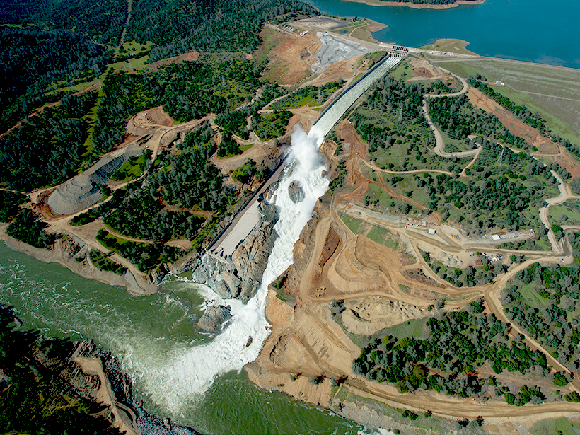
New research suggests that excessive groundwater usage and damming have changed the natural risk of nuisance floods, for better or worse, in eastern U.S. coastal cities.
CC BY-NC-ND 2017

Posted inScience Updates
Drone Peers into Open Volcanic Vents
An unmanned aerial vehicle provided the high-resolution data that allowed scientists to construct their first detailed map of erupting vents at Stromboli, one of the world’s most active volcanoes.
Posted inResearch Spotlights
California Floods Linked to Atmospheric Water Vapor “Rivers”
Narrow atmospheric streams of water vapor that deliver heavy rains are more commonly associated with floods and debris flows in northern California than with flash floods in southern California.

Posted inResearch Spotlights
A New Baseline to Monitor Earth’s Dynamic Surface
Researchers devise a new mathematical approach to combine space- and ground-based observations into an alternative reference frame for monitoring the changing positions of Earth’s features.

Posted inNews
Honoring Earth and Space Scientists
Remembering AGU members and others who have passed away.

Posted inResearch Spotlights
How the Micrometeorology of Alpine Forests Affects Snowmelt
A field study in the Swiss Alps showed considerable spatial and temporal variability in forest air and surface temperatures, with implications for snowmelt models.

Posted inNews
Giant Snails’ Century-Old Shells Recorded Monsoon Rainfall
Researchers explored past precipitation in India using shells from very large land snails collected there in 1918 and preserved in a British museum.
Posted inEditors' Vox
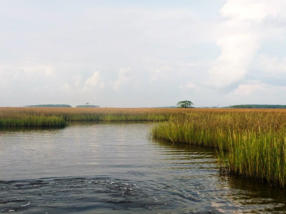
Water World: Sea Level Rise, Coastal Floods, and Storm Surges
A special issue of Earth’s Future examines the impacts of sea level rise on coastal areas and showcases a paradigm shift in the modeling of these dynamic systems.

Posted inScience Updates
A New Tool for Deep-Down Data Mining
GeoDeepDive combines library science, computer science, and geoscience to dive into repositories of published text, tables, and figures and return valuable information.
Posted inNews
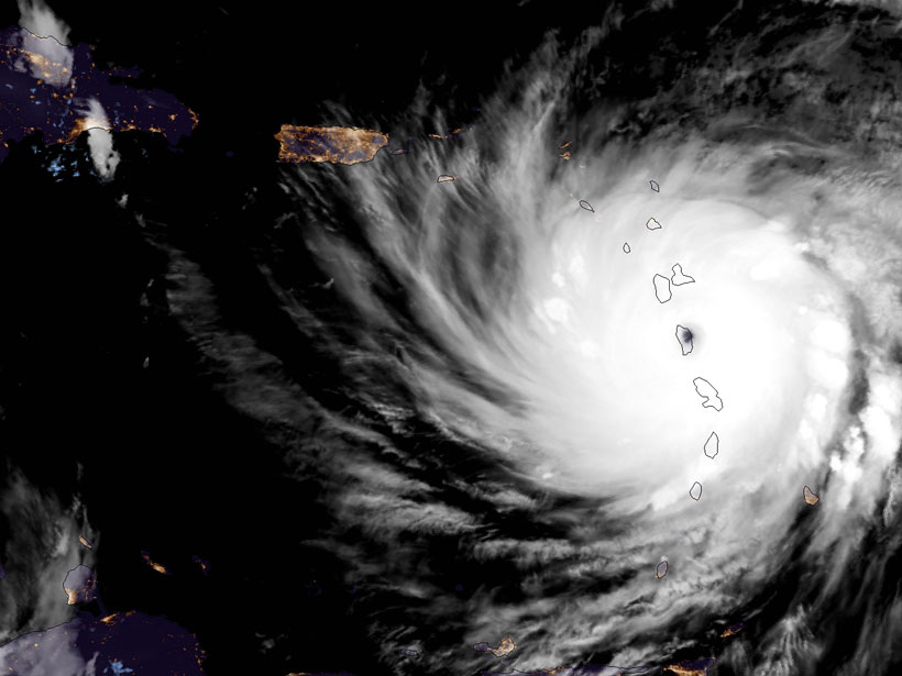
Unprecedented Hurricane Season Sees Widespread Damage
This hurricane season has broken multiple records already.